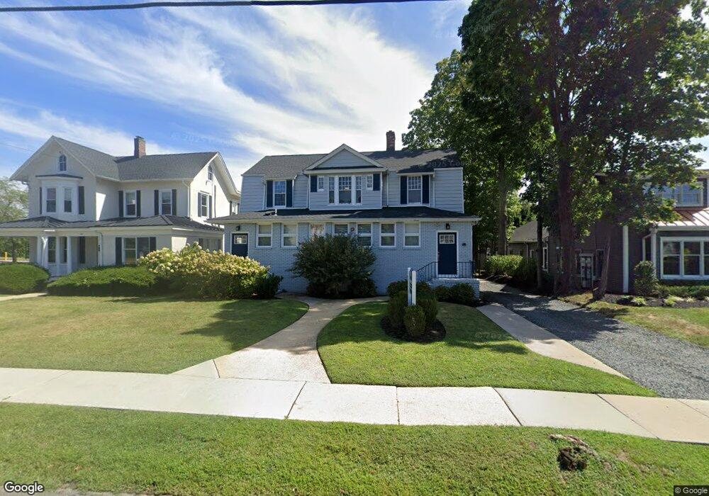
325 Broad St Red Bank, NJ 07701
Estimated Value: $824,058
--
Bed
--
Bath
2,348
Sq Ft
$351/Sq Ft
Est. Value
About This Home
This home is located at 325 Broad St, Red Bank, NJ 07701 and is currently estimated at $824,058, approximately $350 per square foot. 325 Broad St is a home located in Monmouth County with nearby schools including Red Bank Primary School, Red Bank Middle School, and Red Bank Regional High School.
Ownership History
Date
Name
Owned For
Owner Type
Purchase Details
Closed on
Jan 25, 2016
Sold by
Ml Partners Llc
Bought by
Rega 325 Broad Street Llc
Current Estimated Value
Purchase Details
Closed on
Nov 21, 2012
Sold by
London Merritt E
Bought by
Ml Partners Llc
Home Financials for this Owner
Home Financials are based on the most recent Mortgage that was taken out on this home.
Original Mortgage
$423,750
Interest Rate
3.44%
Mortgage Type
Commercial
Create a Home Valuation Report for This Property
The Home Valuation Report is an in-depth analysis detailing your home's value as well as a comparison with similar homes in the area
Home Values in the Area
Average Home Value in this Area
Purchase History
| Date | Buyer | Sale Price | Title Company |
|---|---|---|---|
| Rega 325 Broad Street Llc | $385,000 | None Available | |
| Ml Partners Llc | $565,000 | Agent For Old Republic Natio |
Source: Public Records
Mortgage History
| Date | Status | Borrower | Loan Amount |
|---|---|---|---|
| Previous Owner | Ml Partners Llc | $423,750 |
Source: Public Records
Tax History Compared to Growth
Tax History
| Year | Tax Paid | Tax Assessment Tax Assessment Total Assessment is a certain percentage of the fair market value that is determined by local assessors to be the total taxable value of land and additions on the property. | Land | Improvement |
|---|---|---|---|---|
| 2025 | $11,071 | $642,400 | $483,500 | $158,900 |
| 2024 | $12,731 | $586,100 | $433,500 | $152,600 |
| 2023 | $12,731 | $666,200 | $513,500 | $152,700 |
| 2022 | $13,418 | $659,700 | $513,500 | $146,200 |
| 2021 | $13,418 | $599,800 | $466,800 | $133,000 |
| 2020 | $13,362 | $588,100 | $466,800 | $121,300 |
| 2019 | $12,923 | $584,500 | $466,800 | $117,700 |
| 2018 | $12,687 | $580,100 | $466,800 | $113,300 |
| 2017 | $12,223 | $579,300 | $466,800 | $112,500 |
| 2016 | $12,145 | $576,400 | $466,800 | $109,600 |
| 2015 | $11,617 | $571,400 | $475,000 | $96,400 |
| 2014 | $10,931 | $571,400 | $475,000 | $96,400 |
Source: Public Records
Map
Nearby Homes
- 17 Leroy Place Unit 3B
- 17 Leroy Place Unit 2B
- 59 Leroy Place
- 70 Hudson Ave
- 58 Hudson Ave
- 3 Cedar Crossing
- 48 Hudson Ave
- 44 Hudson Ave
- 23 Cedar Crossing
- 59 Peters Place
- 24 Cedar Crossing
- 39 Sunset Ave E
- 199 Pinckney Rd
- 82 Patterson Ave
- 19 Sunset Ave E
- 82 Linden Place
- 171-173 Bridge Ave
- 55 Spruce Dr
- 4 Manor Dr
- 159 Bridge Ave
- 321 Broad St
- 333 Broad St Unit Office 3 / Suite 300
- 333 Broad St
- 22 Pinckney Rd Unit B
- 22 Pinckney Rd Unit C
- 335 Broad St Unit 30
- 326 Broad St
- 320 Broad St
- 345 Broad St Unit 2
- 345 Broad St Unit 1
- 342 Broad St
- 316 Broad St
- 16 Pinckney Rd
- 303 Broad St
- 20 Pinckney Rd
- 20 Pinckney Rd
- 20 Pinckney Rd
- 20 Pinckney Rd
- 20 Pinckney Rd
- 20 Pinckney Rd