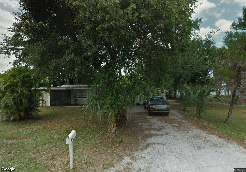
325 Byron Ave North Fort Myers, FL 33917
Estimated Value: $193,000 - $211,000
3
Beds
2
Baths
1,026
Sq Ft
$194/Sq Ft
Est. Value
About This Home
This home is located at 325 Byron Ave, North Fort Myers, FL 33917 and is currently estimated at $198,798, approximately $193 per square foot. 325 Byron Ave is a home located in Lee County with nearby schools including J. Colin English Elementary School, Dr. Carrie D. Robinson Littleton Elementary School, and Tropic Isles Elementary School.
Ownership History
Date
Name
Owned For
Owner Type
Purchase Details
Closed on
Jan 26, 2004
Sold by
Brown Jacquelyn E
Bought by
Martinez Ronald R
Current Estimated Value
Home Financials for this Owner
Home Financials are based on the most recent Mortgage that was taken out on this home.
Original Mortgage
$81,600
Outstanding Balance
$37,923
Interest Rate
5.81%
Estimated Equity
$160,875
Purchase Details
Closed on
Sep 20, 2001
Sold by
Brown James L and Brown Jacquelyn E
Bought by
Brown Jacquelyn E
Create a Home Valuation Report for This Property
The Home Valuation Report is an in-depth analysis detailing your home's value as well as a comparison with similar homes in the area
Home Values in the Area
Average Home Value in this Area
Purchase History
| Date | Buyer | Sale Price | Title Company |
|---|---|---|---|
| Martinez Ronald R | $85,900 | -- | |
| Brown Jacquelyn E | -- | -- |
Source: Public Records
Mortgage History
| Date | Status | Borrower | Loan Amount |
|---|---|---|---|
| Open | Martinez Ronald R | $81,600 |
Source: Public Records
Tax History Compared to Growth
Tax History
| Year | Tax Paid | Tax Assessment Tax Assessment Total Assessment is a certain percentage of the fair market value that is determined by local assessors to be the total taxable value of land and additions on the property. | Land | Improvement |
|---|---|---|---|---|
| 2025 | $355 | $26,836 | -- | -- |
| 2024 | $325 | $26,080 | -- | -- |
| 2023 | $325 | $25,320 | $0 | $0 |
| 2022 | $411 | $24,583 | $0 | $0 |
| 2021 | $356 | $102,093 | $10,764 | $91,329 |
| 2020 | $347 | $23,537 | $0 | $0 |
| 2019 | $334 | $23,008 | $0 | $0 |
| 2018 | $333 | $22,579 | $0 | $0 |
| 2017 | $323 | $22,115 | $0 | $0 |
| 2016 | $288 | $57,325 | $5,134 | $52,191 |
| 2015 | $279 | $46,600 | $5,134 | $41,466 |
| 2014 | -- | $40,299 | $7,204 | $33,095 |
| 2013 | -- | $30,301 | $5,796 | $24,505 |
Source: Public Records
Map
Nearby Homes
- 1287 Arapahoe St
- 293 Byron Ave
- 245 Hubbard Ave
- 208 Lakeview Dr
- 298 Lakeview Dr
- 1404 Keuka Ave
- 1322 Old Bridge Rd
- 300 Hubbard Ave
- 1275 Old Bridge Rd
- 372 Park Lane Dr
- 1338 Old Bridge Rd
- 287 Poe Ave
- 14513 Nathan Hale Ln
- 1271 Gramac Dr
- 14527 Paul Revere Loop
- 14502 Nathan Hale Ln Unit 467
- 5502 Harbor Ln
- 14497 Nathan Hale Ln
- 14510 Paul Revere Loop
- 5628 Captain John Smith Loop
- 329 Byron Ave
- 323 Byron Ave
- 337 Lakeview Dr
- 328 Byron Ave
- 322 Byron Ave
- 335 Lakeview Dr
- 330 Byron Ave
- 339 Lakeview Dr
- 316 Byron Ave
- 14559 Lara Cir
- 325 Whittier Ave
- 331 Whittier Ave
- 331 Lakeview Dr
- 317 Whittier Ave
- 345 Lakeview Dr
- 314 Byron Ave
- 368 Lakeview Dr
- 14563 Lara Cir
- 340 Lakeview Dr
- 311 Whittier Ave