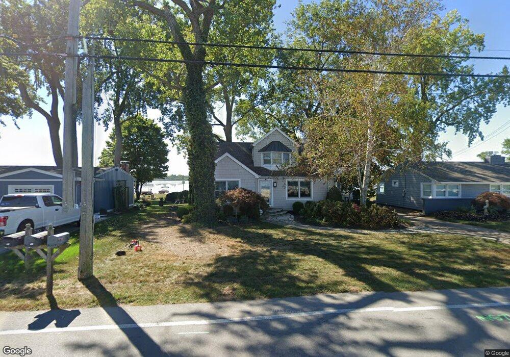
325 Cedar Point Rd Sandusky, OH 44870
Estimated Value: $480,663 - $598,000
3
Beds
2
Baths
1,463
Sq Ft
$373/Sq Ft
Est. Value
About This Home
This home is located at 325 Cedar Point Rd, Sandusky, OH 44870 and is currently estimated at $545,916, approximately $373 per square foot. 325 Cedar Point Rd is a home located in Erie County with nearby schools including Sandusky High School.
Ownership History
Date
Name
Owned For
Owner Type
Purchase Details
Closed on
Dec 14, 2018
Sold by
Hanley Kimberly N and Hanley Cole
Bought by
Calvey Colleen
Current Estimated Value
Home Financials for this Owner
Home Financials are based on the most recent Mortgage that was taken out on this home.
Original Mortgage
$288,000
Outstanding Balance
$183,438
Interest Rate
4.8%
Mortgage Type
New Conventional
Estimated Equity
$362,478
Purchase Details
Closed on
Dec 12, 1995
Sold by
Schriner Jean E
Bought by
Stein George P and Stein Kimberly N
Home Financials for this Owner
Home Financials are based on the most recent Mortgage that was taken out on this home.
Original Mortgage
$159,000
Interest Rate
7.38%
Mortgage Type
New Conventional
Create a Home Valuation Report for This Property
The Home Valuation Report is an in-depth analysis detailing your home's value as well as a comparison with similar homes in the area
Purchase History
| Date | Buyer | Sale Price | Title Company |
|---|---|---|---|
| Calvey Colleen | $320,000 | Hartung Title | |
| Stein George P | $179,000 | -- |
Source: Public Records
Mortgage History
| Date | Status | Borrower | Loan Amount |
|---|---|---|---|
| Open | Calvey Colleen | $288,000 | |
| Previous Owner | Stein George P | $159,000 |
Source: Public Records
Tax History
| Year | Tax Paid | Tax Assessment Tax Assessment Total Assessment is a certain percentage of the fair market value that is determined by local assessors to be the total taxable value of land and additions on the property. | Land | Improvement |
|---|---|---|---|---|
| 2024 | $5,753 | $154,675 | $84,416 | $70,259 |
| 2023 | $5,951 | $110,925 | $60,298 | $50,627 |
| 2022 | $5,488 | $110,932 | $60,298 | $50,634 |
| 2021 | $5,539 | $110,930 | $60,300 | $50,630 |
| 2020 | $5,595 | $103,030 | $60,300 | $42,730 |
| 2019 | $5,756 | $103,030 | $60,300 | $42,730 |
| 2018 | $4,566 | $81,640 | $60,300 | $21,340 |
| 2017 | $4,784 | $85,270 | $65,730 | $19,540 |
| 2016 | $4,782 | $85,270 | $65,730 | $19,540 |
| 2015 | $4,316 | $85,270 | $65,730 | $19,540 |
| 2014 | $4,290 | $85,270 | $65,730 | $19,540 |
| 2013 | $4,246 | $85,270 | $65,730 | $19,540 |
Source: Public Records
Map
Nearby Homes
- 139 Cedar Point Rd
- 939 Cedar Point Rd
- 2821 Park Ln
- 3050 E Perkins Ave
- 2815 E Perkins Ave
- 1640 Cleveland Rd W
- 2906 E Perkins Ave
- 2811 Peterson Ln
- 3037 Lauras Ln
- 3135 Lauras Ln
- 3132 Lauras Ln
- 2501 E Perkins Ave
- 3123 Alexandrias Dr
- 3125 Alexandrias Dr
- 0 Turfside Cir
- 21 Turfside Cir
- 3125 Michaels Cir
- 3104 Hull Rd
- 3118 Joti Ave
- 711 Elizabeth Dr
- 321 Cedar Point Rd
- 327 Cedar Point Rd
- 327 Cedar Point Dr
- 319 Cedar Point Rd
- 331 Cedar Point Rd
- 333 Cedar Point Rd
- 313 My websi Cedar Point
- 313 Cedar Point Dr
- 337 Cedar Point Rd
- 313 Cedar Point Rd
- 309 Cedar Point Rd
- 401 Cedar Point Rd
- 307 Cedar Point Rd
- 403 Cedar Point Rd
- 303 Cedar Point Rd
- 405 Cedar Point Rd
- 301 Cedar Point Rd
- 102 W Cowdery St
- 409 Cedar Point Dr
- 409 Cedar Point Rd
Your Personal Tour Guide
Ask me questions while you tour the home.