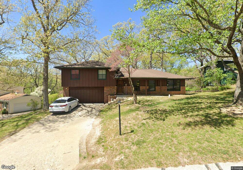
325 Circle Dr Moberly, MO 65270
Estimated Value: $227,392 - $285,000
4
Beds
3
Baths
2,093
Sq Ft
$121/Sq Ft
Est. Value
About This Home
This home is located at 325 Circle Dr, Moberly, MO 65270 and is currently estimated at $253,348, approximately $121 per square foot. 325 Circle Dr is a home located in Randolph County with nearby schools including Moberly Senior High School, St. Pius X. Catholic School, and Maranatha Seventh-day Adventist School.
Ownership History
Date
Name
Owned For
Owner Type
Purchase Details
Closed on
Oct 8, 2021
Sold by
Ellward Francis G Est
Bought by
Fletcher Christopher and Fletcher Rachael
Current Estimated Value
Home Financials for this Owner
Home Financials are based on the most recent Mortgage that was taken out on this home.
Original Mortgage
$160,550
Outstanding Balance
$146,407
Interest Rate
2.8%
Mortgage Type
Purchase Money Mortgage
Estimated Equity
$106,941
Purchase Details
Closed on
Jan 11, 2013
Sold by
Ellward Timothy E and Ellward Frances G
Bought by
Ellward Frances G
Create a Home Valuation Report for This Property
The Home Valuation Report is an in-depth analysis detailing your home's value as well as a comparison with similar homes in the area
Home Values in the Area
Average Home Value in this Area
Purchase History
| Date | Buyer | Sale Price | Title Company |
|---|---|---|---|
| Fletcher Christopher | $169,000 | None Available | |
| Ellward Frances G | -- | -- |
Source: Public Records
Mortgage History
| Date | Status | Borrower | Loan Amount |
|---|---|---|---|
| Open | Fletcher Christopher | $160,550 |
Source: Public Records
Tax History Compared to Growth
Tax History
| Year | Tax Paid | Tax Assessment Tax Assessment Total Assessment is a certain percentage of the fair market value that is determined by local assessors to be the total taxable value of land and additions on the property. | Land | Improvement |
|---|---|---|---|---|
| 2025 | $1,777 | $27,210 | $3,822 | $23,388 |
| 2024 | $18 | $24,400 | $3,325 | $21,075 |
| 2023 | $1,804 | $24,400 | $3,325 | $21,075 |
| 2022 | $1,694 | $23,530 | $3,325 | $20,205 |
| 2021 | $1,690 | $23,530 | $3,325 | $20,205 |
| 2020 | $1,690 | $23,480 | $3,326 | $20,154 |
| 2019 | $1,686 | $23,480 | $3,326 | $20,154 |
| 2018 | $1,681 | $23,480 | $3,326 | $20,154 |
| 2017 | $1,678 | $23,480 | $0 | $0 |
| 2016 | $1,611 | $22,670 | $0 | $0 |
| 2014 | -- | $21,940 | $0 | $0 |
| 2013 | -- | $21,940 | $0 | $0 |
| 2012 | -- | $21,940 | $0 | $0 |
Source: Public Records
Map
Nearby Homes
- 1126 Fisk Ave
- 515 Greenbrier Rd
- 1612 Parkwood Dr
- 953 W Rollins St
- 4 Fair Oaks
- 1126 Franklin St
- 1316 Concannon St
- 1 Stone Ave
- 1541 Myra St
- 816 W Reed St
- 709 Gilman St
- 1123 Concannon St
- 710 W Rollins St
- 632 W Logan St
- 1029 Concannon St
- 1414 Buchanan St
- 1412 Buchanan St
- 800 Homestead Dr
- 1224 &1226 Henry St
- 1309 Buchanan St