Estimated Value: $237,000 - $293,318
--
Bed
2
Baths
1,848
Sq Ft
$146/Sq Ft
Est. Value
About This Home
This home is located at 325 County Road 111, Bono, AR 72416 and is currently estimated at $270,106, approximately $146 per square foot. 325 County Road 111 is a home located in Craighead County with nearby schools including Westside Elementary School, Westside Middle School, and Westside High School.
Ownership History
Date
Name
Owned For
Owner Type
Purchase Details
Closed on
Nov 30, 2006
Sold by
Ragsdale Beady L and Ragsdale Beady L
Bought by
Saffell Reggie and Saffell Timi
Current Estimated Value
Home Financials for this Owner
Home Financials are based on the most recent Mortgage that was taken out on this home.
Original Mortgage
$220,000
Interest Rate
6.3%
Mortgage Type
New Conventional
Purchase Details
Closed on
Jan 8, 1988
Bought by
Ragsdale
Create a Home Valuation Report for This Property
The Home Valuation Report is an in-depth analysis detailing your home's value as well as a comparison with similar homes in the area
Home Values in the Area
Average Home Value in this Area
Purchase History
| Date | Buyer | Sale Price | Title Company |
|---|---|---|---|
| Saffell Reggie | $166,000 | None Available | |
| Ragsdale | $12,000 | -- |
Source: Public Records
Mortgage History
| Date | Status | Borrower | Loan Amount |
|---|---|---|---|
| Closed | Saffell Reggie | $220,000 |
Source: Public Records
Tax History Compared to Growth
Tax History
| Year | Tax Paid | Tax Assessment Tax Assessment Total Assessment is a certain percentage of the fair market value that is determined by local assessors to be the total taxable value of land and additions on the property. | Land | Improvement |
|---|---|---|---|---|
| 2025 | $1,903 | $39,928 | $11,126 | $28,802 |
| 2024 | $1,903 | $39,928 | $11,126 | $28,802 |
| 2023 | $1,102 | $39,928 | $11,126 | $28,802 |
| 2022 | $1,087 | $39,928 | $11,126 | $28,802 |
| 2021 | $1,053 | $30,990 | $7,410 | $23,580 |
| 2020 | $1,025 | $30,990 | $7,410 | $23,580 |
| 2019 | $971 | $30,990 | $7,410 | $23,580 |
| 2018 | $943 | $30,990 | $7,410 | $23,580 |
| 2017 | $843 | $30,990 | $7,410 | $23,580 |
| 2016 | $770 | $24,960 | $4,130 | $20,830 |
| 2015 | $1,086 | $24,960 | $4,130 | $20,830 |
| 2014 | $770 | $24,960 | $4,130 | $20,830 |
Source: Public Records
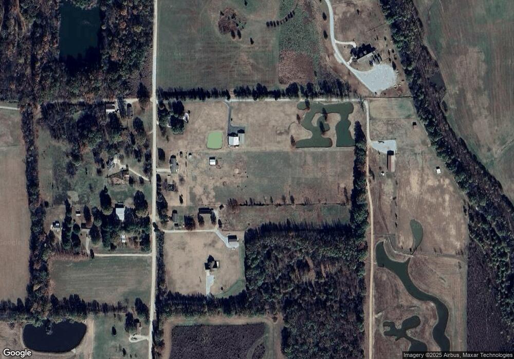
Map
Nearby Homes
- 945 County Road 111
- 1284 County Road 114
- 581 County Road 130
- 67.78 acres Cr 114
- 219 Maurita St
- 20 Acres Parker Rd and I-555
- 97 County Road 130
- 2572 Highway 349
- 3-Acres Damron Dr
- 1 Strawfloor Dr
- 18.62 acres Strawfloor Dr
- 0 Strawfloor Dr
- 14 County Road 346
- 727 Cr 311
- 279 County Road 342
- 1 County Road 342
- 393 County Road 371
- 4008 Sloan Lake Cove
- 2064 Sloan Lake Dr
- 9586 Highway 63 N
- 534 County Road 111
- 387 County Road 111
- 401 County Road 111
- 304 County Road 111
- 275 County Road 111
- 270 County Road 111
- 406 County Road 111
- 499 County Road 111
- 426 County Road 111
- 426 County Road 111
- 278 County Road 111
- 536 County Road 111
- 955 Highway 91 W
- 677 Highway 91 W
- 677 Highway 91 W
- 879 Highway 91 W
- 1087 Highway 91 W
- 1005 Highway 91 W
- 668 County Road 111
- 668 Cr 111