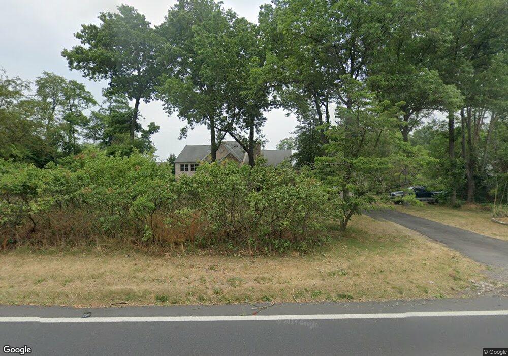
325 Creek Rd Unit RD2 Moorestown, NJ 08057
Estimated Value: $1,246,710 - $1,347,000
--
Bed
--
Bath
4,805
Sq Ft
$271/Sq Ft
Est. Value
About This Home
This home is located at 325 Creek Rd Unit RD2, Moorestown, NJ 08057 and is currently estimated at $1,301,570, approximately $270 per square foot. 325 Creek Rd Unit RD2 is a home located in Burlington County with nearby schools including South Valley Elementary School, Moorestown Upper Elementary School, and William Allen Middle School.
Ownership History
Date
Name
Owned For
Owner Type
Purchase Details
Closed on
Apr 19, 1996
Sold by
Obrien James J and Obrien Rita G
Bought by
Tornberg Kjell G and Tornberg Arline S
Current Estimated Value
Purchase Details
Closed on
Sep 15, 1995
Sold by
Mathers William J and Mathers Susan K
Bought by
Obrien James J and Obrien Rita F
Create a Home Valuation Report for This Property
The Home Valuation Report is an in-depth analysis detailing your home's value as well as a comparison with similar homes in the area
Home Values in the Area
Average Home Value in this Area
Purchase History
| Date | Buyer | Sale Price | Title Company |
|---|---|---|---|
| Tornberg Kjell G | $195,000 | Medford Title Agency Inc | |
| Obrien James J | $213,000 | -- |
Source: Public Records
Tax History Compared to Growth
Tax History
| Year | Tax Paid | Tax Assessment Tax Assessment Total Assessment is a certain percentage of the fair market value that is determined by local assessors to be the total taxable value of land and additions on the property. | Land | Improvement |
|---|---|---|---|---|
| 2025 | $20,946 | $738,300 | $221,900 | $516,400 |
| 2024 | $20,311 | $738,300 | $221,900 | $516,400 |
| 2023 | $20,311 | $738,300 | $221,900 | $516,400 |
| 2022 | $20,104 | $738,300 | $221,900 | $516,400 |
| 2021 | $19,838 | $738,300 | $221,900 | $516,400 |
| 2020 | $19,713 | $738,300 | $221,900 | $516,400 |
| 2019 | $19,366 | $738,300 | $221,900 | $516,400 |
| 2018 | $18,841 | $738,300 | $221,900 | $516,400 |
| 2017 | $19,004 | $738,300 | $221,900 | $516,400 |
| 2016 | $18,937 | $738,300 | $221,900 | $516,400 |
| 2015 | $18,709 | $738,300 | $221,900 | $516,400 |
| 2014 | $17,764 | $738,300 | $221,900 | $516,400 |
Source: Public Records
Map
Nearby Homes
- 42 Landing Ct
- 12 Cove Rd
- 14 Baltusrol Terrace
- 127 Oakmont Dr
- 8 Catalpa Ln
- 79 Tiffany Ln
- 101 Tiffany Ln
- 29 Starboard Way
- 39 Twilight Ln
- 901 Mcelwee Rd
- 10 Tucker Ct
- 2 Twig Ln
- 16 Terrell Ln
- 195 Tiffany Ln
- 90 Torrington Ln
- 248 Club House Dr
- 861 Centerton Rd
- 10 Crows Nest Ct
- 16 Trebing Ln
- 40 Crestview Dr
- 315 Creek Rd Unit RD2
- 330 Creek Rd Unit RD2
- 320 Creek Rd Unit RD2
- 3 Miller Ct
- 5 Miller Ct
- 340 Creek Rd Unit RD2
- 1 Miller Ct
- 310 Creek Rd Unit RD2
- 7 Miller Ct
- 9 Miller Ct
- 350 Creek Rd Unit RD2
- 309 Creek Rd Unit RD2
- 301 Creek Rd Unit RD2
- 56 Cove Rd
- 970 Bortons Landing Rd
- 970 Borton Landing Rd
- 54 Cove Rd
- 960 Bortons Landing Rd
- 50 Cove Rd
- 960 Borton Landing Rd