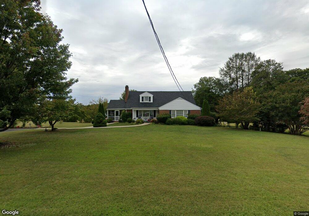
325 E Monitor Rd Amherst, VA 24521
Estimated Value: $384,000 - $530,000
3
Beds
3
Baths
2,350
Sq Ft
$186/Sq Ft
Est. Value
About This Home
This home is located at 325 E Monitor Rd, Amherst, VA 24521 and is currently estimated at $437,526, approximately $186 per square foot. 325 E Monitor Rd is a home located in Amherst County with nearby schools including Amherst Elementary School, Amherst Middle School, and Amherst County High School.
Ownership History
Date
Name
Owned For
Owner Type
Purchase Details
Closed on
Oct 25, 2010
Sold by
Massie Elizabeth S
Bought by
Rose George A and Rose Nedra B
Current Estimated Value
Home Financials for this Owner
Home Financials are based on the most recent Mortgage that was taken out on this home.
Original Mortgage
$211,695
Outstanding Balance
$139,887
Interest Rate
4.3%
Mortgage Type
FHA
Estimated Equity
$297,639
Purchase Details
Closed on
Apr 12, 2007
Sold by
Rose George A and Rose Nedra B
Bought by
Massie Elizabeth S
Home Financials for this Owner
Home Financials are based on the most recent Mortgage that was taken out on this home.
Original Mortgage
$43,600
Interest Rate
7.87%
Mortgage Type
New Conventional
Create a Home Valuation Report for This Property
The Home Valuation Report is an in-depth analysis detailing your home's value as well as a comparison with similar homes in the area
Home Values in the Area
Average Home Value in this Area
Purchase History
| Date | Buyer | Sale Price | Title Company |
|---|---|---|---|
| Rose George A | $227,500 | None Available | |
| Massie Elizabeth S | -- | None Available |
Source: Public Records
Mortgage History
| Date | Status | Borrower | Loan Amount |
|---|---|---|---|
| Open | Rose George A | $211,695 | |
| Previous Owner | Massie Elizabeth S | $43,600 |
Source: Public Records
Tax History Compared to Growth
Tax History
| Year | Tax Paid | Tax Assessment Tax Assessment Total Assessment is a certain percentage of the fair market value that is determined by local assessors to be the total taxable value of land and additions on the property. | Land | Improvement |
|---|---|---|---|---|
| 2025 | $1,547 | $253,600 | $27,500 | $226,100 |
| 2024 | $1,547 | $253,600 | $27,500 | $226,100 |
| 2023 | $1,547 | $253,600 | $27,500 | $226,100 |
| 2022 | $1,547 | $253,600 | $27,500 | $226,100 |
| 2021 | $1,547 | $253,600 | $27,500 | $226,100 |
| 2020 | $1,547 | $253,600 | $27,500 | $226,100 |
| 2019 | $1,362 | $223,300 | $33,500 | $189,800 |
| 2018 | $1,362 | $223,300 | $33,500 | $189,800 |
| 2017 | $1,283 | $223,300 | $33,500 | $189,800 |
| 2016 | $1,362 | $223,300 | $33,500 | $189,800 |
| 2015 | $1,250 | $223,300 | $33,500 | $189,800 |
| 2014 | $1,250 | $223,300 | $33,500 | $189,800 |
Source: Public Records
Map
Nearby Homes
- 0 Huff Creek Trail
- 243 Huff Creek Trail
- 0.50ac Lexington Turnpike
- 120 N Main St
- 176 N Main St
- 260 N Main St
- 224 Sunset Dr
- 206 Glenway Dr
- 699 Winton Rd
- 85 Montfair Dr
- 188 Dulwich Dr
- 1192 N Amherst Hwy
- Lot 6 Fox Hall Dr
- 157-(Lot 8) Fox Hall Dr
- 0 Fox Hall Dr
- 365 Fox Hall Dr
- 1024 Sunset Dr
- 929 Poor House Farm Rd
- 0 Turkey Mountain Rd
- 304 E Monitor Rd
- 351 E Monitor Rd
- 313 E Monitor Rd
- 305 E Monitor Rd
- 299 E Monitor Rd
- 385 E Monitor Rd
- 612 Lexington Turnpike
- 618 Lexington Turnpike
- 0 E Monitor Rd
- 9999 E Monitor Rd
- 628 Lexington Turnpike
- 390 Lexington Turnpike
- 423 E Monitor Rd
- 234 E Monitor Rd
- 306 E Monitor Rd
- 428 E Monitor Rd
- 119 Christian Springs Rd
- 195 Huff Creek Trail
- 135 Christian Springs Rd
- 206 E Monitor Rd