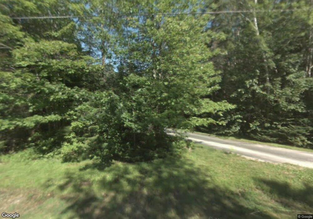
325 East Ave Sault Sainte Marie, MI 49783
Estimated Value: $210,718 - $322,000
3
Beds
2
Baths
1,787
Sq Ft
$148/Sq Ft
Est. Value
About This Home
This home is located at 325 East Ave, Sault Sainte Marie, MI 49783 and is currently estimated at $265,180, approximately $148 per square foot. 325 East Ave is a home located in Chippewa County with nearby schools including Washington Elementary School, Sault Area Middle School, and Sault Area High School.
Ownership History
Date
Name
Owned For
Owner Type
Purchase Details
Closed on
Mar 19, 2021
Sold by
Steve Papineau
Bought by
Strange Philip T
Current Estimated Value
Create a Home Valuation Report for This Property
The Home Valuation Report is an in-depth analysis detailing your home's value as well as a comparison with similar homes in the area
Home Values in the Area
Average Home Value in this Area
Purchase History
| Date | Buyer | Sale Price | Title Company |
|---|---|---|---|
| Strange Philip T | $110,000 | -- |
Source: Public Records
Tax History Compared to Growth
Tax History
| Year | Tax Paid | Tax Assessment Tax Assessment Total Assessment is a certain percentage of the fair market value that is determined by local assessors to be the total taxable value of land and additions on the property. | Land | Improvement |
|---|---|---|---|---|
| 2025 | $5,408 | $89,000 | $0 | $0 |
| 2024 | $3,244 | $87,800 | $0 | $0 |
| 2023 | $4,525 | $115,200 | $0 | $0 |
| 2022 | $4,525 | $101,300 | $0 | $0 |
| 2021 | $3,370 | $91,700 | $0 | $0 |
| 2020 | $4,677 | $81,500 | $0 | $0 |
| 2019 | $4,587 | $73,900 | $0 | $0 |
| 2018 | $4,598 | $75,100 | $0 | $0 |
| 2017 | $3,397 | $80,500 | $0 | $0 |
| 2016 | $3,358 | $79,400 | $0 | $0 |
| 2011 | $2,502 | $78,000 | $0 | $0 |
Source: Public Records
Map
Nearby Homes
- 3105 Sherman Park Dr
- 3220 Sherman Park Dr
- 00 W 16th Ave
- 3325 Lakeshore Dr
- 3349 Lakeshore Dr
- 3344 Lakeshore Dr
- 3468 Lakeshore Dr Unit 3468
- 3468 Lakeshore Dr
- 2245 W 5th Ave
- 3580 Bermuda Ave
- 0000 W 11th Ave
- 0000 W 11th Ave
- 3715 Bermuda Ave
- 1811 Chestnut St
- 1427 W 14th St
- 2550 W 14th St
- 1605 S Mulligan Row
- 1605 S Mulligan Row Unit 1605
- 3601 S Radar Rd
- 333 East Ave
- 337 East Ave
- 324 East Ave
- 320 East Ave
- 328 East Ave
- 332 East Ave
- 341 East Ave
- 3201 Sherman Park Dr
- 305 East Ave
- 3205 Sherman Park Dr
- 3207 Sherman Park Dr
- 344 East Ave
- 3209 Sherman Park Dr
- 309 Central Ave
- 3219 Sherman Park Dr
- 3219 Sherman Park Dr
- 3219 Sherman Park Dr Unit 3219
- 321 Central Ave
- 305 Central Ave
- 0000 Central Ave
