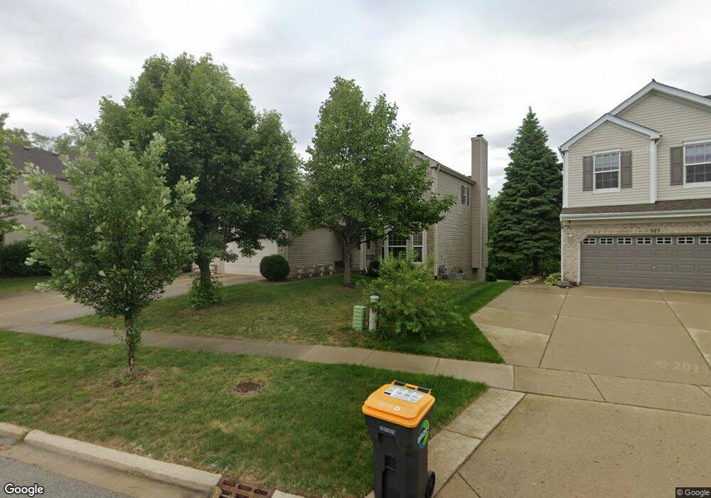
325 Emerald Dr Streamwood, IL 60107
Estimated Value: $547,236 - $625,000
4
Beds
4
Baths
2,512
Sq Ft
$230/Sq Ft
Est. Value
About This Home
This home is located at 325 Emerald Dr, Streamwood, IL 60107 and is currently estimated at $577,809, approximately $230 per square foot. 325 Emerald Dr is a home located in Cook County with nearby schools including Hanover Countryside Elementary School, Canton Middle School, and Streamwood High School.
Ownership History
Date
Name
Owned For
Owner Type
Purchase Details
Closed on
Nov 20, 2025
Sold by
Bautista Dulce M and Bautista Ryan R
Bought by
Bautista Ryan R and Conway Martha Arlene
Current Estimated Value
Home Financials for this Owner
Home Financials are based on the most recent Mortgage that was taken out on this home.
Original Mortgage
$317,000
Outstanding Balance
$316,747
Interest Rate
7.13%
Mortgage Type
New Conventional
Estimated Equity
$261,062
Purchase Details
Closed on
Sep 22, 2004
Sold by
Suncrest Llc
Bought by
Bautista Ryan R and Bautista Dulce M
Home Financials for this Owner
Home Financials are based on the most recent Mortgage that was taken out on this home.
Original Mortgage
$333,700
Interest Rate
5.89%
Mortgage Type
Unknown
Create a Home Valuation Report for This Property
The Home Valuation Report is an in-depth analysis detailing your home's value as well as a comparison with similar homes in the area
Home Values in the Area
Average Home Value in this Area
Purchase History
| Date | Buyer | Sale Price | Title Company |
|---|---|---|---|
| Bautista Ryan R | -- | Vylla Title | |
| Bautista Ryan R | $445,500 | First American Title Ins Co |
Source: Public Records
Mortgage History
| Date | Status | Borrower | Loan Amount |
|---|---|---|---|
| Open | Bautista Ryan R | $317,000 | |
| Previous Owner | Bautista Ryan R | $333,700 | |
| Closed | Bautista Ryan R | $40,000 |
Source: Public Records
Tax History
| Year | Tax Paid | Tax Assessment Tax Assessment Total Assessment is a certain percentage of the fair market value that is determined by local assessors to be the total taxable value of land and additions on the property. | Land | Improvement |
|---|---|---|---|---|
| 2025 | $11,355 | $53,000 | $8,997 | $44,003 |
| 2024 | $11,355 | $40,001 | $8,435 | $31,566 |
| 2023 | $11,023 | $40,001 | $8,435 | $31,566 |
| 2022 | $11,023 | $40,001 | $8,435 | $31,566 |
| 2021 | $9,464 | $29,167 | $6,466 | $22,701 |
| 2020 | $9,385 | $29,167 | $6,466 | $22,701 |
| 2019 | $9,277 | $32,408 | $6,466 | $25,942 |
| 2018 | $10,149 | $32,204 | $5,623 | $26,581 |
| 2017 | $10,030 | $32,204 | $5,623 | $26,581 |
| 2016 | $9,637 | $32,204 | $5,623 | $26,581 |
| 2015 | $9,733 | $30,022 | $5,060 | $24,962 |
| 2014 | $9,605 | $30,022 | $5,060 | $24,962 |
| 2013 | $9,286 | $30,022 | $5,060 | $24,962 |
Source: Public Records
Map
Nearby Homes
- 7 Crescent Ct
- 601 Ridgewood Rd
- 117 Marryat Place
- 613 Tanglewood Dr
- 12 Truman Ct Unit B
- 605 Tanglewood Dr
- 43 Augusta Dr
- 629 W Streamwood Blvd Unit B
- 745 W Streamwood Blvd Unit B
- 26 Blue Stem Ct Unit 32
- 40 Jackson Ln
- 62 Washington Ave
- 122 Brittany Dr Unit 16C2
- 500 Ascot Ln
- 305 S Bartlett Rd
- 1291 Foxglove Dr
- 1370 Foxglove Dr
- 1289 Foxglove Dr
- 1293 Foxglove Dr
- 1287 Foxglove Dr
Your Personal Tour Guide
Ask me questions while you tour the home.