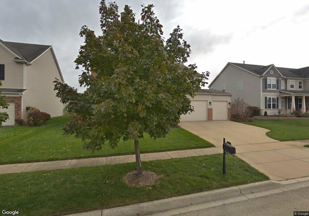
325 Forest Trail South Elgin, IL 60177
Thornwood NeighborhoodEstimated Value: $531,525 - $670,000
4
Beds
3
Baths
2,675
Sq Ft
$217/Sq Ft
Est. Value
About This Home
This home is located at 325 Forest Trail, South Elgin, IL 60177 and is currently estimated at $580,631, approximately $217 per square foot. 325 Forest Trail is a home located in Kane County with nearby schools including Corron Elementary School, Wredling Middle School, and St Charles North High School.
Ownership History
Date
Name
Owned For
Owner Type
Purchase Details
Closed on
Aug 15, 2003
Sold by
Neumann Homes Inc
Bought by
Pacholski Daniel J and Pacholski Susan M
Current Estimated Value
Home Financials for this Owner
Home Financials are based on the most recent Mortgage that was taken out on this home.
Original Mortgage
$120,000
Interest Rate
6.04%
Mortgage Type
Purchase Money Mortgage
Create a Home Valuation Report for This Property
The Home Valuation Report is an in-depth analysis detailing your home's value as well as a comparison with similar homes in the area
Home Values in the Area
Average Home Value in this Area
Purchase History
| Date | Buyer | Sale Price | Title Company |
|---|---|---|---|
| Pacholski Daniel J | $345,000 | Chicago Title Insurance Comp |
Source: Public Records
Mortgage History
| Date | Status | Borrower | Loan Amount |
|---|---|---|---|
| Previous Owner | Pacholski Daniel J | $120,000 |
Source: Public Records
Tax History
| Year | Tax Paid | Tax Assessment Tax Assessment Total Assessment is a certain percentage of the fair market value that is determined by local assessors to be the total taxable value of land and additions on the property. | Land | Improvement |
|---|---|---|---|---|
| 2024 | $9,941 | $146,406 | $44,683 | $101,723 |
| 2023 | $9,481 | $132,267 | $40,368 | $91,899 |
| 2022 | $9,471 | $120,605 | $36,809 | $83,796 |
| 2021 | $8,915 | $112,757 | $34,414 | $78,343 |
| 2020 | $8,640 | $107,643 | $32,853 | $74,790 |
| 2019 | $8,240 | $102,537 | $31,295 | $71,242 |
| 2018 | $9,085 | $111,735 | $29,482 | $82,253 |
| 2017 | $8,468 | $105,630 | $27,871 | $77,759 |
| 2016 | $8,505 | $97,996 | $25,857 | $72,139 |
| 2015 | -- | $89,822 | $23,700 | $66,122 |
| 2014 | -- | $88,713 | $23,407 | $65,306 |
| 2013 | -- | $84,483 | $24,024 | $60,459 |
Source: Public Records
Map
Nearby Homes
- 1550 Marlo Ln
- 1548 Marlo Ln
- 345 Thornwood Way Unit D
- 315 Thornwood Way Unit B
- 245 Nicole Dr Unit B
- 209 Nicole Dr Unit B
- 2487 Amber Ln
- 1675 Rosehall Ln
- 2466 Amber Ln
- 1475 Misthaven Ln
- 1251 Lansbrook Dr
- 8N465 Shady Ln
- 1635 Rosehall Ln Unit 2
- 704 Lake Ridge Dr
- 3547 Doral Dr
- 1818 Chandolin Ct
- 2491 Stony Ln
- 7 Lydia Ct
- 102 Pinehill St
- 1506 Kinwood Rd
- 315 Forest Trail
- 340 Robin Glen Ln
- 350 Robin Glen Ln
- 330 Robin Glen Ln
- 305 Forest Trail
- 345 Forest Trail
- 320 Robin Glen Ln
- 360 Robin Glen Ln
- 2055 Holt Ln
- 2047 Holt Ln
- 310 Robin Glen Ln
- 355 Forest Trail
- 370 Robin Glen Ln
- 2063 Holt Ln
- 2039 Holt Ln
- 339 Robin Glen Ln
- 339 Robin Glen Ln Unit 339
- 325 Robin Glen Ln
- 2071 Holt Ln
- 341 Robin Glen Ln
Your Personal Tour Guide
Ask me questions while you tour the home.