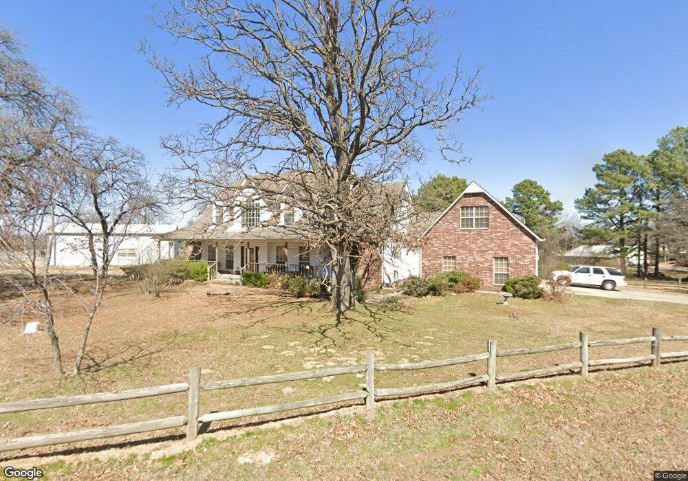
325 Franklin Rd Sapulpa, OK 74066
Estimated Value: $471,101 - $500,000
4
Beds
3
Baths
3,210
Sq Ft
$152/Sq Ft
Est. Value
About This Home
This home is located at 325 Franklin Rd, Sapulpa, OK 74066 and is currently estimated at $487,025, approximately $151 per square foot. 325 Franklin Rd is a home located in Creek County with nearby schools including Allen-Bowden Public School and Eagle Point Christian Academy.
Ownership History
Date
Name
Owned For
Owner Type
Purchase Details
Closed on
Aug 14, 2008
Sold by
Geis Gary and Geis Joanne
Bought by
Griffin Hollis and Griffin Tanna
Current Estimated Value
Home Financials for this Owner
Home Financials are based on the most recent Mortgage that was taken out on this home.
Original Mortgage
$275,115
Outstanding Balance
$180,607
Interest Rate
6.42%
Mortgage Type
FHA
Estimated Equity
$306,418
Purchase Details
Closed on
Dec 11, 2006
Sold by
Geis Gary and Geis Joanne
Bought by
Geis Gary and Geis Joanne
Create a Home Valuation Report for This Property
The Home Valuation Report is an in-depth analysis detailing your home's value as well as a comparison with similar homes in the area
Home Values in the Area
Average Home Value in this Area
Purchase History
| Date | Buyer | Sale Price | Title Company |
|---|---|---|---|
| Griffin Hollis | $290,000 | None Available | |
| Geis Gary | -- | None Available |
Source: Public Records
Mortgage History
| Date | Status | Borrower | Loan Amount |
|---|---|---|---|
| Open | Griffin Hollis | $275,115 |
Source: Public Records
Tax History Compared to Growth
Tax History
| Year | Tax Paid | Tax Assessment Tax Assessment Total Assessment is a certain percentage of the fair market value that is determined by local assessors to be the total taxable value of land and additions on the property. | Land | Improvement |
|---|---|---|---|---|
| 2025 | $3,755 | $40,027 | $2,400 | $37,627 |
| 2024 | $3,755 | $38,861 | $2,400 | $36,461 |
| 2023 | $3,755 | $37,729 | $2,400 | $35,329 |
| 2022 | $3,519 | $36,630 | $2,400 | $34,230 |
| 2021 | $3,475 | $35,564 | $2,400 | $33,164 |
| 2020 | $3,411 | $35,807 | $2,400 | $33,407 |
| 2019 | $3,358 | $35,807 | $2,400 | $33,407 |
| 2018 | $3,320 | $34,764 | $2,400 | $32,364 |
| 2017 | $3,309 | $34,764 | $2,400 | $32,364 |
| 2016 | $3,406 | $34,764 | $2,400 | $32,364 |
| 2015 | -- | $34,764 | $2,400 | $32,364 |
| 2014 | -- | $34,764 | $2,400 | $32,364 |
Source: Public Records
Map
Nearby Homes
- 0 Tracie Ln
- 114 Sherlyn Ln
- 0 S 113th West Ave
- 8 E Carriage Rd
- 12466 W 91st Place S
- 6 E Carriage Rd
- 1124 N 9th St
- 912 N Linden St
- 10541 Sahoma Lake Rd
- 31 S 241st West Ave
- 720 N Main St
- 716 N 10th St
- 115 W Anderson St
- 930 N Brown St
- 0 N Johannes St Unit 2546940
- 0 N 13th St
- 11205 W Tiger Ln
- 1137 E Watchorn Ave
- 9201 Freedom Ave
- 0 Line Ave Unit 2546053
- 318 Rodgers Rd
- 320 Franklin Rd
- 302 Rodgers Rd
- 305 Franklin Rd
- 9802 Rogers Rd
- 310 Franklin Rd
- 323 Rodgers Rd
- 8930 S 113th West Ave
- 9023 S 113th West Ave
- 9023 S 113th Ave W
- 8948 S 113th West Ave
- 234 Rodgers Rd
- 301 Rodgers Rd
- 236 Franklin Rd
- 9044 S 111th West Ave
- 223 Franklin Rd
- 216 Rodgers Rd
- 0 S 113th Ave Unit 1731502
- 0 S 113th Ave Unit 1837593
- 0 S 113th Ave Unit 2031621