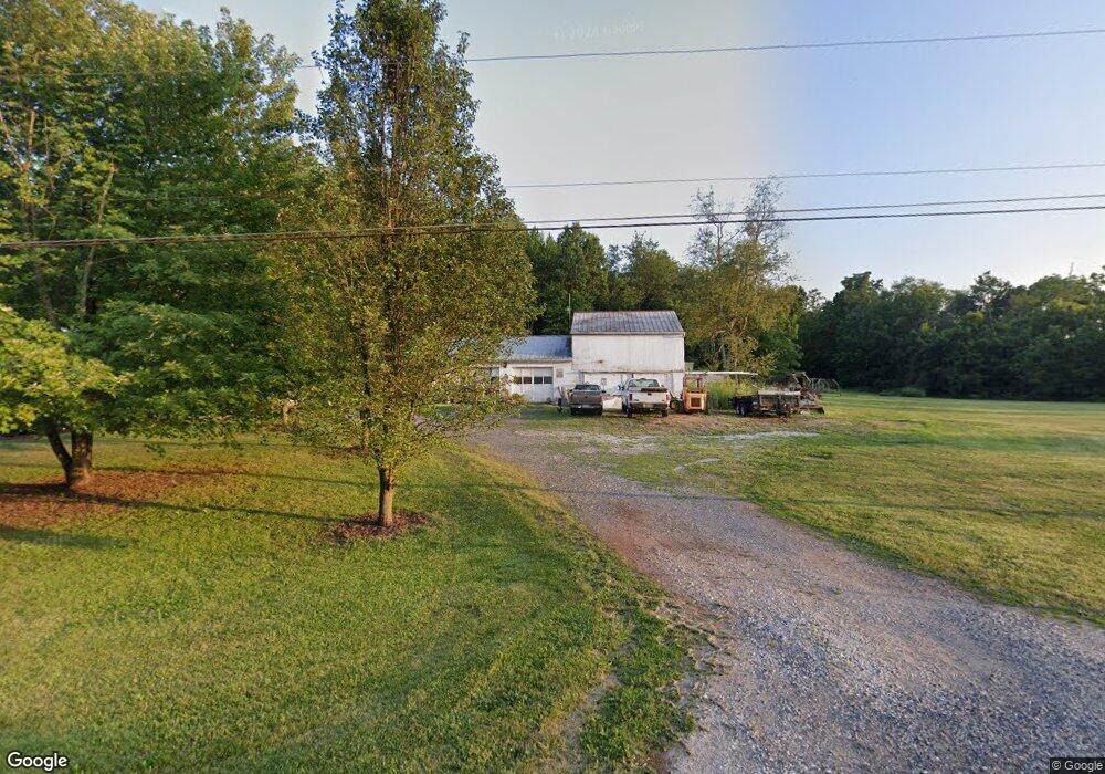
325 Georgetown Rd Littlestown, PA 17340
Estimated Value: $346,000 - $435,505
3
Beds
1
Bath
2,024
Sq Ft
$196/Sq Ft
Est. Value
About This Home
This home is located at 325 Georgetown Rd, Littlestown, PA 17340 and is currently estimated at $396,626, approximately $195 per square foot. 325 Georgetown Rd is a home located in Adams County with nearby schools including Rolling Acres El School, Maple Avenue Middle School, and Littlestown Senior High School.
Ownership History
Date
Name
Owned For
Owner Type
Purchase Details
Closed on
Jul 6, 2006
Sold by
Angell Debra L and Angell Steven E
Bought by
Hall Pamela
Current Estimated Value
Home Financials for this Owner
Home Financials are based on the most recent Mortgage that was taken out on this home.
Original Mortgage
$57,000
Interest Rate
6.27%
Mortgage Type
Stand Alone Second
Create a Home Valuation Report for This Property
The Home Valuation Report is an in-depth analysis detailing your home's value as well as a comparison with similar homes in the area
Home Values in the Area
Average Home Value in this Area
Purchase History
| Date | Buyer | Sale Price | Title Company |
|---|---|---|---|
| Hall Pamela | $285,000 | -- |
Source: Public Records
Mortgage History
| Date | Status | Borrower | Loan Amount |
|---|---|---|---|
| Closed | Hall Pamela | $57,000 | |
| Open | Hall Pamela | $228,000 |
Source: Public Records
Tax History Compared to Growth
Tax History
| Year | Tax Paid | Tax Assessment Tax Assessment Total Assessment is a certain percentage of the fair market value that is determined by local assessors to be the total taxable value of land and additions on the property. | Land | Improvement |
|---|---|---|---|---|
| 2025 | $2,035 | $107,500 | $52,200 | $55,300 |
| 2024 | $1,956 | $107,500 | $52,200 | $55,300 |
| 2023 | $4,239 | $107,500 | $52,200 | $55,300 |
| 2022 | $4,208 | $107,500 | $52,200 | $55,300 |
| 2021 | $4,058 | $107,500 | $52,200 | $55,300 |
| 2020 | $3,999 | $107,500 | $52,200 | $55,300 |
| 2019 | $3,914 | $107,500 | $52,200 | $55,300 |
| 2018 | $3,797 | $107,500 | $52,200 | $55,300 |
| 2017 | $1,655 | $107,500 | $52,200 | $55,300 |
| 2016 | -- | $107,500 | $52,200 | $55,300 |
| 2015 | -- | $107,300 | $52,000 | $55,300 |
| 2014 | -- | $107,300 | $52,000 | $55,300 |
Source: Public Records
Map
Nearby Homes
- 2238 Harney Rd Unit 3
- 2226 Harney Rd Unit 2
- 15 Yorktowne Ct Unit 97
- 1024 Frederick Pike Unit 6
- 22 Rita Marie Ave
- 161 Cemetery St
- 141 W King St
- 0 Hershey Rd Unit PALA2058618
- 0 Conestoga Blvd Unit PALA2080682
- 117 Charles St
- 161 Stoners Cir
- 22 Cemetery St
- 115 Charles St
- 620 Saint Johns Rd
- 37 Amanda Dr Unit 14
- 6120 Baltimore Pike
- 2199 Blacks School House Rd
- 52 N Gala Unit 394
- 61 Stoners Cir
- 21 Johnamac N Unit 384
- 385 Georgetown Rd
- 295 Georgetown Rd
- 324 Georgetown Rd
- 286 Georgetown Rd Unit 1
- 300 Georgetown Rd
- 276 Georgetown Rd
- 275 Georgetown Rd
- 264 Georgetown Rd
- 390 Georgetown Rd
- 241 Georgetown Rd
- 259 Georgetown Rd
- 251 Georgetown Rd
- 246 Georgetown Rd
- 245 Georgetown Rd Unit C
- 245 Georgetown Rd Unit A
- 245 Georgetown Rd
- 245 Georgetown Rd
- 239 Georgetown Rd
- 230 Georgetown Rd
- 328 Georgetown Rd