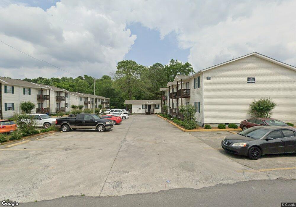
325 Goodwill Dr Dalton, GA 30721
Estimated Value: $493,000
2
Beds
1
Bath
19,512
Sq Ft
$25/Sq Ft
Est. Value
About This Home
This home is located at 325 Goodwill Dr, Dalton, GA 30721 and is currently priced at $493,000, approximately $25 per square foot. 325 Goodwill Dr is a home located in Whitfield County with nearby schools including Roan Elementary School, Dalton High School, and Christian Heritage School.
Ownership History
Date
Name
Owned For
Owner Type
Purchase Details
Closed on
Jan 31, 2020
Sold by
Ftr Llc
Bought by
90 Dalton Llc
Current Estimated Value
Purchase Details
Closed on
Oct 7, 2008
Sold by
Goodwill Properties Inc
Bought by
Branch Banking Co
Purchase Details
Closed on
Nov 3, 2000
Sold by
Gunn Patrick and White Edward
Bought by
Goodwill Properties Inc
Purchase Details
Closed on
Feb 17, 2000
Sold by
Hambright Property Management
Bought by
Gunn Patrick and White Edward
Purchase Details
Closed on
Feb 1, 1999
Bought by
Hambright Property Management
Create a Home Valuation Report for This Property
The Home Valuation Report is an in-depth analysis detailing your home's value as well as a comparison with similar homes in the area
Purchase History
| Date | Buyer | Sale Price | Title Company |
|---|---|---|---|
| 90 Dalton Llc | $1,800,000 | -- | |
| Branch Banking Co | $1,068,717 | -- | |
| Goodwill Properties Inc | -- | -- | |
| Gunn Patrick | $475,000 | -- | |
| Hambright Property Management | $65,000 | -- |
Source: Public Records
Tax History
| Year | Tax Paid | Tax Assessment Tax Assessment Total Assessment is a certain percentage of the fair market value that is determined by local assessors to be the total taxable value of land and additions on the property. | Land | Improvement |
|---|---|---|---|---|
| 2025 | $17,637 | $719,566 | $45,200 | $674,366 |
| 2024 | $17,637 | $719,566 | $45,200 | $674,366 |
| 2023 | $12,907 | $348,090 | $14,713 | $333,377 |
| 2022 | $11,989 | $348,090 | $14,713 | $333,377 |
| 2021 | $12,007 | $348,090 | $14,713 | $333,377 |
| 2020 | $13,793 | $384,962 | $14,713 | $370,249 |
| 2019 | $11,498 | $311,228 | $14,713 | $296,515 |
| 2018 | $11,671 | $311,228 | $14,713 | $296,515 |
| 2017 | $11,234 | $311,228 | $14,713 | $296,515 |
| 2016 | $11,306 | $311,228 | $14,713 | $296,515 |
| 2014 | $11,533 | $349,452 | $14,713 | $334,739 |
| 2013 | -- | $349,452 | $14,712 | $334,739 |
Source: Public Records
Map
Nearby Homes
- 406 Lester Ave
- 1902 Bartenfield Dr
- 306 Robinwood Dr
- 171 Keith St
- 359 Pacer Ln Unit 4
- 143 Staten St
- 108 Van Buren Dr
- 213 Nashville St
- 514 Sheridan Ave
- 1217 Hair St Unit 1
- 1118 Dozier St
- 258 Richardson Dr
- 264 Richardson Dr
- 1104 May St
- 303 Janice St
- 216 Scobie Ave
- 119 Wooten Dr
- 117 Wooten Dr
- 1133 Orman St
- 2905 E Walnut Ave
- 318 Goodwill Dr
- 320 Goodwill Dr
- 336 Keith St
- 314 Goodwill Dr
- 322 Goodwill Dr
- 324 Goodwill Dr
- 335 Keith St
- 306 Goodwill Dr
- 303 Goodwill Dr
- 1801 E Morris St
- 1305 Pinehill Rd
- 201 Goodwill Dr
- 325 Keith St
- 1729 E Morris St
- 1305 Pinehill Rd
- 1303 Pinehill Rd
- 303 Pinehill Rd
- 1219 Goodwill Dr
- 1707 E Morris St
- 1307 Pinehill Rd
Your Personal Tour Guide
Ask me questions while you tour the home.