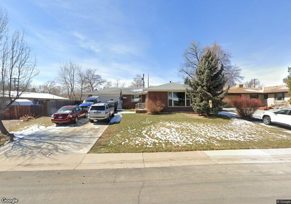
325 Iris St Broomfield, CO 80020
Broomfield Heights NeighborhoodEstimated Value: $520,000 - $586,599
4
Beds
3
Baths
2,520
Sq Ft
$222/Sq Ft
Est. Value
About This Home
This home is located at 325 Iris St, Broomfield, CO 80020 and is currently estimated at $560,650, approximately $222 per square foot. 325 Iris St is a home located in Broomfield County with nearby schools including Broomfield Heights Middle School, Broomfield High School, and Nativity: Faith and Reason.
Ownership History
Date
Name
Owned For
Owner Type
Purchase Details
Closed on
Jul 28, 2017
Sold by
Dunbar Joanne R
Bought by
Hogan Christopher John and Childs Emily Mackall
Current Estimated Value
Home Financials for this Owner
Home Financials are based on the most recent Mortgage that was taken out on this home.
Original Mortgage
$332,000
Outstanding Balance
$276,654
Interest Rate
3.91%
Mortgage Type
New Conventional
Estimated Equity
$283,996
Purchase Details
Closed on
Apr 8, 2011
Sold by
Martinez Michael and Martinez Katherine O
Bought by
Dunbar Joanne R
Home Financials for this Owner
Home Financials are based on the most recent Mortgage that was taken out on this home.
Original Mortgage
$180,000
Interest Rate
4.98%
Mortgage Type
New Conventional
Purchase Details
Closed on
Apr 29, 1999
Purchase Details
Closed on
Jul 29, 1996
Purchase Details
Closed on
May 17, 1984
Create a Home Valuation Report for This Property
The Home Valuation Report is an in-depth analysis detailing your home's value as well as a comparison with similar homes in the area
Home Values in the Area
Average Home Value in this Area
Purchase History
| Date | Buyer | Sale Price | Title Company |
|---|---|---|---|
| Hogan Christopher John | $382,000 | Chicago Title Co | |
| Dunbar Joanne R | $225,000 | Fidelity National Title Insu | |
| -- | $163,900 | -- | |
| -- | $116,500 | -- | |
| -- | $80,000 | -- |
Source: Public Records
Mortgage History
| Date | Status | Borrower | Loan Amount |
|---|---|---|---|
| Open | Hogan Christopher John | $332,000 | |
| Previous Owner | Dunbar Joanne R | $180,000 |
Source: Public Records
Tax History
| Year | Tax Paid | Tax Assessment Tax Assessment Total Assessment is a certain percentage of the fair market value that is determined by local assessors to be the total taxable value of land and additions on the property. | Land | Improvement |
|---|---|---|---|---|
| 2025 | $3,466 | $37,680 | $9,050 | $28,630 |
| 2024 | $3,466 | $36,990 | $8,230 | $28,760 |
| 2023 | $3,459 | $42,180 | $9,380 | $32,800 |
| 2022 | $2,921 | $30,210 | $6,600 | $23,610 |
| 2021 | $2,906 | $31,080 | $6,790 | $24,290 |
| 2020 | $2,720 | $28,910 | $6,080 | $22,830 |
| 2019 | $2,715 | $29,110 | $6,120 | $22,990 |
| 2018 | $2,295 | $24,310 | $4,570 | $19,740 |
| 2017 | $2,260 | $26,880 | $5,050 | $21,830 |
| 2016 | $1,966 | $20,850 | $5,050 | $15,800 |
| 2015 | $1,898 | $16,760 | $5,050 | $11,710 |
| 2014 | $1,560 | $16,760 | $5,050 | $11,710 |
Source: Public Records
Map
Nearby Homes
- 325 Jade St
- 345 Hemlock St
- 265 Laurel St
- 123 Emerald St
- 215 Beryl Way
- 8005 Emerald Ln
- 740 Lotus Way
- 870 Hemlock Way
- 370 Coral St
- 820 Lotus Way
- 250 W Midway Blvd
- 11800 Colmans Way Unit 16
- 1085 Kohl St
- 6801 W 118th Ave
- 1422 Madero St Unit C17
- 1080 Opal St Unit 104
- 1018 Depot Hill Rd
- 1166 Opal St Unit 104
- 1130 Opal St Unit 104
- 1320 Holly Dr E
Your Personal Tour Guide
Ask me questions while you tour the home.