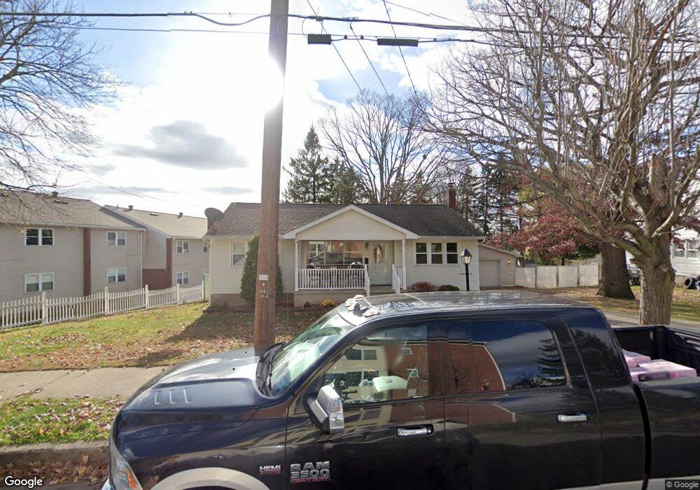
325 Lehigh St Wilkes Barre, PA 18702
Estimated Value: $192,151 - $250,000
--
Bed
--
Bath
1,088
Sq Ft
$206/Sq Ft
Est. Value
About This Home
This home is located at 325 Lehigh St, Wilkes Barre, PA 18702 and is currently estimated at $224,038, approximately $205 per square foot. 325 Lehigh St is a home located in Luzerne County with nearby schools including Dodson Elementary School, G.A.R. Memorial Middle School, and St Nicholas-St Mary's School.
Ownership History
Date
Name
Owned For
Owner Type
Purchase Details
Closed on
Dec 7, 2018
Sold by
Thomas Paul J and Thomas Suzanne E
Bought by
Walker Timothy Eugene and Walker Heather Grace
Current Estimated Value
Purchase Details
Closed on
Oct 27, 2014
Sold by
Thomas Paul and Scavone Suzanne E
Bought by
Thomas Paul J and Thomas Suzanne E
Home Financials for this Owner
Home Financials are based on the most recent Mortgage that was taken out on this home.
Original Mortgage
$65,000
Interest Rate
4.21%
Mortgage Type
New Conventional
Create a Home Valuation Report for This Property
The Home Valuation Report is an in-depth analysis detailing your home's value as well as a comparison with similar homes in the area
Home Values in the Area
Average Home Value in this Area
Purchase History
| Date | Buyer | Sale Price | Title Company |
|---|---|---|---|
| Walker Timothy Eugene | $125,000 | None Available | |
| Thomas Paul J | -- | None Available |
Source: Public Records
Mortgage History
| Date | Status | Borrower | Loan Amount |
|---|---|---|---|
| Previous Owner | Thomas Paul J | $65,000 |
Source: Public Records
Tax History Compared to Growth
Tax History
| Year | Tax Paid | Tax Assessment Tax Assessment Total Assessment is a certain percentage of the fair market value that is determined by local assessors to be the total taxable value of land and additions on the property. | Land | Improvement |
|---|---|---|---|---|
| 2025 | $14,768 | $88,900 | $26,800 | $62,100 |
| 2024 | $14,768 | $88,900 | $26,800 | $62,100 |
| 2023 | $14,768 | $88,900 | $26,800 | $62,100 |
| 2022 | $14,751 | $88,900 | $26,800 | $62,100 |
| 2021 | $14,751 | $88,900 | $26,800 | $62,100 |
| 2020 | $14,751 | $88,900 | $26,800 | $62,100 |
| 2019 | $14,699 | $88,900 | $26,800 | $62,100 |
| 2018 | $14,646 | $88,900 | $26,800 | $62,100 |
| 2017 | $14,594 | $88,900 | $26,800 | $62,100 |
| 2016 | -- | $88,900 | $26,800 | $62,100 |
| 2015 | -- | $88,900 | $26,800 | $62,100 |
| 2014 | -- | $88,900 | $26,800 | $62,100 |
Source: Public Records
Map
Nearby Homes
- 64 Kent Ln
- 371 S Meade St
- 273 S Grant St
- 412 S Grant St
- 162 S Grant St
- 119 S Meade St
- 431 E Northampton St
- 380 E Northampton St
- 16 Hutson St
- 450 E Northampton St
- 92 Hillside St
- 218 Moyallen St
- 51-53 S Welles St
- 7 N Meade St
- 648 E Northampton St
- 59 S Walnut St
- 13 Airy St
- 456 Blackman St
- 501 Blackman St
- 176 Stanton St