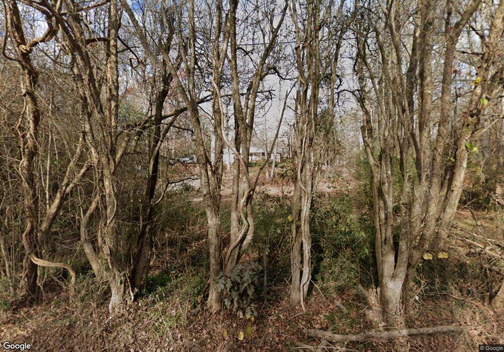
325 Lindsey Rd Unit TR 1 & 2 Griffin, GA 30224
Spalding County NeighborhoodEstimated Value: $134,000 - $226,000
2
Beds
1
Bath
1,400
Sq Ft
$135/Sq Ft
Est. Value
About This Home
This home is located at 325 Lindsey Rd Unit TR 1 & 2, Griffin, GA 30224 and is currently estimated at $189,510, approximately $135 per square foot. 325 Lindsey Rd Unit TR 1 & 2 is a home located in Spalding County with nearby schools including Futral Road Elementary School, Rehoboth Road Middle School, and Spalding High School.
Ownership History
Date
Name
Owned For
Owner Type
Purchase Details
Closed on
Jun 14, 2017
Bought by
Maranto Margaret
Current Estimated Value
Purchase Details
Closed on
Aug 19, 2016
Bought by
Wells Fargo Bank
Purchase Details
Closed on
Jan 5, 2016
Sold by
Case Thomas D
Bought by
Wells Fargo Bank Na
Purchase Details
Closed on
Feb 22, 2006
Sold by
Case Thoams D
Bought by
Case Amanda L
Purchase Details
Closed on
Oct 25, 1988
Sold by
James Hugh H
Bought by
Goen Jimmy and Goen Shirley
Purchase Details
Closed on
Nov 26, 1984
Sold by
James Bertha Edna
Bought by
James Hugh H
Create a Home Valuation Report for This Property
The Home Valuation Report is an in-depth analysis detailing your home's value as well as a comparison with similar homes in the area
Home Values in the Area
Average Home Value in this Area
Purchase History
| Date | Buyer | Sale Price | Title Company |
|---|---|---|---|
| Maranto Margaret | $52,000 | -- | |
| Wells Fargo Bank | -- | -- | |
| Wells Fargo Bank Na | -- | -- | |
| Secretary Of Housing & Urban Development | $73,535 | -- | |
| Case Amanda L | -- | -- | |
| Goen Jimmy | $55,000 | -- | |
| James Hugh H | -- | -- |
Source: Public Records
Tax History Compared to Growth
Tax History
| Year | Tax Paid | Tax Assessment Tax Assessment Total Assessment is a certain percentage of the fair market value that is determined by local assessors to be the total taxable value of land and additions on the property. | Land | Improvement |
|---|---|---|---|---|
| 2024 | $1,667 | $46,547 | $16,502 | $30,045 |
| 2023 | $1,607 | $44,190 | $16,502 | $27,688 |
| 2022 | $1,360 | $37,410 | $12,377 | $25,033 |
| 2021 | $1,240 | $34,110 | $12,377 | $21,733 |
| 2020 | $1,245 | $34,110 | $12,377 | $21,733 |
| 2019 | $1,423 | $39,835 | $16,502 | $23,333 |
| 2018 | $795 | $38,024 | $16,502 | $21,522 |
| 2017 | $1,424 | $38,319 | $16,502 | $21,817 |
Source: Public Records
Map
Nearby Homes
- 287 Mangham Rd
- 309 Mangham Rd
- 2613 Rehoboth Rd
- 220 Eve Cir
- 108 Timber Ridge Dr
- 121 Pinedale Cir
- 104 Willow Creek Dr
- 122 Barnesville Rd
- 121 Sheldon Point
- 3005 Sarah Ln
- 3806 High Falls Rd
- 3002 Sarah Ln
- 320 Buck Creek Rd
- 4305 High Falls Rd
- 3020 Sarah Ln
- 3028 Sarah Ln
- 3128 High Falls Rd
- 205 Hope Dr
- 3045 Sarah Ln
- 4771 High Falls Rd
- 325 Lindsey Rd
- 245 Lindsey Rd
- 285 Mangham Rd
- 220 Mangham Rd
- 250 Lindsey Rd
- 290 Mangham Rd
- 289 Mangham Rd
- 333 Lindsey Rd
- 341 Lindsey Rd
- 0 Lindsey Rd Unit 8471074
- 0 Lindsey Rd Unit 8892844
- 0 Lindsey Rd Unit 7107562
- 0 Lindsey Rd Unit 7612080
- 332 Lindsey Rd
- 401 Lindsey Rd
- 403 Lindsey Rd
- 180 Mangham Rd
- 155 Mangham Rd
- 450 Mangham Rd
- 166 Mangham Rd
