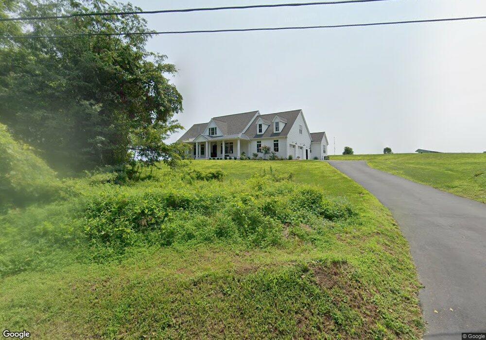
325 Locust Grove Rd West Chester, PA 19382
Estimated Value: $666,000 - $1,347,118
3
Beds
2
Baths
3,469
Sq Ft
$277/Sq Ft
Est. Value
About This Home
This home is located at 325 Locust Grove Rd, West Chester, PA 19382 and is currently estimated at $962,039, approximately $277 per square foot. 325 Locust Grove Rd is a home with nearby schools including Pocopson Elementary School, Charles F. Patton Middle School, and Unionville High School.
Ownership History
Date
Name
Owned For
Owner Type
Purchase Details
Closed on
Nov 8, 2017
Sold by
Ferbrook Partnership
Bought by
Herker William and Herker Sharon
Current Estimated Value
Purchase Details
Closed on
May 13, 1996
Sold by
Fernbrook Partnership
Bought by
Penny Alexander David and Mattoscio Patricia R
Purchase Details
Closed on
Feb 1, 1992
Bought by
Fernbrook Partnership
Create a Home Valuation Report for This Property
The Home Valuation Report is an in-depth analysis detailing your home's value as well as a comparison with similar homes in the area
Home Values in the Area
Average Home Value in this Area
Purchase History
| Date | Buyer | Sale Price | Title Company |
|---|---|---|---|
| Herker William | $325,000 | -- | |
| Penny Alexander David | $125,000 | -- | |
| Fernbrook Partnership | -- | -- |
Source: Public Records
Tax History Compared to Growth
Tax History
| Year | Tax Paid | Tax Assessment Tax Assessment Total Assessment is a certain percentage of the fair market value that is determined by local assessors to be the total taxable value of land and additions on the property. | Land | Improvement |
|---|---|---|---|---|
| 2025 | $11,990 | $413,150 | $113,950 | $299,200 |
| 2024 | $11,990 | $413,150 | $113,950 | $299,200 |
| 2023 | $11,612 | $413,150 | $113,950 | $299,200 |
| 2022 | $11,374 | $413,150 | $113,950 | $299,200 |
| 2021 | $514 | $117,670 | $113,950 | $3,720 |
| 2020 | $512 | $117,670 | $113,950 | $3,720 |
| 2019 | $503 | $117,670 | $113,950 | $3,720 |
| 2018 | $502 | $117,670 | $113,950 | $3,720 |
| 2017 | $491 | $117,670 | $113,950 | $3,720 |
| 2016 | $57 | $117,670 | $113,950 | $3,720 |
| 2015 | $57 | $117,670 | $113,950 | $3,720 |
| 2014 | $57 | $117,670 | $113,950 | $3,720 |
Source: Public Records
Map
Nearby Homes
- 586 Corrine Rd
- 1559 Washington Ln
- 1501 Washington Ln
- 1758 Lenni Dr
- 1314 Bridge Rd
- 666 E Lafayette Dr
- 186 Bragg Hill Rd
- 1740 Lenape Rd
- 700 Patrick Henry Cir
- 10 Trimbles Ford Ln
- 275 S Creek Rd
- 1342 Carolannes Way
- 1435 Lenape Rd
- 734 Denton Hollow Rd
- 1339 Carolannes Way Unit NT
- 1339 Carolannes Way Unit B6
- 1339 Carolannes Way Unit B1
- 1339 Carolannes Way Unit B4
- 1339 Carolannes Way Unit B3
- 7 Bittersweet Dr
- 340 Locust Grove Rd
- 330 Locust Grove Rd
- 430 Locust Grove Rd
- 350 S Wawaset Rd
- 490 S Wawaset Rd
- 510 S Wawaset Rd
- 0 Wawaset Farm Ln Unit 7089373
- 465 Locust Grove Rd
- 460 Locust Grove Rd
- Wawaset Farm Ln
- Wawaset Farm Ln
- 0 S Wawaset Rd
- 499 S Wawaset Rd
- 150 Hickory Hill Rd
- 462 Locust Grove Rd
- 468 Locust Grove Rd
- 157 Hickory Hill Rd
- 472 Locust Grove Rd
- Wawaset Farm Ln
- Wawaset Farm Ln