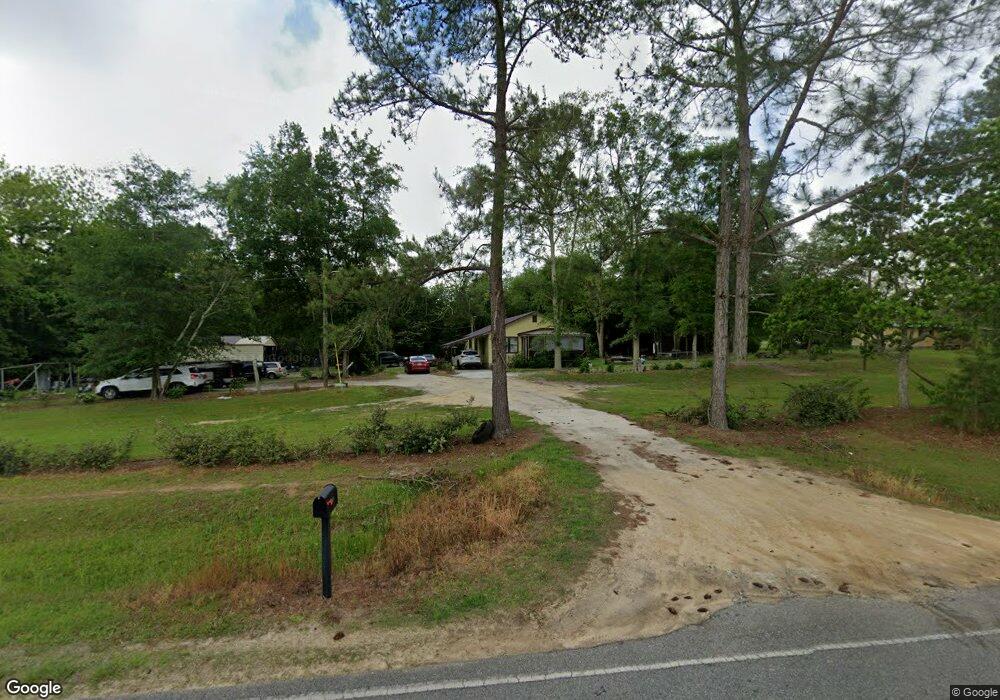
325 Millpond Rd Moultrie, GA 31768
Estimated Value: $87,259 - $106,000
Studio
1
Bath
1,160
Sq Ft
$87/Sq Ft
Est. Value
About This Home
This home is located at 325 Millpond Rd, Moultrie, GA 31768 and is currently estimated at $100,565, approximately $86 per square foot. 325 Millpond Rd is a home located in Colquitt County with nearby schools including Funston Elementary School, C.A. Gray Junior High School, and Willie J. Williams Middle School.
Ownership History
Date
Name
Owned For
Owner Type
Purchase Details
Closed on
Jun 18, 2018
Sold by
Jones Barbara B
Bought by
Sanchez Francisco Erisel Sanchez and Sanchez Amparo De Los Angeles
Current Estimated Value
Home Financials for this Owner
Home Financials are based on the most recent Mortgage that was taken out on this home.
Original Mortgage
$36,871
Outstanding Balance
$31,691
Interest Rate
4.6%
Mortgage Type
New Conventional
Estimated Equity
$68,874
Purchase Details
Closed on
Mar 21, 2013
Sold by
O'Neal Margaret
Bought by
Margaret G O'Neal Living Trust
Purchase Details
Closed on
Aug 16, 1996
Bought by
O'Neal Margaret
Create a Home Valuation Report for This Property
The Home Valuation Report is an in-depth analysis detailing your home's value as well as a comparison with similar homes in the area
Purchase History
| Date | Buyer | Sale Price | Title Company |
|---|---|---|---|
| Sanchez Francisco Erisel Sanchez | $36,500 | -- | |
| Jones Barbara B | $36,500 | -- | |
| Margaret G O'Neal Living Trust | -- | -- | |
| O'Neal Margaret | $27,200 | -- |
Source: Public Records
Mortgage History
| Date | Status | Borrower | Loan Amount |
|---|---|---|---|
| Open | Jones Barbara B | $36,871 | |
| Closed | Sanchez Francisco Erisel Sanchez | $36,871 |
Source: Public Records
Tax History
| Year | Tax Paid | Tax Assessment Tax Assessment Total Assessment is a certain percentage of the fair market value that is determined by local assessors to be the total taxable value of land and additions on the property. | Land | Improvement |
|---|---|---|---|---|
| 2025 | $495 | $24,903 | $4,872 | $20,031 |
| 2024 | $495 | $22,792 | $3,654 | $19,138 |
| 2023 | $481 | $15,712 | $3,654 | $12,058 |
| 2022 | $354 | $14,860 | $3,248 | $11,612 |
| 2021 | $362 | $14,892 | $3,248 | $11,644 |
| 2020 | $353 | $14,300 | $3,248 | $11,052 |
| 2019 | $390 | $14,199 | $3,248 | $10,951 |
| 2018 | $349 | $13,654 | $3,248 | $10,406 |
| 2017 | $355 | $13,058 | $2,652 | $10,406 |
| 2016 | $360 | $13,058 | $2,652 | $10,406 |
| 2015 | $363 | $13,059 | $2,652 | $10,406 |
| 2014 | $357 | $13,059 | $2,652 | $10,406 |
| 2013 | -- | $13,058 | $2,652 | $10,406 |
Source: Public Records
Map
Nearby Homes
- Sardis Schley Church Rd
- 00 Rossman Dairy Rd
- 4043 Old Doerun Rd
- 372 Westwoods Dr Unit 21
- LOT 29 Merganser Ln
- LOT 32 Merganser Ln
- LOT 28 Merganser Ln
- LOT 26 Merganser Ln
- LOT 30 Merganser Ln
- LOT 39 Westwoods Dr
- LOT 1 Westwoods Dr
- LOT 23 Westwoods Dr
- LOT 35 Westwoods Dr
- LOT 36 Westwoods Dr
- LOT 37 Westwoods Dr
- LOT 41 Westwoods Dr
- Lot 45 Fox Trot Dr
- LOT 52 Fox Trot Dr
- LOT 58 Fox Trot Dr
- LOT 56 Fox Trot Dr
- 347 Millpond Rd
- 300 Millpond Rd
- 288 Millpond Rd
- 330 Millpond Rd
- 407 Millpond Rd
- 265 Millpond Rd
- 435 Millpond Rd
- 223 Millpond Rd
- 444 Millpond Rd
- 467 Millpond Rd
- 185 Millpond Rd
- 478 Millpond Rd
- 1465 Rossman Dairy Rd
- 163 Millpond Rd
- 131 Millpond Rd
- 1283 Rossman Dairy Rd
- 311 Millpond Rd
- 512 Millpond Rd
- 519 Millpond Rd
- 528 Millpond Rd