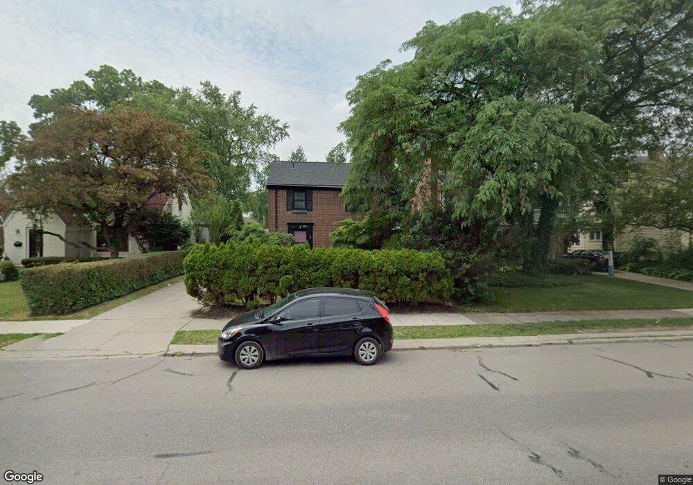
325 Moross Rd Grosse Pointe Farms, MI 48236
Estimated Value: $311,000 - $386,000
3
Beds
2
Baths
1,496
Sq Ft
$233/Sq Ft
Est. Value
About This Home
This home is located at 325 Moross Rd, Grosse Pointe Farms, MI 48236 and is currently estimated at $348,319, approximately $232 per square foot. 325 Moross Rd is a home located in Wayne County with nearby schools including Kerby Elementary School, Brownell Middle School, and Grosse Pointe South High School.
Ownership History
Date
Name
Owned For
Owner Type
Purchase Details
Closed on
Dec 1, 2017
Sold by
Andre Jody
Bought by
Connally Jody Andre
Current Estimated Value
Purchase Details
Closed on
Oct 13, 2017
Sold by
Momjian Shahe M
Bought by
Connally Jody Andre
Purchase Details
Closed on
Jun 30, 2015
Sold by
Momjian Shahe and Momjian Shirley Brennan
Bought by
Momjian Shahe M and Shahe M Momjian Revocable Trust
Create a Home Valuation Report for This Property
The Home Valuation Report is an in-depth analysis detailing your home's value as well as a comparison with similar homes in the area
Home Values in the Area
Average Home Value in this Area
Purchase History
| Date | Buyer | Sale Price | Title Company |
|---|---|---|---|
| Connally Jody Andre | -- | None Available | |
| Connally Jody Andre | $135,600 | None Available | |
| Momjian Shahe M | -- | None Available |
Source: Public Records
Tax History Compared to Growth
Tax History
| Year | Tax Paid | Tax Assessment Tax Assessment Total Assessment is a certain percentage of the fair market value that is determined by local assessors to be the total taxable value of land and additions on the property. | Land | Improvement |
|---|---|---|---|---|
| 2025 | $3,166 | $158,100 | $0 | $0 |
| 2024 | $3,166 | $146,700 | $0 | $0 |
| 2023 | $3,725 | $136,900 | $0 | $0 |
| 2022 | $5,634 | $125,900 | $0 | $0 |
| 2021 | $5,322 | $116,300 | $0 | $0 |
| 2019 | $5,234 | $104,700 | $0 | $0 |
| 2018 | $2,678 | $99,700 | $0 | $0 |
| 2017 | $3,773 | $97,200 | $0 | $0 |
| 2016 | $4,855 | $95,500 | $0 | $0 |
| 2015 | $7,835 | $86,400 | $0 | $0 |
| 2013 | $7,590 | $75,900 | $0 | $0 |
| 2012 | $2,018 | $75,900 | $24,100 | $51,800 |
Source: Public Records
Map
Nearby Homes
- 343 Beaupre Ave
- 265 Williams Ave
- 351 Moselle Place
- 419 Maison Rd
- 432 Calvin Ave
- 273 Ridge Rd
- 450 Roland Rd
- 471 Touraine Rd
- 257 Ridge Rd
- 441 Manor St
- 410 Roland Ct
- 81 Moross Rd
- 302 Mount Vernon Ave
- 189 Cloverly Rd
- 314 Mount Vernon Ave
- 415 Lothrop Rd
- 343 Mount Vernon Ave
- 317 Mount Vernon Ave
- 486 Bournemouth Rd
- 5056 Lafontaine St
- 323 Moross Rd
- 329 Moross Rd
- 331 Moross Rd
- 321 Moross Rd
- 326 Hillcrest Ave
- 319 Moross Rd
- 328 Hillcrest Ave
- 332 Hillcrest Ave Unit Bldg-Unit
- 332 Hillcrest Ave
- 322 Hillcrest Ave
- 333 Moross Rd
- 315 Moross Rd
- 350 Williams Ave
- 334 Hillcrest Ave
- 318 Hillcrest Ave
- 324 Hillcrest Ave
- 336 Hillcrest Ave
- 316 Hillcrest Ave
- 304 Hillcrest Ave
- 314 Hillcrest Ave