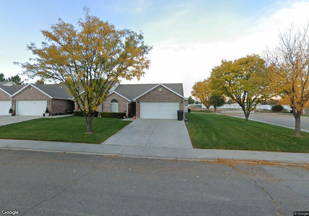
325 N 1140 E Payson, UT 84651
Estimated Value: $320,000 - $340,000
2
Beds
2
Baths
1,243
Sq Ft
$265/Sq Ft
Est. Value
About This Home
This home is located at 325 N 1140 E, Payson, UT 84651 and is currently estimated at $329,092, approximately $264 per square foot. 325 N 1140 E is a home located in Utah County with nearby schools including Barnett Elementary School, Salem Junior High School, and Valley View Middle School.
Ownership History
Date
Name
Owned For
Owner Type
Purchase Details
Closed on
Jan 31, 2013
Sold by
Romero Kerry Ann and Felice Michael Frank
Bought by
Harrison Cloyd A and Harrison Laurel Ann Robison
Current Estimated Value
Purchase Details
Closed on
Aug 30, 2011
Sold by
Felice Louie S
Bought by
Romero Kerry Ann and Felice Michael Frank
Purchase Details
Closed on
Apr 29, 1998
Sold by
Bagley Enterprises Inc
Bought by
Felice Louie S
Home Financials for this Owner
Home Financials are based on the most recent Mortgage that was taken out on this home.
Original Mortgage
$109,350
Interest Rate
7.06%
Create a Home Valuation Report for This Property
The Home Valuation Report is an in-depth analysis detailing your home's value as well as a comparison with similar homes in the area
Home Values in the Area
Average Home Value in this Area
Purchase History
| Date | Buyer | Sale Price | Title Company |
|---|---|---|---|
| Harrison Cloyd A | -- | Advanced Title Company Inc | |
| Harrison Colyd A | -- | Advanced Title Co Inc | |
| Romero Kerry Ann | -- | None Available | |
| Felice Louie S | -- | -- |
Source: Public Records
Mortgage History
| Date | Status | Borrower | Loan Amount |
|---|---|---|---|
| Previous Owner | Felice Louie S | $109,350 |
Source: Public Records
Tax History
| Year | Tax Paid | Tax Assessment Tax Assessment Total Assessment is a certain percentage of the fair market value that is determined by local assessors to be the total taxable value of land and additions on the property. | Land | Improvement |
|---|---|---|---|---|
| 2025 | $1,764 | $174,075 | -- | -- |
| 2024 | $1,764 | $179,520 | $0 | $0 |
| 2023 | $1,627 | $166,045 | $0 | $0 |
| 2022 | $1,528 | $153,395 | $0 | $0 |
| 2021 | $1,274 | $205,100 | $24,600 | $180,500 |
| 2020 | $1,240 | $195,300 | $23,400 | $171,900 |
| 2019 | $1,152 | $186,000 | $22,000 | $164,000 |
| 2018 | $1,169 | $182,000 | $22,000 | $160,000 |
| 2017 | $1,090 | $91,245 | $0 | $0 |
| 2016 | $1,025 | $85,250 | $0 | $0 |
| 2015 | $899 | $74,250 | $0 | $0 |
| 2014 | $893 | $74,250 | $0 | $0 |
Source: Public Records
Map
Nearby Homes
Your Personal Tour Guide
Ask me questions while you tour the home.