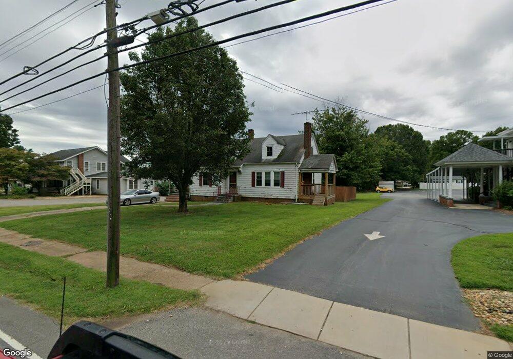
325 N Main St Troutman, NC 28166
Estimated Value: $158,000 - $313,000
2
Beds
1
Bath
1,558
Sq Ft
$151/Sq Ft
Est. Value
About This Home
This home is located at 325 N Main St, Troutman, NC 28166 and is currently estimated at $235,323, approximately $151 per square foot. 325 N Main St is a home located in Iredell County with nearby schools including Troutman Elementary School, Troutman Middle School, and South Iredell High School.
Ownership History
Date
Name
Owned For
Owner Type
Purchase Details
Closed on
May 13, 2005
Sold by
Shumake Joe C and Shumake Kim S
Bought by
Julias Talley House Inc
Current Estimated Value
Purchase Details
Closed on
Jul 26, 1999
Sold by
Neill Nora M and Ronsvalle Helen A
Bought by
Shumake Joe C and Shumake Kim S
Home Financials for this Owner
Home Financials are based on the most recent Mortgage that was taken out on this home.
Original Mortgage
$42,000
Interest Rate
7.51%
Purchase Details
Closed on
Jun 1, 1936
Create a Home Valuation Report for This Property
The Home Valuation Report is an in-depth analysis detailing your home's value as well as a comparison with similar homes in the area
Home Values in the Area
Average Home Value in this Area
Purchase History
| Date | Buyer | Sale Price | Title Company |
|---|---|---|---|
| Julias Talley House Inc | $52,500 | -- | |
| Shumake Joe C | $52,500 | -- | |
| -- | -- | -- |
Source: Public Records
Mortgage History
| Date | Status | Borrower | Loan Amount |
|---|---|---|---|
| Previous Owner | Shumake Joe C | $42,000 |
Source: Public Records
Tax History Compared to Growth
Tax History
| Year | Tax Paid | Tax Assessment Tax Assessment Total Assessment is a certain percentage of the fair market value that is determined by local assessors to be the total taxable value of land and additions on the property. | Land | Improvement |
|---|---|---|---|---|
| 2024 | $914 | $77,610 | $41,200 | $36,410 |
| 2023 | $914 | $77,610 | $41,200 | $36,410 |
| 2022 | $807 | $64,530 | $32,960 | $31,570 |
| 2021 | $796 | $64,530 | $32,960 | $31,570 |
| 2020 | $796 | $64,530 | $32,960 | $31,570 |
| 2019 | $780 | $64,530 | $32,960 | $31,570 |
| 2018 | $822 | $68,920 | $36,070 | $32,850 |
| 2017 | $822 | $68,920 | $36,070 | $32,850 |
| 2016 | $822 | $68,920 | $36,070 | $32,850 |
| 2015 | $788 | $68,920 | $36,070 | $32,850 |
| 2014 | $801 | $73,390 | $36,070 | $37,320 |
Source: Public Records
Map
Nearby Homes
- 242 North Ave
- 210 Johnson St
- 0 Bradburn St Unit CAR4310045
- 156 Brooks St
- 164 N Eastway Dr
- 454 N Eastway Dr
- 00 Zion Wesley Rd
- 119 N Gibson St
- 101 S Sina St
- 310 E Church St
- 316 E Church St
- 121 Rhuidean Ct
- 110 Callandor Ct
- 177 Rhuidean Ct
- 132 Tanner Loop
- 123 Garden St
- 154 Tanner Loop
- 159 Tanner Loop
- Dickenson Plan at Winecoff Village
- Crane Plan at Winecoff Village
- 146 Talley St
- 403 N Main St
- 344 N Eastway Dr
- 354 N Eastway Dr
- 310 Lytton St
- 404 Lytton St
- 152 Talley St
- 316 Lytton St
- 364 N Eastway Dr
- 0 Talley St
- 001 Main St
- 145 Talley St
- 408 Lytton St
- 409 N Main St
- L15 Talley Ridge Dr
- L8 Talley Ridge Dr
- L7 Talley Ridge Dr
- L6 Talley Ridge Dr
- 270 Lytton St
- 324 N Eastway Dr