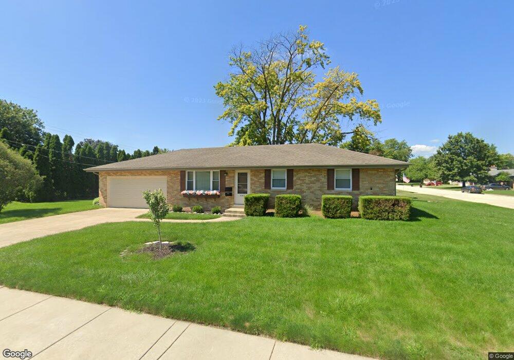
325 N Nebraska Ave Morton, IL 61550
Estimated Value: $200,786 - $236,000
3
Beds
1
Bath
1,153
Sq Ft
$193/Sq Ft
Est. Value
About This Home
This home is located at 325 N Nebraska Ave, Morton, IL 61550 and is currently estimated at $222,697, approximately $193 per square foot. 325 N Nebraska Ave is a home located in Tazewell County with nearby schools including Morton High School, Blessed Sacrament School, and Bethel Lutheran School.
Ownership History
Date
Name
Owned For
Owner Type
Purchase Details
Closed on
Jun 2, 2023
Sold by
Jet Businesses Llc Series
Bought by
Flett Bryon and Flett Laura L
Current Estimated Value
Home Financials for this Owner
Home Financials are based on the most recent Mortgage that was taken out on this home.
Original Mortgage
$140,000
Outstanding Balance
$136,735
Interest Rate
7.13%
Mortgage Type
New Conventional
Estimated Equity
$85,962
Purchase Details
Closed on
Apr 5, 2017
Sold by
Samp Eric M and Samp Michael R
Bought by
Jet Business Llc Series 325
Purchase Details
Closed on
Jun 8, 2015
Sold by
Russell David E and Russell Sonia Bg
Bought by
Samp Eric M and Samp Michael
Home Financials for this Owner
Home Financials are based on the most recent Mortgage that was taken out on this home.
Original Mortgage
$108,800
Interest Rate
3.65%
Mortgage Type
New Conventional
Create a Home Valuation Report for This Property
The Home Valuation Report is an in-depth analysis detailing your home's value as well as a comparison with similar homes in the area
Home Values in the Area
Average Home Value in this Area
Purchase History
| Date | Buyer | Sale Price | Title Company |
|---|---|---|---|
| Flett Bryon | $175,000 | Hometown Title | |
| Jet Business Llc Series 325 | -- | -- | |
| Samp Eric M | $136,000 | First Community Title |
Source: Public Records
Mortgage History
| Date | Status | Borrower | Loan Amount |
|---|---|---|---|
| Open | Flett Bryon | $140,000 | |
| Previous Owner | Samp Eric M | $108,800 |
Source: Public Records
Tax History Compared to Growth
Tax History
| Year | Tax Paid | Tax Assessment Tax Assessment Total Assessment is a certain percentage of the fair market value that is determined by local assessors to be the total taxable value of land and additions on the property. | Land | Improvement |
|---|---|---|---|---|
| 2024 | $3,852 | $56,380 | $14,880 | $41,500 |
| 2023 | $3,852 | $52,520 | $13,860 | $38,660 |
| 2022 | $3,725 | $48,230 | $12,730 | $35,500 |
| 2021 | $3,582 | $46,370 | $12,240 | $34,130 |
| 2020 | $3,472 | $45,910 | $12,120 | $33,790 |
| 2019 | $3,463 | $45,910 | $12,120 | $33,790 |
| 2018 | $3,400 | $45,910 | $12,120 | $33,790 |
| 2017 | $3,312 | $45,460 | $12,000 | $33,460 |
| 2016 | $3,121 | $42,070 | $8,610 | $33,460 |
| 2015 | -- | $0 | $0 | $0 |
| 2013 | $2,983 | $42,070 | $8,610 | $33,460 |
Source: Public Records
Map
Nearby Homes
- 916 E Jackson St
- 430 N Montana Ave
- 314 N Oklahoma Ave
- 329 Pocono Ave
- 353 Pocono Ave
- 519 Ohio Ct
- 505 E Tyler St
- 101 N Oregon Ave
- 74 N Oregon Ave
- 120 N Indiana Ave
- 129 N Indiana Ave
- 328 N 3rd Ave
- 218 N Fourth Ave
- 501-503 Pierce St
- 754 Taylor St
- 512 N Main St
- 1263 Wheatfield Dr
- 507 E Adams St
- 452 N Bauman Ave
- 1209 Whippoorwill Dr