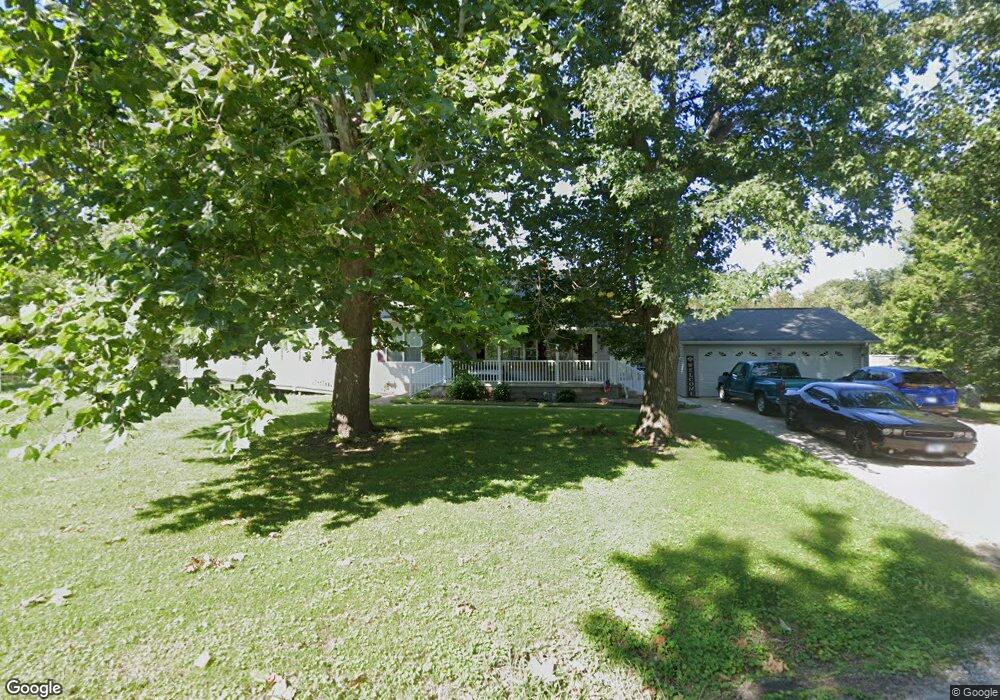
325 N Ruby Ln Fairview Heights, IL 62208
Estimated Value: $154,000 - $231,000
Studio
--
Bath
816
Sq Ft
$236/Sq Ft
Est. Value
About This Home
This home is located at 325 N Ruby Ln, Fairview Heights, IL 62208 and is currently estimated at $192,733, approximately $236 per square foot. 325 N Ruby Ln is a home located in St. Clair County with nearby schools including Illini Elementary School, Grant Middle School, and Holy Trinity Catholic School.
Ownership History
Date
Name
Owned For
Owner Type
Purchase Details
Closed on
Aug 26, 2019
Sold by
Johnson Katherine L and Melvin H Mewes Trust
Bought by
Jophnson Samantha R
Current Estimated Value
Home Financials for this Owner
Home Financials are based on the most recent Mortgage that was taken out on this home.
Original Mortgage
$91,200
Outstanding Balance
$80,128
Interest Rate
3.75%
Mortgage Type
New Conventional
Estimated Equity
$112,605
Purchase Details
Closed on
Aug 21, 2007
Sold by
Herrin Larry and Herrin Carolyn Marie
Bought by
Melvin H Mewes Trust
Create a Home Valuation Report for This Property
The Home Valuation Report is an in-depth analysis detailing your home's value as well as a comparison with similar homes in the area
Home Values in the Area
Average Home Value in this Area
Purchase History
| Date | Buyer | Sale Price | Title Company |
|---|---|---|---|
| Jophnson Samantha R | $96,000 | Town & Country Title Co | |
| Melvin H Mewes Trust | $170,000 | Benedick Title Ins |
Source: Public Records
Mortgage History
| Date | Status | Borrower | Loan Amount |
|---|---|---|---|
| Open | Jophnson Samantha R | $91,200 |
Source: Public Records
Tax History
| Year | Tax Paid | Tax Assessment Tax Assessment Total Assessment is a certain percentage of the fair market value that is determined by local assessors to be the total taxable value of land and additions on the property. | Land | Improvement |
|---|---|---|---|---|
| 2024 | $4,825 | $67,130 | $6,519 | $60,611 |
| 2023 | $4,528 | $59,397 | $5,768 | $53,629 |
| 2022 | $4,788 | $55,285 | $5,653 | $49,632 |
| 2021 | $4,572 | $52,472 | $5,365 | $47,107 |
| 2020 | $4,497 | $49,705 | $5,082 | $44,623 |
| 2019 | $4,345 | $49,705 | $5,082 | $44,623 |
| 2018 | $3,457 | $50,550 | $5,434 | $45,116 |
| 2017 | $3,349 | $48,500 | $5,214 | $43,286 |
| 2016 | $3,365 | $47,405 | $5,096 | $42,309 |
| 2014 | $3,513 | $54,381 | $6,713 | $47,668 |
| 2013 | $3,703 | $55,384 | $6,837 | $48,547 |
Source: Public Records
Map
Nearby Homes
- 10 Leo Dr
- 1519 Laketop Dr
- 300 Pleasant Ridge Rd
- 1078 Blackwolf Ct
- 207 Primrose Ln
- 200 Primrose Ln
- 102 Dogwood Ln
- 123 Richmond Dr
- 5 Helen Ct
- 13 Joseph Dr
- 318 Union Hill Rd
- 709 Wild Horse Creek Dr
- 700 Applewood Creek Dr
- 9 Hyde Park Rd
- 206 Newcastle Dr
- 114 Ashland Ave
- 104 Debra Dr
- 9915 North Rd
- 123 E School St
- 828 Applewood Creek Dr
Your Personal Tour Guide
Ask me questions while you tour the home.