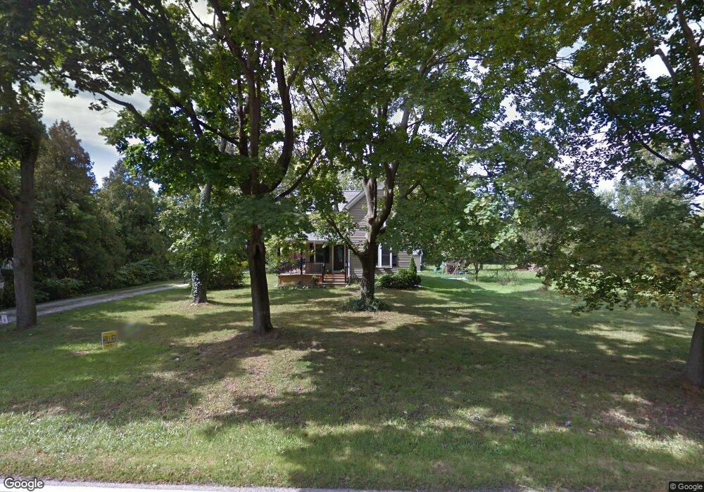
325 Park Rd Painesville, OH 44077
Estimated Value: $241,000 - $288,427
3
Beds
3
Baths
1,136
Sq Ft
$229/Sq Ft
Est. Value
About This Home
This home is located at 325 Park Rd, Painesville, OH 44077 and is currently estimated at $259,607, approximately $228 per square foot. 325 Park Rd is a home located in Lake County with nearby schools including Henry F. Lamuth Middle School, Riverside Junior/Senior High School, and Summit Academy Community School - Painesville.
Ownership History
Date
Name
Owned For
Owner Type
Purchase Details
Closed on
Nov 14, 2005
Sold by
Ruksenos Dolores B
Bought by
Wiatrowski Natalie C
Current Estimated Value
Home Financials for this Owner
Home Financials are based on the most recent Mortgage that was taken out on this home.
Original Mortgage
$110,000
Outstanding Balance
$60,050
Interest Rate
5.98%
Mortgage Type
Fannie Mae Freddie Mac
Estimated Equity
$199,557
Purchase Details
Closed on
Nov 16, 1999
Sold by
Ruksenos Dolores I
Bought by
Ruksenios Dolores B
Home Financials for this Owner
Home Financials are based on the most recent Mortgage that was taken out on this home.
Original Mortgage
$80,047
Interest Rate
7.69%
Purchase Details
Closed on
Jun 14, 1989
Bought by
Ruksenos Dolores
Create a Home Valuation Report for This Property
The Home Valuation Report is an in-depth analysis detailing your home's value as well as a comparison with similar homes in the area
Home Values in the Area
Average Home Value in this Area
Purchase History
| Date | Buyer | Sale Price | Title Company |
|---|---|---|---|
| Wiatrowski Natalie C | $156,200 | Great Northern Title Agency | |
| Ruksenios Dolores B | $65,000 | First Service Title Agency I | |
| Weiss James R | $60,000 | Midland Title Security Inc | |
| Ruksenos Dolores | -- | -- |
Source: Public Records
Mortgage History
| Date | Status | Borrower | Loan Amount |
|---|---|---|---|
| Open | Wiatrowski Natalie C | $110,000 | |
| Previous Owner | Ruksenios Dolores B | $80,047 |
Source: Public Records
Tax History Compared to Growth
Tax History
| Year | Tax Paid | Tax Assessment Tax Assessment Total Assessment is a certain percentage of the fair market value that is determined by local assessors to be the total taxable value of land and additions on the property. | Land | Improvement |
|---|---|---|---|---|
| 2024 | -- | $95,480 | $40,810 | $54,670 |
| 2023 | $8,316 | $76,310 | $32,620 | $43,690 |
| 2022 | $4,472 | $76,310 | $32,620 | $43,690 |
| 2021 | $4,521 | $76,870 | $33,180 | $43,690 |
| 2020 | $4,453 | $66,840 | $28,850 | $37,990 |
| 2019 | $4,487 | $66,840 | $28,850 | $37,990 |
| 2018 | $4,438 | $53,440 | $26,230 | $27,210 |
| 2017 | $3,718 | $53,440 | $26,230 | $27,210 |
| 2016 | $3,366 | $53,440 | $26,230 | $27,210 |
| 2015 | $3,074 | $53,440 | $26,230 | $27,210 |
| 2014 | $3,125 | $53,440 | $26,230 | $27,210 |
| 2013 | $3,054 | $53,440 | $26,230 | $27,210 |
Source: Public Records
Map
Nearby Homes
- 396 Park Rd
- 43 Bristol Ave
- V/L Morgan Dr
- 500 Park Rd
- 525 Morgan Dr
- 67 Tanners Farm Dr
- 65 Tanners Farm Dr
- 1182 Dalton Dr
- 1172 Dalton Dr
- 5406 Pebble Creek Ln
- 44 Grove Ave
- 269 Hale Rd
- 58 Deerfield Dr
- 0 N Ridge Rd Unit 5110949
- 108 Birch Dr
- 30 Orton Rd
- 1787 Muirfield Ln
- 4505 Lane Rd
- 238 Radley Dr
- 389 Sand Trap Cir
- 307 Park Rd
- 320 Park Rd
- 305 Park Rd
- 361 Park Rd
- 302 Park Rd
- 300 Park Rd
- 285 Park Rd
- 308 Park Rd
- 1500 Thatcher Dr
- 365 Park Rd
- 286 Park Rd
- 277 Park Rd
- 1490 Thatcher Dr
- 0 Park Rd Unit 3936688
- 0 Park Rd Unit 3132982
- 0 Park Rd Unit 4468074
- 0 Park Rd Unit 4394276
- 0 Park Rd Unit 4358880
- 0 Park Rd Unit 4210619
- 0 Park Rd Unit 4198983