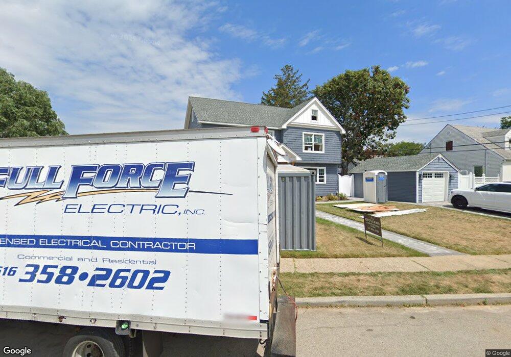
325 Paul Place West Hempstead, NY 11552
Estimated Value: $800,000 - $836,078
4
Beds
2
Baths
1,400
Sq Ft
$584/Sq Ft
Est. Value
About This Home
This home is located at 325 Paul Place, West Hempstead, NY 11552 and is currently estimated at $818,039, approximately $584 per square foot. 325 Paul Place is a home located in Nassau County with nearby schools including Hebrew Academy of Nassau County (HANC).
Ownership History
Date
Name
Owned For
Owner Type
Purchase Details
Closed on
Mar 20, 2019
Sold by
Maldonado William and Maldonado William
Bought by
Maldonado William and Maldonado Vivienne
Current Estimated Value
Home Financials for this Owner
Home Financials are based on the most recent Mortgage that was taken out on this home.
Original Mortgage
$320,000
Outstanding Balance
$244,254
Interest Rate
4.3%
Mortgage Type
New Conventional
Estimated Equity
$573,785
Purchase Details
Closed on
Mar 14, 2016
Sold by
Maldonado William and Maldonado Margarita
Bought by
Maldonado William and Maldonado William
Purchase Details
Closed on
Apr 21, 2003
Sold by
Maldonado William
Purchase Details
Closed on
Jul 24, 1997
Sold by
Suarte Sheldon
Bought by
Juan Maldorado William and Juan Margarita Maldo
Create a Home Valuation Report for This Property
The Home Valuation Report is an in-depth analysis detailing your home's value as well as a comparison with similar homes in the area
Home Values in the Area
Average Home Value in this Area
Purchase History
| Date | Buyer | Sale Price | Title Company |
|---|---|---|---|
| Maldonado William | -- | None Available | |
| Maldonado William | -- | First American Title Insuran | |
| -- | -- | -- | |
| Juan Maldorado William | $185,000 | -- |
Source: Public Records
Mortgage History
| Date | Status | Borrower | Loan Amount |
|---|---|---|---|
| Open | Maldonado William | $320,000 |
Source: Public Records
Tax History Compared to Growth
Tax History
| Year | Tax Paid | Tax Assessment Tax Assessment Total Assessment is a certain percentage of the fair market value that is determined by local assessors to be the total taxable value of land and additions on the property. | Land | Improvement |
|---|---|---|---|---|
| 2025 | $11,323 | $515 | $282 | $233 |
| 2024 | $4,678 | $515 | $282 | $233 |
| 2023 | $11,557 | $515 | $282 | $233 |
| 2022 | $11,557 | $515 | $282 | $233 |
| 2021 | $15,361 | $506 | $277 | $229 |
| 2020 | $12,290 | $783 | $564 | $219 |
| 2019 | $12,239 | $783 | $564 | $219 |
| 2018 | $11,619 | $783 | $0 | $0 |
| 2017 | $5,478 | $783 | $564 | $219 |
| 2016 | $9,461 | $783 | $553 | $230 |
| 2015 | $3,721 | $783 | $553 | $230 |
| 2014 | $3,721 | $783 | $553 | $230 |
| 2013 | $3,545 | $798 | $564 | $234 |
Source: Public Records
Map
Nearby Homes
- 350 Paul Place
- 576 Western Park Dr
- 19 Richard St
- 303 Nassau Blvd
- 279 Semton Blvd
- 231 Dogwood Ave
- 537 Madison Ave
- 198 Guildford Ct
- 613 Adams Ave
- 518 Nassau Blvd
- 590 Langley Ave
- 635 Hempstead Ave
- 757 Marion St
- 249 Grange St
- 474 Roy St
- 594 Fenworth Blvd
- 600 Dogwood Ave
- 582 Gaynor Place
- 126 Oakland Ave
- 791 Caryl St