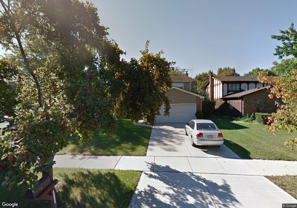
325 Pearson Cir Naperville, IL 60563
North Downtown Naperville NeighborhoodEstimated Value: $529,485 - $591,000
About This Home
This home is located at 325 Pearson Cir, Naperville, IL 60563 and is currently estimated at $560,121, approximately $245 per square foot. 325 Pearson Cir is a home located in DuPage County with nearby schools including Naper Elementary School, Washington Jr High School, and Naperville North High School.
Ownership History
We collect this data history from publicly available records. To have your information removed, we recommend requesting removal directly through your county’s website.
Purchase Details
Home Values in the Area
Average Home Value in this Area
Purchase History
We collect this data history from publicly available records. To have your information removed, we recommend requesting removal directly through your county’s website.
| Date | Buyer | Sale Price | Title Company |
|---|---|---|---|
| -- | None Available |
Tax History
We collect this data history from publicly available records. To have your information removed, we recommend requesting removal directly through your county’s website.
| Year | Tax Paid | Tax Assessment Tax Assessment Total Assessment is a certain percentage of the fair market value that is determined by local assessors to be the total taxable value of land and additions on the property. | Land | Improvement |
|---|---|---|---|---|
| 2024 | $9,453 | $170,140 | $46,586 | $123,554 |
| 2023 | $8,881 | $152,880 | $41,860 | $111,020 |
| 2022 | $8,581 | $143,810 | $39,050 | $104,760 |
| 2021 | $8,265 | $138,680 | $37,660 | $101,020 |
| 2020 | $8,239 | $138,680 | $37,660 | $101,020 |
| 2019 | $7,925 | $131,900 | $35,820 | $96,080 |
| 2018 | $7,753 | $129,440 | $34,870 | $94,570 |
| 2017 | $7,912 | $125,050 | $33,690 | $91,360 |
| 2016 | $7,718 | $120,010 | $32,330 | $87,680 |
| 2015 | $7,725 | $113,950 | $30,700 | $83,250 |
| 2014 | $7,264 | $104,410 | $27,600 | $76,810 |
| 2013 | $7,215 | $105,130 | $27,790 | $77,340 |
Map
- 660 N Eagle St
- 817 N Eagle St
- 664 N Webster St
- 856 N Webster St
- 826 N Main St
- 905 N Webster St
- 1004 N Mill St Unit 312
- 1001 N Mill St Unit 103
- 1041 N Mill St Unit 307
- 1056 N Mill St Unit 107
- 1056 N Mill St Unit 304
- 1056 N Mill St Unit 201
- 1052 N Mill St Unit 111
- 1104 N Mill St Unit 205
- 117 N Mill St
- 1103 N Mill St Unit 111
- 1103 N Mill St Unit 109
- 229 Center St
- 840 N Center St
- 835 N Ellsworth St
- 327 Pearson Cir
- 619 Morningside Dr
- 615 Morningside Dr
- 329 Pearson Cir
- 630 Morningside Dr
- 626 Morningside Dr
- 622 Morningside Dr
- 634 Morningside Dr
- 609 Morningside Dr
- 618 Morningside Dr
- 638 Morningside Dr
- 331 Pearson Cir
- 612 Morningside Dr
- 331 W 6th Ave
- 327 W 6th Ave
- 642 Morningside Dr
- 335 Pearson Cir
- 319 W 6th Ave
- 335 W 6th Ave
- 337 Pearson Cir
Ask me questions while you tour the home.