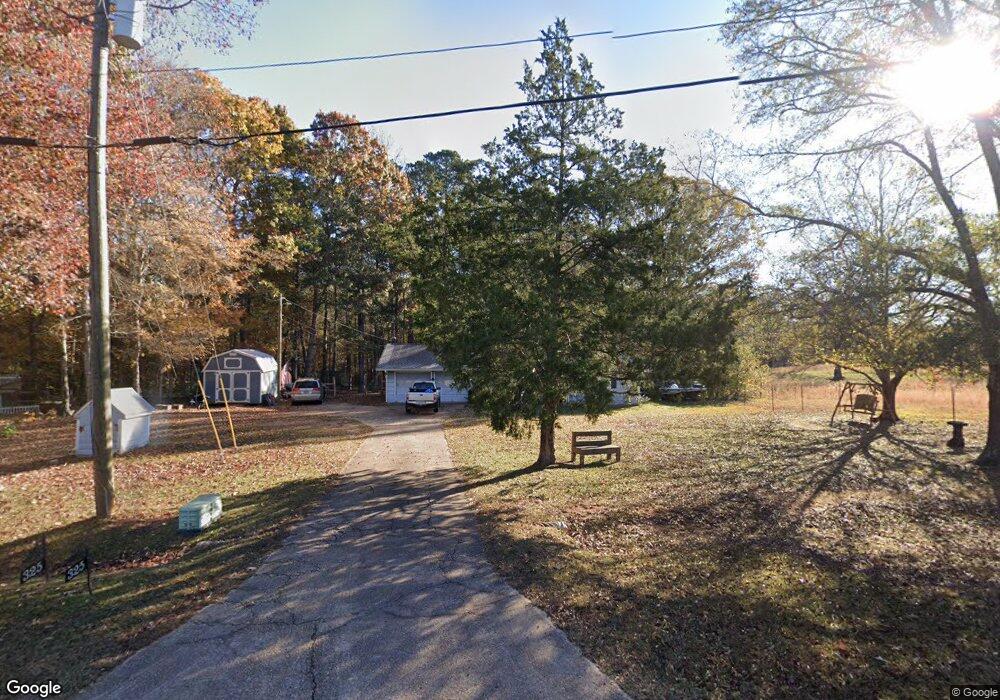
325 Reed Rd West Point, GA 31833
Estimated Value: $150,000 - $176,426
3
Beds
2
Baths
1,300
Sq Ft
$129/Sq Ft
Est. Value
About This Home
This home is located at 325 Reed Rd, West Point, GA 31833 and is currently estimated at $167,357, approximately $128 per square foot. 325 Reed Rd is a home located in Troup County with nearby schools including West Point Elementary School, Long Cane Elementary School, and Berta Weathersbee Elementary School.
Ownership History
Date
Name
Owned For
Owner Type
Purchase Details
Closed on
Dec 30, 2024
Sold by
Skillman Brenda K
Bought by
Skillman Amanda and Skillman Mark
Current Estimated Value
Purchase Details
Closed on
Dec 20, 2019
Sold by
Hargett Joe Neal Estate
Bought by
Skillman Rodney and Skillman Brenda K
Purchase Details
Closed on
Apr 9, 2019
Sold by
Harrison Melody Hargett
Bought by
Hargett Joe Neal Estate
Purchase Details
Closed on
Oct 3, 2008
Sold by
Hambrick Irma Kate
Bought by
Hargett Joe N
Purchase Details
Closed on
Mar 20, 1998
Sold by
Irma Kate Hambrick and Irma Hilton
Bought by
Durwood C Hargett
Purchase Details
Closed on
Oct 17, 1995
Sold by
Hal C Miller
Bought by
Irma Kate Hambrick and Irma Hilton
Purchase Details
Closed on
Sep 1, 1986
Sold by
Hester Elmer and Hester Nadine
Bought by
Hal C Miller
Create a Home Valuation Report for This Property
The Home Valuation Report is an in-depth analysis detailing your home's value as well as a comparison with similar homes in the area
Home Values in the Area
Average Home Value in this Area
Purchase History
| Date | Buyer | Sale Price | Title Company |
|---|---|---|---|
| Skillman Amanda | -- | -- | |
| Skillman Rodney | $79,900 | -- | |
| Hargett Joe Neal Estate | -- | -- | |
| Hargett Joe N | $52,000 | -- | |
| Durwood C Hargett | -- | -- | |
| Irma Kate Hambrick | -- | -- | |
| Hal C Miller | $2,900 | -- |
Source: Public Records
Tax History Compared to Growth
Tax History
| Year | Tax Paid | Tax Assessment Tax Assessment Total Assessment is a certain percentage of the fair market value that is determined by local assessors to be the total taxable value of land and additions on the property. | Land | Improvement |
|---|---|---|---|---|
| 2024 | $1,227 | $45,000 | $9,600 | $35,400 |
| 2023 | $1,172 | $42,960 | $9,600 | $33,360 |
| 2022 | $1,153 | $41,320 | $9,600 | $31,720 |
| 2021 | $1,127 | $37,360 | $9,280 | $28,080 |
| 2020 | $964 | $37,360 | $9,280 | $28,080 |
| 2019 | $996 | $33,040 | $7,720 | $25,320 |
| 2018 | $928 | $30,760 | $7,720 | $23,040 |
| 2017 | $627 | $30,760 | $7,720 | $23,040 |
| 2016 | $629 | $30,797 | $7,754 | $23,043 |
| 2015 | $629 | $30,797 | $7,754 | $23,043 |
| 2014 | $593 | $29,584 | $7,754 | $21,830 |
| 2013 | -- | $30,765 | $7,754 | $23,011 |
Source: Public Records
Map
Nearby Homes
- 0 Lambert Rd
- 1599 Highway 29
- 0 Ga Highway 0116 Unit 10619139
- 1903 Ridgewood Dr
- 508 Pine St
- 0 Sandtown Rd Unit 10255987
- Sandtown Road Unit: 1 2+ - Acre
- 797 Gabbettville Rd
- 0 Johns Rd Unit 10615130
- 1505 Wisteria Dr
- 1095 County Road 212
- 111 Tudor Way
- 4517 Georgia 18
- 4509 Georgia 18
- 4523 Georgia 18
- 4527 Georgia 18
- 1103 Clara Dr
- 1109 Clara Dr
- 1111 Clara Dr
- 1105 Clara Dr