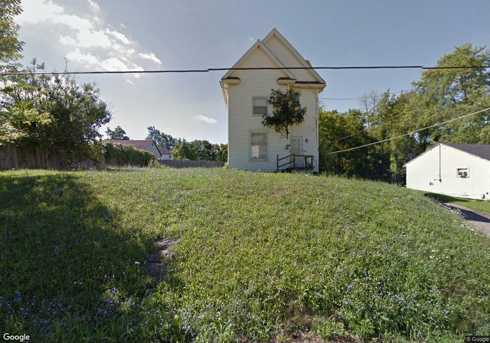
325 Reed St Mansfield, OH 44903
Estimated Value: $63,000 - $98,000
2
Beds
1
Bath
936
Sq Ft
$89/Sq Ft
Est. Value
About This Home
This home is located at 325 Reed St, Mansfield, OH 44903 and is currently estimated at $83,680, approximately $89 per square foot. 325 Reed St is a home located in Richland County with nearby schools including Goal Digital Academy, St. Peter's Elementary/Montessori School, and St. Peter's Junior High / High School.
Ownership History
Date
Name
Owned For
Owner Type
Purchase Details
Closed on
Jan 21, 2010
Sold by
Merwine Larry D
Bought by
Isanjo Properties Of Mansfield Llc
Current Estimated Value
Purchase Details
Closed on
Jul 30, 2008
Sold by
3 Rivers Investors Ltd
Bought by
The Richland Trust Co
Purchase Details
Closed on
Mar 7, 2005
Sold by
Freiberger James C and Freiberger Cheryl L
Bought by
3 Rivers Investors Ltd
Purchase Details
Closed on
Apr 14, 2004
Sold by
Household Realty Corp
Bought by
Freiberger James C and Freiberger Cheryl L
Purchase Details
Closed on
Jan 23, 2004
Sold by
Malishefski Daniel
Bought by
Household Realty Corp
Purchase Details
Closed on
Jun 16, 1992
Sold by
Casto Dexter
Bought by
Malishefski Daniel
Purchase Details
Closed on
Mar 1, 1985
Create a Home Valuation Report for This Property
The Home Valuation Report is an in-depth analysis detailing your home's value as well as a comparison with similar homes in the area
Home Values in the Area
Average Home Value in this Area
Purchase History
| Date | Buyer | Sale Price | Title Company |
|---|---|---|---|
| Isanjo Properties Of Mansfield Llc | -- | Attorney | |
| The Richland Trust Co | -- | None Available | |
| 3 Rivers Investors Ltd | $18,600 | Southern Title | |
| Freiberger James C | $7,000 | Foundation Title Agency | |
| Household Realty Corp | $12,000 | -- | |
| Malishefski Daniel | $6,000 | -- | |
| -- | $5,000 | -- |
Source: Public Records
Tax History
| Year | Tax Paid | Tax Assessment Tax Assessment Total Assessment is a certain percentage of the fair market value that is determined by local assessors to be the total taxable value of land and additions on the property. | Land | Improvement |
|---|---|---|---|---|
| 2024 | $668 | $13,940 | $2,090 | $11,850 |
| 2023 | $667 | $13,940 | $2,090 | $11,850 |
| 2022 | $611 | $10,690 | $1,900 | $8,790 |
| 2021 | $615 | $10,690 | $1,900 | $8,790 |
| 2020 | $629 | $10,690 | $1,900 | $8,790 |
| 2019 | $697 | $10,690 | $1,900 | $8,790 |
| 2018 | $688 | $10,690 | $1,900 | $8,790 |
| 2017 | $652 | $10,690 | $1,900 | $8,790 |
| 2016 | $635 | $9,830 | $3,000 | $6,830 |
| 2015 | $635 | $9,830 | $3,000 | $6,830 |
| 2014 | $598 | $9,830 | $3,000 | $6,830 |
| 2012 | $229 | $9,830 | $3,160 | $6,670 |
Source: Public Records
Map
Nearby Homes
- 0 Voegele Ave Unit Lot 6048, 6049, 6
- 368 W 6th St
- 701 Springmill St
- 212 Penn Ave
- 524 Lida St
- 516 Burns St
- 230 Rae Ave
- 580 N Mulberry St
- 0 Grant Rd Unit 5190994
- 10 Gray Ct
- 118 Raymond Ave
- 81 Penn Ave
- 572 France St
- 458 W West Dickson Ave
- 492 Stark St
- 0 State Route 314 Unit 9069650
- 0 Lemley Ave Unit 9070540
- 688 Mcpherson St
- 30 Douglas Ave
- 31 Bartley Ave
Your Personal Tour Guide
Ask me questions while you tour the home.