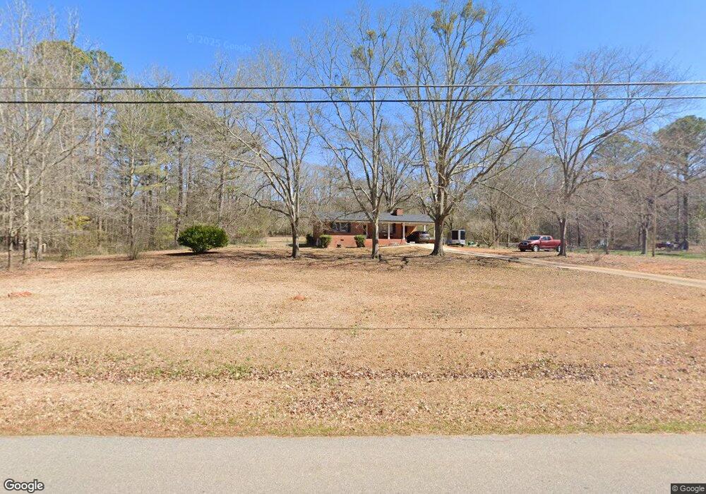
325 Robin Rd Covington, GA 30016
Estimated Value: $137,000 - $223,000
Studio
1
Bath
1,078
Sq Ft
$170/Sq Ft
Est. Value
About This Home
This home is located at 325 Robin Rd, Covington, GA 30016 and is currently estimated at $183,289, approximately $170 per square foot. 325 Robin Rd is a home located in Newton County with nearby schools including Oak Hill Elementary School, Veterans Memorial Middle School, and Alcovy High School.
Ownership History
Date
Name
Owned For
Owner Type
Purchase Details
Closed on
Oct 2, 2024
Sold by
Perry Franklin Dennis
Bought by
Perry Franklin D
Current Estimated Value
Purchase Details
Closed on
Jan 17, 2023
Sold by
Perry Franklin D
Bought by
Perry Franklin Dennis
Purchase Details
Closed on
Feb 11, 2020
Sold by
Calhoun Phyllis L
Bought by
Perry Franklin D
Home Financials for this Owner
Home Financials are based on the most recent Mortgage that was taken out on this home.
Original Mortgage
$52,400
Interest Rate
3.6%
Mortgage Type
New Conventional
Purchase Details
Closed on
Oct 31, 2001
Sold by
Gilbert Eunice H
Bought by
Calhoun Phyllis L
Home Financials for this Owner
Home Financials are based on the most recent Mortgage that was taken out on this home.
Original Mortgage
$77,700
Interest Rate
6.67%
Mortgage Type
FHA
Create a Home Valuation Report for This Property
The Home Valuation Report is an in-depth analysis detailing your home's value as well as a comparison with similar homes in the area
Home Values in the Area
Average Home Value in this Area
Purchase History
| Date | Buyer | Sale Price | Title Company |
|---|---|---|---|
| Perry Franklin D | -- | -- | |
| Perry Franklin Dennis | -- | -- | |
| Perry Franklin D | $65,500 | -- | |
| Calhoun Phyllis L | $79,000 | -- |
Source: Public Records
Mortgage History
| Date | Status | Borrower | Loan Amount |
|---|---|---|---|
| Previous Owner | Perry Franklin D | $52,400 | |
| Previous Owner | Calhoun Phyllis L | $77,700 |
Source: Public Records
Tax History
| Year | Tax Paid | Tax Assessment Tax Assessment Total Assessment is a certain percentage of the fair market value that is determined by local assessors to be the total taxable value of land and additions on the property. | Land | Improvement |
|---|---|---|---|---|
| 2025 | $2,077 | $83,480 | $16,800 | $66,680 |
| 2024 | $2,126 | $83,920 | $23,040 | $60,880 |
| 2023 | $1,721 | $63,440 | $7,280 | $56,160 |
| 2022 | $1,334 | $49,160 | $7,280 | $41,880 |
| 2021 | $795 | $36,960 | $7,280 | $29,680 |
| 2020 | $1,046 | $31,120 | $6,000 | $25,120 |
| 2019 | $1,060 | $31,080 | $6,000 | $25,080 |
| 2018 | $798 | $23,240 | $6,000 | $17,240 |
| 2017 | $779 | $22,680 | $6,000 | $16,680 |
| 2016 | $779 | $22,680 | $6,000 | $16,680 |
| 2015 | $775 | $22,560 | $6,000 | $16,560 |
| 2014 | $772 | $22,560 | $0 | $0 |
Source: Public Records
Map
Nearby Homes
- 2215 Oak Hill Rd
- 125 Cardinal Ct Unit 1
- 0 Goldfinch Dr Unit 7564125
- 130 Goldfinch Dr
- 125 Goldfinch Dr
- 1925 Oak Hill Rd
- 5240 Highway 20 S
- 5737 Highway 20 S
- 35 Fourwood Dr
- 110 Chapel Heights Way
- 20 W Forest Dr
- 50 Butler Bridge Cir
- 6023 Highway 20 S
- 170 Gibson Way
- 14908 Brown Bridge Rd
- 120 Wintergreen Ct
- 2020 Bailey Creek Rd
- 339 Buckingham Dr SW
- 0 Butler Bridge Rd Unit 19792691
- 5214 Parkside Dr SE
Your Personal Tour Guide
Ask me questions while you tour the home.