325 S Lapham Peak Rd Delafield, WI 53018
Estimated Value: $497,000 - $727,836
3
Beds
2
Baths
--
Sq Ft
6.2
Acres
About This Home
This home is located at 325 S Lapham Peak Rd, Delafield, WI 53018 and is currently estimated at $641,959. 325 S Lapham Peak Rd is a home located in Waukesha County with nearby schools including Cushing Elementary School, Kettle Moraine Middle School, and Kettle Moraine High School.
Ownership History
Date
Name
Owned For
Owner Type
Purchase Details
Closed on
Jul 30, 2002
Sold by
Murray Thomas R and Murray Eileen M
Bought by
Scudder Mark A
Current Estimated Value
Home Financials for this Owner
Home Financials are based on the most recent Mortgage that was taken out on this home.
Original Mortgage
$225,000
Outstanding Balance
$95,821
Interest Rate
6.64%
Estimated Equity
$546,138
Create a Home Valuation Report for This Property
The Home Valuation Report is an in-depth analysis detailing your home's value as well as a comparison with similar homes in the area
Home Values in the Area
Average Home Value in this Area
Purchase History
| Date | Buyer | Sale Price | Title Company |
|---|---|---|---|
| Scudder Mark A | $250,000 | -- |
Source: Public Records
Mortgage History
| Date | Status | Borrower | Loan Amount |
|---|---|---|---|
| Open | Scudder Mark A | $225,000 |
Source: Public Records
Tax History Compared to Growth
Tax History
| Year | Tax Paid | Tax Assessment Tax Assessment Total Assessment is a certain percentage of the fair market value that is determined by local assessors to be the total taxable value of land and additions on the property. | Land | Improvement |
|---|---|---|---|---|
| 2024 | $5,992 | $437,400 | $223,200 | $214,200 |
| 2023 | $5,814 | $437,400 | $223,200 | $214,200 |
| 2022 | $5,324 | $437,400 | $223,200 | $214,200 |
| 2021 | $5,447 | $349,000 | $188,500 | $160,500 |
| 2020 | $5,518 | $349,000 | $188,500 | $160,500 |
| 2019 | $5,252 | $349,000 | $188,500 | $160,500 |
| 2018 | $5,132 | $349,000 | $188,500 | $160,500 |
| 2017 | $5,112 | $349,000 | $188,500 | $160,500 |
| 2016 | $5,192 | $349,000 | $188,500 | $160,500 |
| 2015 | $5,385 | $349,000 | $188,500 | $160,500 |
| 2014 | $5,709 | $349,000 | $188,500 | $160,500 |
| 2013 | $5,709 | $354,800 | $192,600 | $162,200 |
Source: Public Records
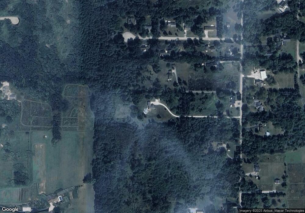
Map
Nearby Homes
- 351 Stocks Dr
- 1001 Park Way
- 1026 Park Way
- 1025 Park Way
- 711 Division St
- 805 Wells St Unit 4
- 805 Wells St Unit 2
- 805 Wells St Unit 3
- 805 Wells St Unit 1
- 637 1st St
- 1603 Milwaukee St
- 2264 Circle Ridge Rd Unit E
- W318N1045 Huckleberry Way N
- 2215B Circle Ridge Unit D
- 2357 Quail Hollow Ct Unit D
- 1958 Hillcrest Dr
- 2115 N Genesee St
- W339S271 Foxtail Ct
- 389 Juniper Ct
- 2937 N Mill Rd
- 231 S Lapham Peak Rd
- 946 Bahr Rd
- 926 Bahr Rd
- 936 Bahr Rd
- 929 Bahr Rd
- 923 Bahr Rd
- 935 Bahr Rd
- 917 Bahr Rd
- 221 S Lapham Peak Rd
- 1021 Bahr Rd
- 425 S Lapham Peak Rd
- 499 S Lapham Peak Rd
- 311 S Lapham Peak Rd Unit 13
- 1106 Bahr Rd
- Lot 1 Bahr Rd
- 209 S Lapham Peak Rd
- 1109 Bahr Rd
- Lt1 Bahr Rd
- 300 S Lapham Peak Rd
- 426 S Lapham Peak Rd