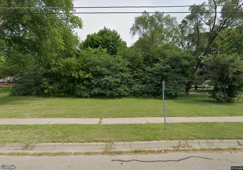
325 S Mccord St Benton Harbor, MI 49022
Estimated Value: $31,000
--
Bed
--
Bath
--
Sq Ft
6,229
Sq Ft Lot
About This Home
This home is located at 325 S Mccord St, Benton Harbor, MI 49022 and is currently estimated at $31,000. 325 S Mccord St is a home located in Berrien County with nearby schools including Fair Plain Middle School, Benton Harbor High School, and Benton Harbor Charter School Academy.
Ownership History
Date
Name
Owned For
Owner Type
Purchase Details
Closed on
May 19, 2021
Sold by
Beach House Rentals Llc
Bought by
Echols Shekia
Current Estimated Value
Purchase Details
Closed on
May 17, 2012
Sold by
County Of Berrien
Bought by
Beach House Rentals Llc
Purchase Details
Closed on
Aug 12, 2011
Sold by
Witkowski Bret
Bought by
Berrien County Land Bank Authority
Home Financials for this Owner
Home Financials are based on the most recent Mortgage that was taken out on this home.
Original Mortgage
$28,500
Interest Rate
4.54%
Mortgage Type
Unknown
Purchase Details
Closed on
Aug 4, 1995
Purchase Details
Closed on
Jan 14, 1993
Create a Home Valuation Report for This Property
The Home Valuation Report is an in-depth analysis detailing your home's value as well as a comparison with similar homes in the area
Home Values in the Area
Average Home Value in this Area
Purchase History
| Date | Buyer | Sale Price | Title Company |
|---|---|---|---|
| Echols Shekia | $29,500 | None Available | |
| Beach House Rentals Llc | $250 | None Available | |
| Berrien County Land Bank Authority | -- | None Available | |
| -- | $8,000 | -- | |
| -- | $8,000 | -- |
Source: Public Records
Mortgage History
| Date | Status | Borrower | Loan Amount |
|---|---|---|---|
| Previous Owner | Berrien County Land Bank Authority | $28,500 |
Source: Public Records
Tax History Compared to Growth
Tax History
| Year | Tax Paid | Tax Assessment Tax Assessment Total Assessment is a certain percentage of the fair market value that is determined by local assessors to be the total taxable value of land and additions on the property. | Land | Improvement |
|---|---|---|---|---|
| 2025 | $28 | $3,300 | $0 | $0 |
| 2024 | $27 | $2,800 | $0 | $0 |
| 2023 | $21 | $600 | $0 | $0 |
| 2022 | $24 | $400 | $0 | $0 |
| 2021 | $44 | $700 | $700 | $0 |
| 2020 | $44 | $700 | $0 | $0 |
| 2019 | $44 | $700 | $0 | $0 |
| 2018 | $65 | $2,900 | $0 | $0 |
| 2017 | $64 | $1,600 | $0 | $0 |
| 2016 | $63 | $1,600 | $0 | $0 |
| 2015 | $62 | $1,000 | $0 | $0 |
| 2014 | $72 | $1,200 | $0 | $0 |
Source: Public Records
Map
Nearby Homes
- 419 Packard St
- 710 Buss Ave
- 806 Pitkins Ave
- 696 Highland Ave
- 992 Highland Ave
- 137 Cornelia St
- 688 S Fair Ave
- 416 E Britain Ave
- 391 Pipestone St
- 378 Pipestone St
- 238 Pine St
- 363 Brunson Ave
- 1069 E Main St
- 6525 Territorial Rd
- 309 High St
- 730 Superior St
- 234 Walnut St
- 255 High St
- 0 V/L E Empire Ave
- 470 N Mccord St
- 765 E Vineyard Ave
- 771 E Vineyard Ave
- 775 E Vineyard Ave
- 754 E Vineyard Ave
- 301 S Mccord St
- 772 E Vineyard Ave
- 764 N Wells Ave
- 772 N Wells Ave
- 787 E Vineyard Ave
- 780 E Vineyard Ave
- 780 Nate Wells Sr Dr
- 795 E Vineyard Ave
- 794 E Vineyard Ave
- 794 N Wells Ave
- 803 E Vineyard Ave
- 798 E Vineyard Ave
- 802 E Vineyard Ave
- 757 Mcguigan Ave
- 273 S Mccord St
- 765 Mcguigan Ave