325 Sage St Unit 45 Demorest, GA 30535
Estimated Value: $393,000 - $450,000
3
Beds
3
Baths
1,912
Sq Ft
$217/Sq Ft
Est. Value
About This Home
This home is located at 325 Sage St Unit 45, Demorest, GA 30535 and is currently estimated at $414,192, approximately $216 per square foot. 325 Sage St Unit 45 is a home located in Habersham County with nearby schools including Demorest Elementary School, Wilbanks Middle School, and Habersham Success Academy.
Ownership History
Date
Name
Owned For
Owner Type
Purchase Details
Closed on
Apr 14, 2023
Sold by
Taylor Stella P
Bought by
York Benjamin A
Current Estimated Value
Purchase Details
Closed on
Aug 21, 2015
Sold by
Brown Alice
Bought by
Carter Stella P
Home Financials for this Owner
Home Financials are based on the most recent Mortgage that was taken out on this home.
Original Mortgage
$161,999
Interest Rate
4.09%
Mortgage Type
New Conventional
Create a Home Valuation Report for This Property
The Home Valuation Report is an in-depth analysis detailing your home's value as well as a comparison with similar homes in the area
Home Values in the Area
Average Home Value in this Area
Purchase History
| Date | Buyer | Sale Price | Title Company |
|---|---|---|---|
| York Benjamin A | $380,000 | -- | |
| Carter Stella P | $170,526 | -- |
Source: Public Records
Mortgage History
| Date | Status | Borrower | Loan Amount |
|---|---|---|---|
| Previous Owner | Carter Stella P | $161,999 |
Source: Public Records
Tax History Compared to Growth
Tax History
| Year | Tax Paid | Tax Assessment Tax Assessment Total Assessment is a certain percentage of the fair market value that is determined by local assessors to be the total taxable value of land and additions on the property. | Land | Improvement |
|---|---|---|---|---|
| 2025 | $3,081 | $135,095 | $20,000 | $115,095 |
| 2024 | -- | $147,180 | $20,000 | $127,180 |
| 2023 | $1,851 | $122,564 | $20,000 | $102,564 |
| 2022 | $2,228 | $107,948 | $20,000 | $87,948 |
| 2021 | $2,028 | $90,784 | $12,000 | $78,784 |
| 2020 | $1,921 | $77,676 | $10,000 | $67,676 |
| 2019 | $1,923 | $77,676 | $10,000 | $67,676 |
| 2018 | $1,911 | $77,676 | $10,000 | $67,676 |
| 2017 | $1,801 | $69,576 | $8,000 | $61,576 |
| 2016 | $1,779 | $170,600 | $7,508 | $60,732 |
| 2015 | -- | $168,670 | $8,000 | $59,468 |
| 2014 | $1,691 | $166,060 | $8,000 | $58,424 |
| 2013 | -- | $66,424 | $8,000 | $58,424 |
Source: Public Records
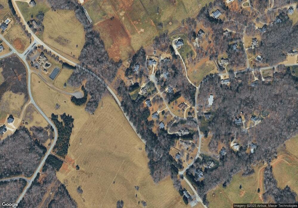
Map
Nearby Homes
- 115 Northridge Dr
- 799 Sweetgrass Dr
- 1831 Bermuda Ave
- 136 Sweetgrass Dr
- 1734 Rabbit Brush Dr
- 815 Sweetgrass Ct
- 865 Sweetgrass Ct
- 877 Sweetgrass Ct
- 1126 Sydney Ln
- 876 Sweetgrass Ct
- 1132 Sydney Ln
- 0 Sweetgrass Dr Unit 7658111
- 0 Sweetgrass Dr Unit 7658113
- 1344 Blue Grass Ct
- 323 Sweetgrass Dr
- 394 Sweetgrass Dr
- 417 Sweetgrass Dr
- 408 Sweetgrass Dr
- 1091 Wind Dance Ct
- 368 Sweetgrass Dr
- 325 Sage St
- 315 Sage St
- 335 Sage St
- 306 Sage St Unit 38
- 306 Sage St
- 311 Sage St
- 357 Sage St
- 537 N Ridge Dr
- 350 Sage St
- 537 Northridge Dr
- 369 Sage St
- 305 Sage St
- 305 Sage St Unit 48
- 340 Sage St Unit 40
- 340 Sage St
- 135 Northridge Dr
- 0 S Fork Dr Unit 8391212
- 4 LOTS S Fork Dr
- 0 S Fork Dr Unit 8000975
- 0 S Fork Dr Unit 71 Plus Ac 8714554