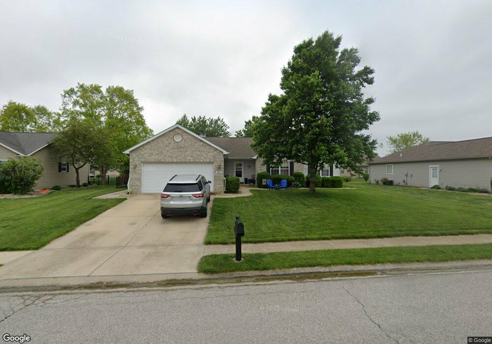
325 Silverthorne Dr Freeburg, IL 62243
Estimated Value: $338,412 - $376,000
3
Beds
3
Baths
1,811
Sq Ft
$199/Sq Ft
Est. Value
About This Home
This home is located at 325 Silverthorne Dr, Freeburg, IL 62243 and is currently estimated at $360,353, approximately $198 per square foot. 325 Silverthorne Dr is a home located in St. Clair County with nearby schools including Freeburg Elementary School, Freeburg Community High School, and St. Joseph Catholic School.
Ownership History
Date
Name
Owned For
Owner Type
Purchase Details
Closed on
Oct 5, 2012
Sold by
Russell Gregory
Bought by
Mcdonald Colin S and Mcdonald Dana R
Current Estimated Value
Home Financials for this Owner
Home Financials are based on the most recent Mortgage that was taken out on this home.
Original Mortgage
$148,000
Outstanding Balance
$102,437
Interest Rate
3.5%
Mortgage Type
New Conventional
Estimated Equity
$257,916
Purchase Details
Closed on
Aug 26, 2008
Sold by
Harsy Cynthia and Russell Cynthia
Bought by
Russell Gregory
Purchase Details
Closed on
Jul 29, 2004
Sold by
Beck Lorren
Bought by
Russell Gregory L and Russell Cynthia
Home Financials for this Owner
Home Financials are based on the most recent Mortgage that was taken out on this home.
Original Mortgage
$138,448
Interest Rate
6.4%
Mortgage Type
Purchase Money Mortgage
Create a Home Valuation Report for This Property
The Home Valuation Report is an in-depth analysis detailing your home's value as well as a comparison with similar homes in the area
Home Values in the Area
Average Home Value in this Area
Purchase History
| Date | Buyer | Sale Price | Title Company |
|---|---|---|---|
| Mcdonald Colin S | $185,000 | Fatic | |
| Russell Gregory | -- | None Available | |
| Russell Gregory L | $173,500 | Pti |
Source: Public Records
Mortgage History
| Date | Status | Borrower | Loan Amount |
|---|---|---|---|
| Open | Mcdonald Colin S | $148,000 | |
| Previous Owner | Russell Gregory L | $138,448 |
Source: Public Records
Tax History Compared to Growth
Tax History
| Year | Tax Paid | Tax Assessment Tax Assessment Total Assessment is a certain percentage of the fair market value that is determined by local assessors to be the total taxable value of land and additions on the property. | Land | Improvement |
|---|---|---|---|---|
| 2024 | $6,031 | $84,040 | $16,122 | $67,918 |
| 2023 | $5,629 | $78,112 | $14,985 | $63,127 |
| 2022 | $5,214 | $71,689 | $13,753 | $57,936 |
| 2021 | $4,964 | $67,504 | $12,950 | $54,554 |
| 2020 | $5,191 | $67,520 | $12,494 | $55,026 |
| 2019 | $5,452 | $67,520 | $12,494 | $55,026 |
| 2018 | $5,246 | $65,155 | $12,056 | $53,099 |
| 2017 | $5,030 | $62,137 | $11,498 | $50,639 |
| 2016 | $5,040 | $60,777 | $12,407 | $48,370 |
| 2014 | $4,327 | $59,808 | $12,209 | $47,599 |
| 2013 | $4,999 | $61,110 | $12,475 | $48,635 |
Source: Public Records
Map
Nearby Homes
- 359 Sleeping Indian Dr
- 222 Alamosa Dr
- 363 Sleeping Indian Dr
- 304 Torrington Ln
- 227 Alamosa Dr
- 433 Foxtail Dr
- 420 Foxtail Dr
- 440 Foxtail Dr
- 302 N Railroad St
- 312 W Phillips St
- 206 N Main St
- 207 N Edison St
- 401 N Edison St
- TBB Kraft Rd
- 520 N Edison St
- 5433 Kraft Rd
- 106 S Vine St
- 3 Park St
- 103 Draco Dr
- 3402 Arbor View Ct
- 321 Silverthorne Dr
- 329 Silverthorne Dr
- 300 Telluride Dr
- 304 Telluride Dr
- 333 Silverthorne Dr
- 317 Silverthorne Dr
- 324 Silverthorne Dr
- 228 Alamosa Dr
- 226 Alamosa Dr
- 328 Silverthorne Dr
- 320 Silverthorne Dr
- 308 Telluride Dr
- 332 Silverthorne Dr
- 313 Silverthorne Dr
- 316 Silverthorne Dr
- 337 Silverthorne Dr
- 235 Alamosa Dr
- 301 Telluride Dr
- 224 Alamosa Dr
- 233 Alamosa Dr Unit 235