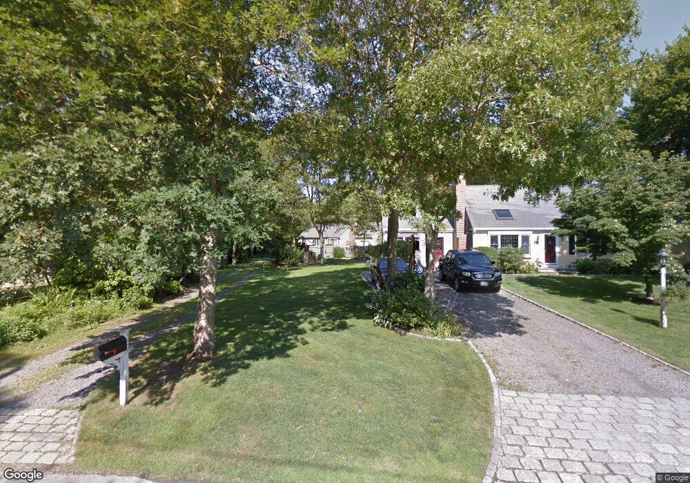
325 Skunknet Rd Centerville, MA 02632
Centerville NeighborhoodEstimated Value: $521,000 - $680,000
3
Beds
2
Baths
1,001
Sq Ft
$591/Sq Ft
Est. Value
About This Home
This home is located at 325 Skunknet Rd, Centerville, MA 02632 and is currently estimated at $591,323, approximately $590 per square foot. 325 Skunknet Rd is a home located in Barnstable County with nearby schools including West Villages Elementary School, Barnstable United Elementary School, and Barnstable Intermediate School.
Ownership History
Date
Name
Owned For
Owner Type
Purchase Details
Closed on
May 6, 2022
Sold by
King Katherine A
Bought by
King Katherine A and Forrister Gary F
Current Estimated Value
Home Financials for this Owner
Home Financials are based on the most recent Mortgage that was taken out on this home.
Original Mortgage
$160,000
Outstanding Balance
$130,420
Interest Rate
3.83%
Mortgage Type
New Conventional
Estimated Equity
$460,903
Purchase Details
Closed on
Sep 27, 2001
Sold by
Hopkins Elsie E
Bought by
King Katherine A
Home Financials for this Owner
Home Financials are based on the most recent Mortgage that was taken out on this home.
Original Mortgage
$150,000
Interest Rate
6.91%
Mortgage Type
Purchase Money Mortgage
Purchase Details
Closed on
Jul 31, 1998
Sold by
Connors Kathryn M
Bought by
Hopkins Elsie K
Create a Home Valuation Report for This Property
The Home Valuation Report is an in-depth analysis detailing your home's value as well as a comparison with similar homes in the area
Home Values in the Area
Average Home Value in this Area
Purchase History
| Date | Buyer | Sale Price | Title Company |
|---|---|---|---|
| King Katherine A | -- | None Available | |
| King Katherine A | -- | None Available | |
| King Katherine A | $194,000 | -- | |
| Hopkins Elsie K | $121,000 | -- | |
| King Katherine A | $194,000 | -- | |
| Hopkins Elsie K | $121,000 | -- |
Source: Public Records
Mortgage History
| Date | Status | Borrower | Loan Amount |
|---|---|---|---|
| Open | King Katherine A | $160,000 | |
| Closed | King Katherine A | $160,000 | |
| Previous Owner | Hopkins Elsie K | $169,000 | |
| Previous Owner | Hopkins Elsie K | $150,000 |
Source: Public Records
Tax History
| Year | Tax Paid | Tax Assessment Tax Assessment Total Assessment is a certain percentage of the fair market value that is determined by local assessors to be the total taxable value of land and additions on the property. | Land | Improvement |
|---|---|---|---|---|
| 2025 | $3,821 | $472,300 | $154,500 | $317,800 |
| 2024 | $3,639 | $466,000 | $154,500 | $311,500 |
| 2023 | $3,428 | $411,000 | $140,500 | $270,500 |
| 2022 | $3,307 | $343,100 | $104,100 | $239,000 |
| 2021 | $3,187 | $303,800 | $104,100 | $199,700 |
| 2020 | $3,286 | $299,800 | $104,100 | $195,700 |
| 2019 | $3,135 | $277,900 | $104,100 | $173,800 |
| 2018 | $2,831 | $252,300 | $109,500 | $142,800 |
| 2017 | $2,646 | $245,900 | $109,500 | $136,400 |
| 2016 | $2,691 | $246,900 | $110,500 | $136,400 |
| 2015 | $2,538 | $233,900 | $107,700 | $126,200 |
Source: Public Records
Map
Nearby Homes
- 315 Prince Hinckley Rd
- 51 Larch Ln
- 1115 Shootflying Hill Rd
- 1309 Shootflying Hill Rd
- 1309 Shootflying Hill Rd
- 352 Nye Rd
- 900 Old Stage Rd
- 169 Cedric Rd
- 436 Nye Rd
- 52 Windlass Ln
- 97 Yacht Club Rd
- 82 Yacht Club Rd
- 87 Foxglove Rd
- 200 Lumbert Mill Rd
- 53 Meadow Farm Rd
- 52 Meadow Farm Rd
- 19 Marrick Ct
- 7 Ebenezer
- 73 Tern Ln
- 159 Willow Run Dr
- 317 Skunknet Rd
- 333 Skunknet Rd
- 88 Zeno Crocker Rd
- 301 Skunknet Rd
- 92 Zeno Crocker Rd
- 307 Skunknet Rd
- 30 Skunknet Rd
- 0 Skunknet Rd
- 54 Zeno Crocker Rd
- 343 Skunknet Rd
- 78 Zeno Crocker Rd
- 102 Zeno Crocker Rd
- 60 Zeno Crocker Rd
- 299 Skunknet Rd
- 298 Stoney Cliff Rd
- 312 Skunknet Rd
- 52 Zeno Crocker Rd
- 353 Skunknet Rd
- 291 Skunknet Rd
- 302 Skunknet Rd
Your Personal Tour Guide
Ask me questions while you tour the home.