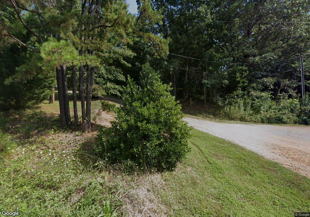
325 Sluder Branch Rd Leicester, NC 28748
Estimated Value: $403,012 - $590,000
3
Beds
2
Baths
1,575
Sq Ft
$299/Sq Ft
Est. Value
About This Home
This home is located at 325 Sluder Branch Rd, Leicester, NC 28748 and is currently estimated at $470,503, approximately $298 per square foot. 325 Sluder Branch Rd is a home located in Buncombe County with nearby schools including Clyde A. Erwin High School, West Buncombe Elementary School, and Clyde A. Erwin Middle School.
Ownership History
Date
Name
Owned For
Owner Type
Purchase Details
Closed on
Nov 8, 2024
Sold by
Yesterday Spaces At Sluder Branch Farm L
Bought by
Mary Christine Panasiti Grier Revocable Trust and Grier
Current Estimated Value
Purchase Details
Closed on
Sep 10, 2013
Sold by
Riesenberg Mary L
Bought by
Yesterday Spaces At Sluder Branch Farm L
Purchase Details
Closed on
Apr 29, 1998
Sold by
Riesenberg Dr William and Riesenberg Mary L
Bought by
Riesenberg Dr William C and Riesenberg Mary L
Create a Home Valuation Report for This Property
The Home Valuation Report is an in-depth analysis detailing your home's value as well as a comparison with similar homes in the area
Home Values in the Area
Average Home Value in this Area
Purchase History
| Date | Buyer | Sale Price | Title Company |
|---|---|---|---|
| Mary Christine Panasiti Grier Revocable Trust | -- | None Listed On Document | |
| Yesterday Spaces At Sluder Branch Farm L | $275,000 | None Available | |
| Riesenberg Dr William C | -- | -- |
Source: Public Records
Tax History Compared to Growth
Tax History
| Year | Tax Paid | Tax Assessment Tax Assessment Total Assessment is a certain percentage of the fair market value that is determined by local assessors to be the total taxable value of land and additions on the property. | Land | Improvement |
|---|---|---|---|---|
| 2025 | $1,631 | $247,900 | $18,000 | $229,900 |
| 2024 | $1,631 | $247,900 | $33,000 | $214,900 |
| 2023 | $1,631 | $247,900 | $33,000 | $214,900 |
| 2022 | $1,558 | $247,900 | $0 | $0 |
| 2021 | $1,558 | $247,900 | $0 | $0 |
| 2020 | $1,362 | $203,600 | $0 | $0 |
| 2019 | $1,362 | $203,600 | $0 | $0 |
| 2018 | $1,362 | $203,600 | $0 | $0 |
| 2017 | $1,382 | $172,100 | $0 | $0 |
| 2016 | $1,280 | $172,100 | $0 | $0 |
| 2015 | $1,280 | $172,100 | $0 | $0 |
| 2014 | $1,200 | $168,000 | $0 | $0 |
Source: Public Records
Map
Nearby Homes
- 305 & 317 Sluder Branch Rd
- 16 Lawson Ridge Rd
- 99999 Lawson Ridge Rd Unit 13
- 99999 Lawson Ridge Rd Unit 11
- 11 Beech Crest Rise None
- 41 Alaskan Dr
- 52 Temujin Dr
- 49 Temujin Dr
- 7 Grizzly Dr
- 48 Sherry Ln
- 207 Emily Ln
- 4 Carter Hill Dr
- 40 Mountain Shadows Dr
- 218 W Walt Haven Dr
- 21 & 24 Betty Dr
- 2755 New Leicester Hwy
- 83 Overlook Dr
- 1293 Bear Creek Rd
- Lot 4 Quiet Woods Dr
- 124 Shadow View Dr
- 317 Sluder Branch Rd
- 305 Sluder Branch Rd
- 300 Sluder Branch Rd
- 298 Sluder Branch Rd
- 30 Cricket Ln
- 285 Sluder Branch Rd
- 31 Israel Rd
- 273 Sluder Branch Rd
- 51 Lawson Ridge Rd
- 36 Wessolleck Dr
- 65 Lawson Ridge Rd
- 82 Red Rock Dr
- 15 Wessolleck Dr
- 15 Willa Way
- 19 Dennie Ln
- 38 Wessolleck Dr
- 59 Lawson Ridge Rd Unit 14
- 6 Wessolleck Dr
- 25 Dennie Ln
- 78 Red Rock Dr
