325 SW 601st Rd Centerview, MO 64019
Estimated Value: $103,414 - $294,000
Studio
--
Bath
1,548
Sq Ft
$134/Sq Ft
Est. Value
About This Home
This home is located at 325 SW 601st Rd, Centerview, MO 64019 and is currently estimated at $206,805, approximately $133 per square foot. 325 SW 601st Rd is a home located in Johnson County with nearby schools including Crest Ridge Elementary School and Crest Ridge High School.
Ownership History
Date
Name
Owned For
Owner Type
Purchase Details
Closed on
Mar 9, 2026
Sold by
Book Randy & Sheryl
Bought by
Newton Julie
Current Estimated Value
Purchase Details
Closed on
Oct 6, 2007
Sold by
Book Randy and Book Sheryl
Bought by
Martin Larry E and Martin Jean M
Home Financials for this Owner
Home Financials are based on the most recent Mortgage that was taken out on this home.
Original Mortgage
$20,000
Interest Rate
6.69%
Mortgage Type
Credit Line Revolving
Purchase Details
Closed on
Oct 3, 2007
Sold by
Martin Larry E and Martin Jena M
Bought by
Book Randy and Book Sheryl
Home Financials for this Owner
Home Financials are based on the most recent Mortgage that was taken out on this home.
Original Mortgage
$20,000
Interest Rate
6.69%
Mortgage Type
Credit Line Revolving
Purchase Details
Closed on
Aug 13, 2007
Sold by
Martin Larry E and Martin Jean M
Bought by
Book Randy and Book Sheryl
Home Financials for this Owner
Home Financials are based on the most recent Mortgage that was taken out on this home.
Original Mortgage
$20,000
Interest Rate
6.69%
Mortgage Type
Credit Line Revolving
Create a Home Valuation Report for This Property
The Home Valuation Report is an in-depth analysis detailing your home's value as well as a comparison with similar homes in the area
Purchase History
| Date | Buyer | Sale Price | Title Company |
|---|---|---|---|
| Newton Julie | -- | Coffelt Land Title | |
| Martin Larry E | -- | -- | |
| Book Randy | -- | -- | |
| Book Randy | -- | -- |
Source: Public Records
Mortgage History
| Date | Status | Borrower | Loan Amount |
|---|---|---|---|
| Previous Owner | Book Randy | $20,000 |
Source: Public Records
Tax History
| Year | Tax Paid | Tax Assessment Tax Assessment Total Assessment is a certain percentage of the fair market value that is determined by local assessors to be the total taxable value of land and additions on the property. | Land | Improvement |
|---|---|---|---|---|
| 2025 | $410 | $6,127 | $0 | $0 |
| 2024 | $410 | $5,637 | $0 | $0 |
| 2023 | $385 | $5,637 | $0 | $0 |
| 2022 | $372 | $5,412 | $0 | $0 |
| 2021 | $369 | $5,412 | $0 | $0 |
| 2020 | $356 | $5,185 | $0 | $0 |
| 2019 | $350 | $5,185 | $0 | $0 |
| 2017 | $337 | $5,190 | $0 | $0 |
| 2016 | $336 | $5,190 | $0 | $0 |
| 2015 | $334 | $5,190 | $0 | $0 |
| 2014 | $333 | $5,184 | $0 | $0 |
Source: Public Records
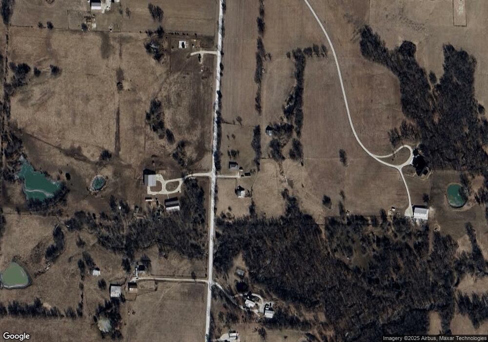
Map
Nearby Homes
- 457 State Route F
- 65 SW 150th Rd
- 66 SW 150th Rd
- 0 Rd
- 0 Lot 5 Tbd 500 Rd
- 0 Lot 2 Tbd 500 Rd
- 0 Lot 1 Tbd 500 Rd
- 000 SW 100th Rd
- 52 401st (North 65) Rd
- TBD Lot 7 491st Rd
- 0 Tbd Lot 2 491st Rd
- 26 SW 491st Rd
- 64 SW 401st Rd
- 245 SW 400th Rd
- 786 NW 100th Rd
- 120 SW County Road U
- 507 NW 165th Rd
- 720 SW 800th Rd
- 359 SW 101st Rd
- 271 NW 75 Rd
- 331 SW 601st Rd
- 316 SW 601st Rd
- 332 SW 601st Rd
- 588 SW 300th Rd
- 620 SW 300th Rd
- 349 SW 601st Rd
- 581 SW 300th Rd
- 353 SW 601st Rd
- 560 SW 300th Rd
- 285 SW 601st Rd
- 625 SW 300th Rd
- 651 SW State Route 58
- 0 SW 601st Rd
- 254 SW 601st Rd
- 271 SW 601st Rd
- 394 SW 601st Rd
- 586 SW State Route 58
- 551 SW State Route 58
- 252 SW 601st Rd
- 248 SW 601st Rd
Your Personal Tour Guide
Ask me questions while you tour the home.