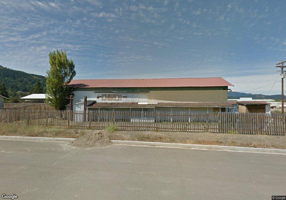
325 SW Hutchins St Sutherlin, OR 97479
Estimated Value: $153,384
--
Bed
--
Bath
2,430
Sq Ft
$63/Sq Ft
Est. Value
About This Home
This home is located at 325 SW Hutchins St, Sutherlin, OR 97479 and is currently estimated at $153,384, approximately $63 per square foot. 325 SW Hutchins St is a home located in Douglas County with nearby schools including East Sutherlin Primary School, West Sutherlin Intermediate School, and Sutherlin Middle School.
Ownership History
Date
Name
Owned For
Owner Type
Purchase Details
Closed on
Oct 16, 2024
Sold by
Mcdowell Calvin Ambrose
Bought by
Crabtree Roger G and Crabtree Joyce J
Current Estimated Value
Purchase Details
Closed on
Jul 16, 2006
Sold by
Hutchins Roberta
Bought by
Tabernacle Of God Inc
Purchase Details
Closed on
Jul 5, 2006
Sold by
S A Hutchins & Associates Const Co
Bought by
Hutchins Roberta
Purchase Details
Closed on
Jun 29, 2006
Sold by
Bebeau Ramona I
Bought by
Hutchins Roberta
Create a Home Valuation Report for This Property
The Home Valuation Report is an in-depth analysis detailing your home's value as well as a comparison with similar homes in the area
Home Values in the Area
Average Home Value in this Area
Purchase History
| Date | Buyer | Sale Price | Title Company |
|---|---|---|---|
| Crabtree Roger G | $150,000 | First American Title | |
| Tabernacle Of God Inc | -- | Amerititle Inc | |
| Hutchins Roberta | -- | Amerititle Inc | |
| Hutchins Roberta | -- | Amerititle Inc |
Source: Public Records
Tax History Compared to Growth
Tax History
| Year | Tax Paid | Tax Assessment Tax Assessment Total Assessment is a certain percentage of the fair market value that is determined by local assessors to be the total taxable value of land and additions on the property. | Land | Improvement |
|---|---|---|---|---|
| 2025 | $567 | $47,729 | -- | -- |
| 2024 | $554 | $46,339 | -- | -- |
| 2023 | $538 | $44,990 | $20,690 | $24,300 |
| 2022 | $539 | $44,990 | $0 | $0 |
| 2021 | $539 | $44,990 | $0 | $0 |
| 2020 | $536 | $44,990 | $0 | $0 |
| 2019 | $536 | $44,990 | $0 | $0 |
| 2018 | $536 | $44,990 | $0 | $0 |
| 2017 | $558 | $44,173 | $0 | $0 |
| 2016 | $542 | $42,887 | $0 | $0 |
| 2015 | $526 | $41,638 | $0 | $0 |
| 2014 | -- | $0 | $0 | $0 |
| 2013 | -- | $0 | $0 | $0 |
Source: Public Records
Map
Nearby Homes
- 181 SW Hutchins St
- 1688 W Central Ave
- 1907 W Duke Rd
- 324 Dakota St
- 142 S Comstock Ave
- 135 Elkton St
- 126 Coles Valley St
- 154 Coles Valley St
- 149 Coles Valley St
- 1878 Trails End Ln
- 165 Robinson St
- 401 N Comstock Ave
- 1660 Scardi Blvd
- 1716 Scardi Blvd Unit 174
- 226 Miller St
- 220 Miller St
- 351 Ashwood St
- 702 Divot Loop
- 2657 Greyfox Dr
- 300 Ridgeway St
- 460 Quentyn St
- 411 Quentyn St
- 439 Quentyn St
- 457 Quentyn St
- 463 Quentyn St
- 1649 W Duke Rd
- 471 Quentyn St
- 367 Park Hill Ln
- 1637 Duke Ave
- 1637 SW Duke Rd
- 1711 W Duke Rd
- 1727 W Duke Rd
- 485 Quentyn St
- 212 Park Hill Ln
- 1719 W Duke Rd
- 1755 W Duke Rd
- 190 SW Hutchins St
- 1779 Duke Ave
- 1779 SW Duke Rd
- 1646 W Duke Ave