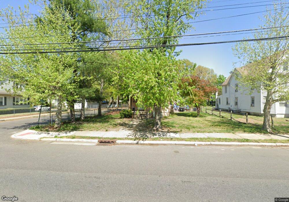
325 W Broad St Paulsboro, NJ 08066
Estimated Value: $181,000 - $269,000
--
Bed
--
Bath
1,632
Sq Ft
$134/Sq Ft
Est. Value
About This Home
This home is located at 325 W Broad St, Paulsboro, NJ 08066 and is currently estimated at $217,994, approximately $133 per square foot. 325 W Broad St is a home located in Gloucester County with nearby schools including Billingsport Elementary School, Loudenslager Elementary School, and Paulsboro High School.
Ownership History
Date
Name
Owned For
Owner Type
Purchase Details
Closed on
Jul 16, 2024
Sold by
Gjs Ventures Llc
Bought by
Ds Brothers Llc
Current Estimated Value
Purchase Details
Closed on
Jan 20, 2006
Sold by
Gloria Deangelo and Gloria Est
Bought by
Top Shelf M & D Inc
Create a Home Valuation Report for This Property
The Home Valuation Report is an in-depth analysis detailing your home's value as well as a comparison with similar homes in the area
Home Values in the Area
Average Home Value in this Area
Purchase History
| Date | Buyer | Sale Price | Title Company |
|---|---|---|---|
| Ds Brothers Llc | $175,000 | Pittman Title & Escrow | |
| Top Shelf M & D Inc | $119,000 | -- |
Source: Public Records
Tax History Compared to Growth
Tax History
| Year | Tax Paid | Tax Assessment Tax Assessment Total Assessment is a certain percentage of the fair market value that is determined by local assessors to be the total taxable value of land and additions on the property. | Land | Improvement |
|---|---|---|---|---|
| 2025 | $4,686 | $106,500 | $12,600 | $93,900 |
| 2024 | $4,682 | $106,500 | $12,600 | $93,900 |
| 2023 | $4,682 | $106,500 | $12,600 | $93,900 |
| 2022 | $4,597 | $106,500 | $12,600 | $93,900 |
| 2021 | $4,507 | $106,500 | $12,600 | $93,900 |
| 2020 | $4,479 | $106,500 | $12,600 | $93,900 |
| 2019 | $4,339 | $106,500 | $12,600 | $93,900 |
| 2018 | $4,091 | $106,500 | $12,600 | $93,900 |
| 2017 | $4,074 | $106,500 | $12,600 | $93,900 |
| 2016 | $3,881 | $106,500 | $12,600 | $93,900 |
| 2015 | $3,859 | $106,500 | $12,600 | $93,900 |
| 2014 | $3,856 | $114,500 | $15,900 | $98,600 |
Source: Public Records
Map
Nearby Homes
- L18 20 W Broad St
- 269 W Broad St
- 335 W Buck St
- 344 W Washington St
- 227 W Buck St
- 1043 Penn Line Rd
- 255 Elizabeth Ave
- 219 Vanneman Blvd
- 122 W Washington St
- 129 W Washington St
- 1519 Pine St
- 1534 Pine St
- 140 142 W Jefferson St
- 28 W Jefferson St
- 21 W Adams St
- 11 W Washington St
- 1214 Walter Ave
- 1224 Heddon Ave
- 836 E Broad St
- 46 Roosevelt St
- 319 W Broad St
- 315 W Broad St
- 403 W Broad St
- 18 20 W Broad St
- 309 W Broad St
- 1316 Penn Line Rd
- 405 W Broad St
- 1317 Penn Line Rd
- 305 W Broad St
- 409 W Broad St
- 0 W Broad St Unit 1004778829
- 322 W Broad St
- 316 W Broad St
- 1311 Penn Line Rd
- 326 W Broad St
- 312 W Broad St
- 300 W Buck St
- 322 W Buck St
- 301 W Broad St
- 330 W Broad St