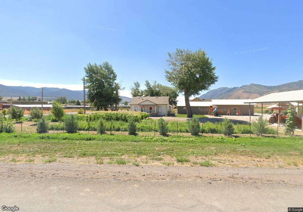
325 W Center St Scipio, UT 84656
--
Bed
--
Bath
--
Sq Ft
23.73
Acres Lot
About This Home
This home is located at 325 W Center St, Scipio, UT 84656. 325 W Center St is a home located in Millard County.
Create a Home Valuation Report for This Property
The Home Valuation Report is an in-depth analysis detailing your home's value as well as a comparison with similar homes in the area
Tax History
| Year | Tax Paid | Tax Assessment Tax Assessment Total Assessment is a certain percentage of the fair market value that is determined by local assessors to be the total taxable value of land and additions on the property. | Land | Improvement |
|---|---|---|---|---|
| 2024 | $166,464 | $166,464 | $26,117 | $140,347 |
| 2023 | $1,548 | $166,464 | $26,117 | $140,347 |
| 2022 | $1,244 | $114,104 | $26,116 | $87,988 |
| 2021 | $1,138 | $100,174 | $19,475 | $80,699 |
| 2020 | $1,049 | $93,030 | $17,000 | $76,030 |
| 2019 | $951 | $84,632 | $17,000 | $67,632 |
| 2018 | $929 | $84,632 | $17,000 | $67,632 |
| 2017 | $972 | $84,632 | $17,000 | $67,632 |
| 2016 | $1,692 | $153,220 | $30,235 | $122,985 |
| 2015 | $1,693 | $153,220 | $0 | $153,220 |
| 2014 | -- | $145,732 | $0 | $145,732 |
| 2013 | -- | $145,747 | $0 | $145,747 |
Source: Public Records
Map
Nearby Homes
- 7 N 200 W
- 40 S State St
- 135 S State St
- 2000 N 500 W
- 575 N Deer Meadow Dr
- 164 W 200 North Rd
- 445 S Main St
- 405 S 100 East St Unit 4
- 400 S 100 East St Unit 5
- 41 N 450 W
- 211 W 100 S
- 36 W 100 S
- 21 N 450 W
- 40 N 450 W
- 91 S 450 W
- 155 S 200 W
- Parcel 4609 4609x1 4609x2
- 11260 W 10100 S Unit 3
- 11800 N 1000 East St
- 1000 S Foothill Blvd
- 425 W Center St
- 425 Center St
- 350 W Center St
- 298 W Center St
- 200 West St
- 206 W Center St
- 195 W Center St
- 130 S 200 W
- 205 W Center St
- 155 W Center St
- 200 S S 200 West St St W
- 200 S S 200 West St St W
- 235 S 300 W
- 105 W Center St
- 110 W Center St
- 110 S 100 Rd W
- 85 N 100 W
- 0 S1 2 Lot 4 Block 5 Platt A Unit 95002
- 0 S1 2 Lot 4 Block 5 Platt A Unit 21-224939
- 95 W Center St
Your Personal Tour Guide
Ask me questions while you tour the home.