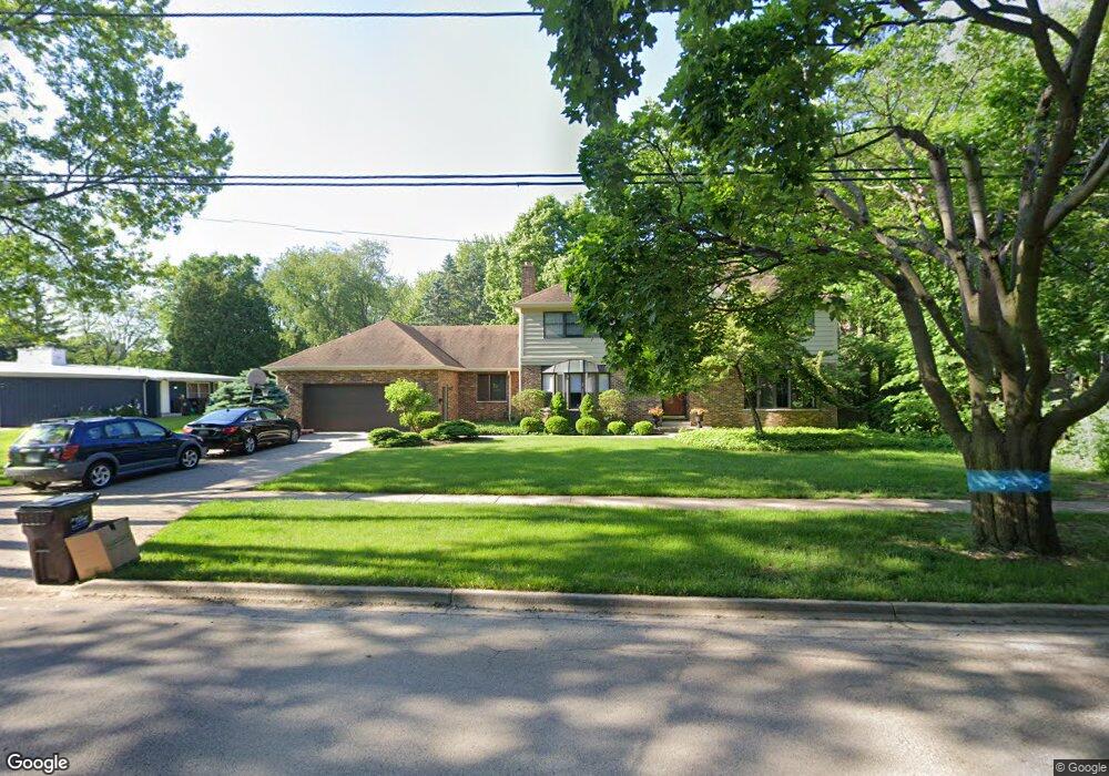
325 W Woodstock St Crystal Lake, IL 60014
Estimated Value: $575,000 - $658,000
4
Beds
6
Baths
3,388
Sq Ft
$184/Sq Ft
Est. Value
About This Home
This home is located at 325 W Woodstock St, Crystal Lake, IL 60014 and is currently estimated at $623,393, approximately $184 per square foot. 325 W Woodstock St is a home located in McHenry County with nearby schools including North Elementary School, Richard F Bernotas Middle School, and Crystal Lake Central High School.
Ownership History
Date
Name
Owned For
Owner Type
Purchase Details
Closed on
May 7, 2024
Sold by
Schmit Anthony M and Schmit Catie L
Bought by
Anthony And Catie Schmit Trust and Schmit
Current Estimated Value
Purchase Details
Closed on
Dec 10, 2005
Sold by
Eissing Erwin J and Eissing Eleanor
Home Financials for this Owner
Home Financials are based on the most recent Mortgage that was taken out on this home.
Original Mortgage
$320,800
Interest Rate
6.12%
Mortgage Type
Unknown
Create a Home Valuation Report for This Property
The Home Valuation Report is an in-depth analysis detailing your home's value as well as a comparison with similar homes in the area
Home Values in the Area
Average Home Value in this Area
Purchase History
| Date | Buyer | Sale Price | Title Company |
|---|---|---|---|
| Anthony And Catie Schmit Trust | -- | None Listed On Document | |
| -- | $401,000 | Nlt Title Llc |
Source: Public Records
Mortgage History
| Date | Status | Borrower | Loan Amount |
|---|---|---|---|
| Previous Owner | -- | $320,800 |
Source: Public Records
Tax History Compared to Growth
Tax History
| Year | Tax Paid | Tax Assessment Tax Assessment Total Assessment is a certain percentage of the fair market value that is determined by local assessors to be the total taxable value of land and additions on the property. | Land | Improvement |
|---|---|---|---|---|
| 2024 | $14,339 | $175,368 | $27,625 | $147,743 |
| 2023 | $13,921 | $157,267 | $24,774 | $132,493 |
| 2022 | $13,234 | $143,820 | $22,656 | $121,164 |
| 2021 | $12,628 | $134,839 | $21,241 | $113,598 |
| 2020 | $12,397 | $130,797 | $20,604 | $110,193 |
| 2019 | $12,012 | $124,355 | $19,589 | $104,766 |
| 2018 | $12,155 | $123,482 | $19,052 | $104,430 |
| 2017 | $12,309 | $118,301 | $18,253 | $100,048 |
| 2016 | $12,218 | $112,872 | $17,415 | $95,457 |
| 2013 | -- | $107,419 | $16,573 | $90,846 |
Source: Public Records
Map
Nearby Homes
- 100 Pine Ct
- 323 W Crystal Lake Ave
- 200 W Woodstock St
- 195 Peterson Pkwy
- 84 Elmhurst St
- 130 S Virginia St
- 191 S Virginia St
- 132 S Mchenry Ave
- 277 Church St
- 9610 Illinois 176
- 84 N Walkup Ave
- 56 S Caroline St
- 90 W Franklin Ave
- 328 Crystal Ridge Dr
- 40 S Walkup Ave
- 193 Lake Ct
- 7615 W Andrea Ln
- 185 Cascade Dr
- 179 Cascade Dr
- 458 Lake Ave
- 311 W Woodstock St
- 333 W Woodstock St
- 120 Lincoln Pkwy
- 301 W Woodstock St
- 320 W Woodstock St
- 110 Lincoln Pkwy
- 100 Lincoln Pkwy
- 347 W Woodstock St
- 344 W Woodstock St
- 134 Lincoln Pkwy
- 96 Lincoln Pkwy
- 295 W Woodstock St
- 88 Lincoln Pkwy
- 352 W Woodstock St
- 381 W Woodstock St
- 144 Lincoln Pkwy
- 111 Lincoln Pkwy
- 290 W Woodstock St
- 281 W Woodstock St
- 107 Lincoln Pkwy