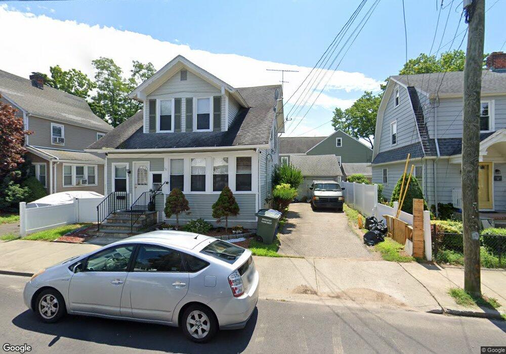
325 Wade St Bridgeport, CT 06604
Brooklawn-Saint Vincent NeighborhoodEstimated Value: $344,000 - $456,000
3
Beds
2
Baths
1,348
Sq Ft
$291/Sq Ft
Est. Value
About This Home
This home is located at 325 Wade St, Bridgeport, CT 06604 and is currently estimated at $392,408, approximately $291 per square foot. 325 Wade St is a home located in Fairfield County with nearby schools including Geraldine Johnson School, Bassick High School, and Catholic Academy of Bridgeport-St. Raphael Academy.
Ownership History
Date
Name
Owned For
Owner Type
Purchase Details
Closed on
Jan 26, 2005
Sold by
Diera Dev Llc
Bought by
Dumono Morly
Current Estimated Value
Home Financials for this Owner
Home Financials are based on the most recent Mortgage that was taken out on this home.
Original Mortgage
$218,500
Outstanding Balance
$110,475
Interest Rate
5.67%
Mortgage Type
Purchase Money Mortgage
Estimated Equity
$281,933
Create a Home Valuation Report for This Property
The Home Valuation Report is an in-depth analysis detailing your home's value as well as a comparison with similar homes in the area
Home Values in the Area
Average Home Value in this Area
Purchase History
| Date | Buyer | Sale Price | Title Company |
|---|---|---|---|
| Dumono Morly | $230,000 | -- | |
| Dumono Morly | $230,000 | -- |
Source: Public Records
Mortgage History
| Date | Status | Borrower | Loan Amount |
|---|---|---|---|
| Open | Dumono Morly | $218,500 | |
| Closed | Dumono Morly | $218,500 |
Source: Public Records
Tax History Compared to Growth
Tax History
| Year | Tax Paid | Tax Assessment Tax Assessment Total Assessment is a certain percentage of the fair market value that is determined by local assessors to be the total taxable value of land and additions on the property. | Land | Improvement |
|---|---|---|---|---|
| 2025 | $6,096 | $140,310 | $66,580 | $73,730 |
| 2024 | $6,096 | $140,310 | $66,580 | $73,730 |
| 2023 | $6,096 | $140,310 | $66,580 | $73,730 |
| 2022 | $6,096 | $140,310 | $66,580 | $73,730 |
| 2021 | $6,096 | $140,310 | $66,580 | $73,730 |
| 2020 | $5,776 | $106,990 | $40,360 | $66,630 |
| 2019 | $5,776 | $106,990 | $40,360 | $66,630 |
| 2018 | $5,817 | $106,990 | $40,360 | $66,630 |
| 2017 | $5,817 | $106,990 | $40,360 | $66,630 |
| 2016 | $5,817 | $106,990 | $40,360 | $66,630 |
| 2015 | $5,398 | $127,920 | $44,770 | $83,150 |
| 2014 | $5,398 | $127,920 | $44,770 | $83,150 |
Source: Public Records
Map
Nearby Homes
- 665 W Taft Ave
- 184 Pacific St
- 687 Wood Ave
- 1213 Wood Ave
- 1872 North Ave Unit 1874
- 605 Brooklawn Ave
- 860 Briarwood Ave
- 1480 Capitol Ave Unit 811
- 566 Wood Ave
- 2370 North Ave Unit 4C
- 2370 North Ave Unit 12G
- 2370 North Ave Unit 3F
- 2345 Park Ave
- 356 Taft Ave
- 100 Lorraine St
- 80 Cartright St Unit 8J
- 80 Cartright St Unit 2F
- 80 Cartright St Unit GC
- 80 Cartright St Unit 8B
- 1275 Capitol Ave