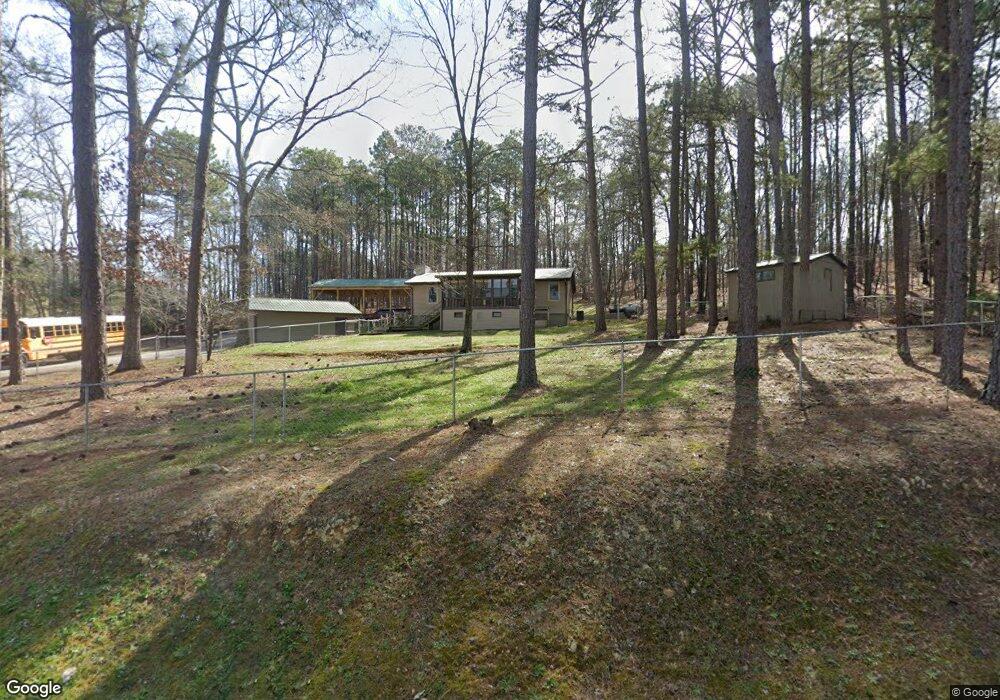
325 Wooten Rd Cedartown, GA 30125
Estimated Value: $198,000 - $315,784
2
Beds
1
Bath
1,317
Sq Ft
$181/Sq Ft
Est. Value
About This Home
This home is located at 325 Wooten Rd, Cedartown, GA 30125 and is currently estimated at $238,946, approximately $181 per square foot. 325 Wooten Rd is a home located in Polk County.
Ownership History
Date
Name
Owned For
Owner Type
Purchase Details
Closed on
Dec 2, 2011
Sold by
Owens Kelly Lamar
Bought by
Owens Kelly Lamar
Current Estimated Value
Purchase Details
Closed on
Sep 14, 2009
Sold by
Piotrowski Virginia C D
Bought by
Owens Kelley Lamar
Purchase Details
Closed on
Jun 16, 2009
Sold by
Piotrowski Ellwood*
Bought by
Kowalski Gerri J P **
Purchase Details
Closed on
Sep 15, 1988
Sold by
Harrell Ronalddennis
Bought by
Piotrowski Ellwood
Purchase Details
Closed on
Jun 21, 1986
Bought by
Harrell Ronald D
Create a Home Valuation Report for This Property
The Home Valuation Report is an in-depth analysis detailing your home's value as well as a comparison with similar homes in the area
Home Values in the Area
Average Home Value in this Area
Purchase History
| Date | Buyer | Sale Price | Title Company |
|---|---|---|---|
| Owens Kelly Lamar | -- | -- | |
| Owens Kelley Lamar | $85,000 | -- | |
| Piotrowski Virginia C D | -- | -- | |
| Owens Kelley Lamar | $85,000 | -- | |
| Piotrowski Virginia C D | -- | -- | |
| Kowalski Gerri J P ** | -- | -- | |
| Piotrowski Ellwood | $42,900 | -- | |
| Harrell Ronald D | -- | -- |
Source: Public Records
Tax History Compared to Growth
Tax History
| Year | Tax Paid | Tax Assessment Tax Assessment Total Assessment is a certain percentage of the fair market value that is determined by local assessors to be the total taxable value of land and additions on the property. | Land | Improvement |
|---|---|---|---|---|
| 2024 | $1,401 | $69,006 | $5,630 | $63,376 |
| 2023 | $1,063 | $46,788 | $5,630 | $41,158 |
| 2022 | $887 | $39,365 | $3,754 | $35,611 |
| 2021 | $898 | $39,365 | $3,754 | $35,611 |
| 2020 | $900 | $39,365 | $3,754 | $35,611 |
| 2019 | $886 | $34,979 | $3,754 | $31,225 |
| 2018 | $884 | $34,086 | $3,754 | $30,332 |
| 2017 | $873 | $34,086 | $3,754 | $30,332 |
| 2016 | $923 | $35,928 | $5,596 | $30,332 |
| 2015 | $931 | $36,113 | $5,596 | $30,516 |
| 2014 | $938 | $36,113 | $5,596 | $30,516 |
Source: Public Records
Map
Nearby Homes
- 1838 Antioch Rd
- 160 Tate Rd
- 45 York Cir
- 176 Runyon Loop
- 766 Antioch Rd
- 0 Youngs Farm Rd Unit 24829378
- 0 Buchanan Hwy Unit 10558945
- 0 Runyon Loop Unit 10606366
- 0 Runyon Loop Unit 7650113
- 102 acres Youngs Farm Rd
- 255 Mildred Dr
- 95 Wieuca Way
- 4550 Buchanan Hwy
- 480 Cason Rd
- 9236 Tallapoosa Hwy
- 000 Wieuca Way
- 0 Wieuca Way Unit 10614129
- 142 Acres On Judkin Mill Rd
- 0 Coaling Rd Unit 9221-D 10352096
- 0 Coaling Rd Unit 9221-C 10352086