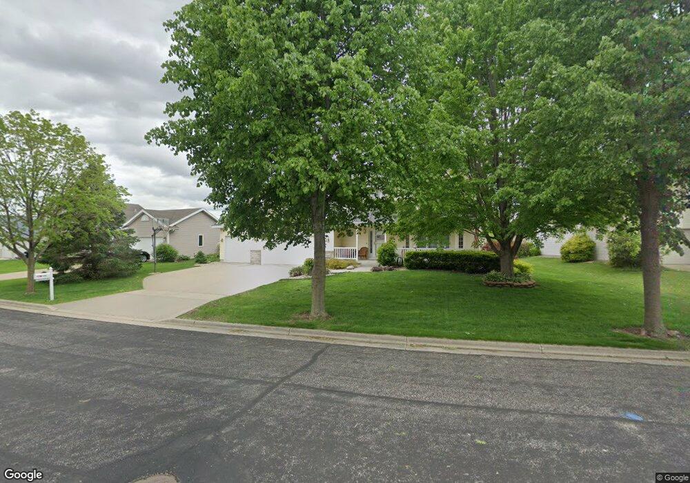
325 Yorktown Rd de Forest, WI 53532
Estimated Value: $459,000 - $498,000
--
Bed
--
Bath
--
Sq Ft
0.31
Acres
About This Home
This home is located at 325 Yorktown Rd, de Forest, WI 53532 and is currently estimated at $479,458. 325 Yorktown Rd is a home located in Dane County with nearby schools including Eagle Point Elementary School, DeForest Middle School, and DeForest High School.
Ownership History
Date
Name
Owned For
Owner Type
Purchase Details
Closed on
Dec 29, 2006
Sold by
Primacy Closing Corp
Bought by
Sisco David A and Au Lynn G
Current Estimated Value
Home Financials for this Owner
Home Financials are based on the most recent Mortgage that was taken out on this home.
Original Mortgage
$245,000
Outstanding Balance
$146,899
Interest Rate
6.27%
Mortgage Type
Purchase Money Mortgage
Estimated Equity
$332,559
Create a Home Valuation Report for This Property
The Home Valuation Report is an in-depth analysis detailing your home's value as well as a comparison with similar homes in the area
Home Values in the Area
Average Home Value in this Area
Purchase History
| Date | Buyer | Sale Price | Title Company |
|---|---|---|---|
| Sisco David A | $267,000 | None Available | |
| Primacy Closing Corp | $267,000 | None Available |
Source: Public Records
Mortgage History
| Date | Status | Borrower | Loan Amount |
|---|---|---|---|
| Open | Sisco David A | $245,000 |
Source: Public Records
Tax History Compared to Growth
Tax History
| Year | Tax Paid | Tax Assessment Tax Assessment Total Assessment is a certain percentage of the fair market value that is determined by local assessors to be the total taxable value of land and additions on the property. | Land | Improvement |
|---|---|---|---|---|
| 2024 | $6,777 | $411,400 | $90,700 | $320,700 |
| 2023 | $6,890 | $394,800 | $90,700 | $304,100 |
| 2021 | $6,634 | $326,400 | $73,700 | $252,700 |
| 2020 | $6,773 | $319,700 | $71,800 | $247,900 |
| 2019 | $6,431 | $306,100 | $71,800 | $234,300 |
| 2018 | $5,642 | $272,500 | $71,800 | $200,700 |
| 2017 | $5,390 | $272,500 | $71,800 | $200,700 |
| 2016 | $5,444 | $272,500 | $71,800 | $200,700 |
| 2015 | $5,335 | $249,600 | $60,200 | $189,400 |
| 2014 | $5,244 | $249,600 | $60,200 | $189,400 |
| 2013 | $5,548 | $249,600 | $60,200 | $189,400 |
Source: Public Records
Map
Nearby Homes
- 322 Yorktown Rd
- 394 Blackberry Ln
- 33.5 Ac River Rd
- L1 Liuna Way
- 4041 Bear Tree Pkwy
- 4049 Bear Tree Pkwy
- 809 Southbound Dr
- 6708 Yahara Springs Ct
- 4615 Bellflower Dr
- 520 E Holum St
- 392 Campbell Hill Ct
- 396 Campbell Hill Ct
- 216 Sanford Dr
- 524 Park Ave
- 528 Park Ave
- 612 Park Ave
- Lot 413 Whistle Rock Cir
- 549 Yahara St
- 401 N Stevenson St
- 939 Lavender Way
- 325 Yorktown Rd
- 323 Yorktown Rd
- 327 Yorktown Rd
- 322 Burl Oak Dr
- 320 Burl Oak Dr
- 321 Yorktown Rd
- 324 Burl Oak Dr
- 329 Yorktown Rd
- 324 Yorktown Rd
- 326 Yorktown Rd
- 320 Yorktown Rd
- 318 Burl Oak Dr
- 328 Yorktown Rd
- 326 Burl Oak Dr
- 319 Yorktown Rd
- 331 Yorktown Rd
- 316 Burl Oak Dr
- 407 Field Terrace Ct
- 330 Yorktown Rd
- 328 Burl Oak Dr