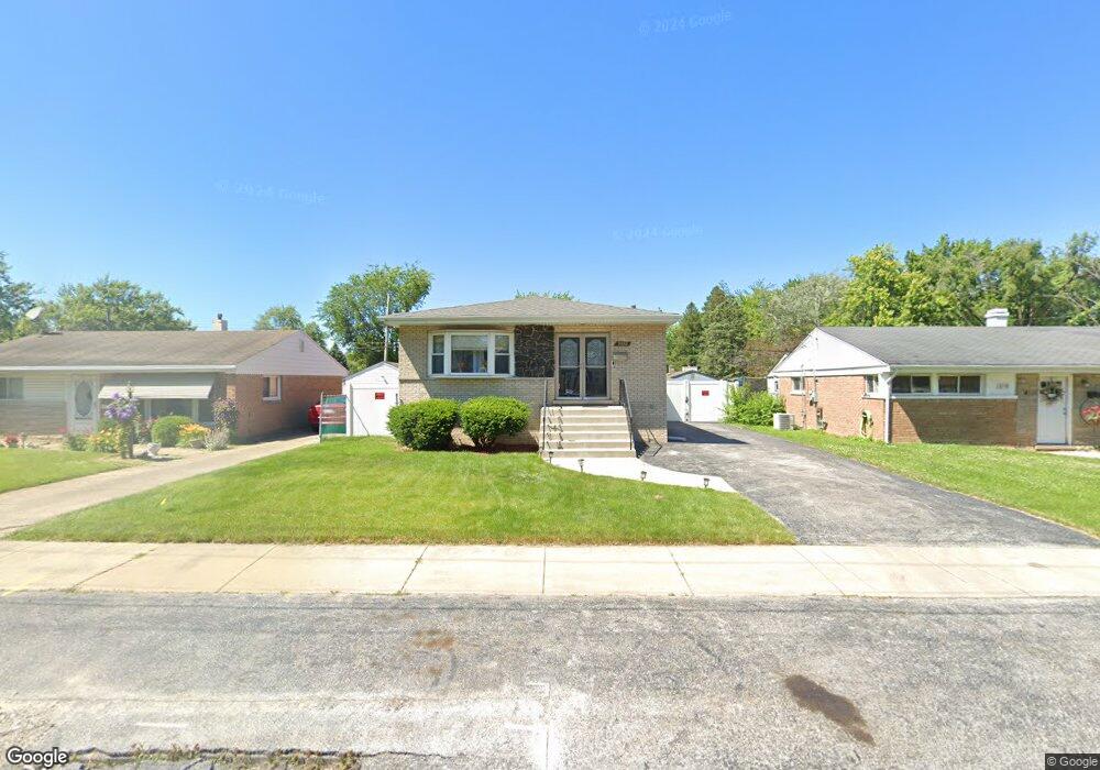
3250 Bernice Rd Lansing, IL 60438
Estimated Value: $206,263 - $286,000
4
Beds
3
Baths
1,297
Sq Ft
$180/Sq Ft
Est. Value
About This Home
This home is located at 3250 Bernice Rd, Lansing, IL 60438 and is currently estimated at $234,066, approximately $180 per square foot. 3250 Bernice Rd is a home located in Cook County with nearby schools including Reavis Elementary School, Memorial Jr High School, and Thornton Fractnl So High School.
Ownership History
Date
Name
Owned For
Owner Type
Purchase Details
Closed on
May 5, 2022
Sold by
Wimberly Chantill
Bought by
Mayweathers Anthony
Current Estimated Value
Home Financials for this Owner
Home Financials are based on the most recent Mortgage that was taken out on this home.
Original Mortgage
$250,381
Outstanding Balance
$233,988
Interest Rate
4.25%
Mortgage Type
FHA
Estimated Equity
$78
Purchase Details
Closed on
Nov 3, 2021
Sold by
Lester Janet S and Frakes Danny A
Bought by
Chantill Wimberly
Home Financials for this Owner
Home Financials are based on the most recent Mortgage that was taken out on this home.
Original Mortgage
$184,591
Interest Rate
2.75%
Mortgage Type
New Conventional
Create a Home Valuation Report for This Property
The Home Valuation Report is an in-depth analysis detailing your home's value as well as a comparison with similar homes in the area
Home Values in the Area
Average Home Value in this Area
Purchase History
| Date | Buyer | Sale Price | Title Company |
|---|---|---|---|
| Mayweathers Anthony | $255,000 | First American Title | |
| Chantill Wimberly | $190,500 | Old Republic Title |
Source: Public Records
Mortgage History
| Date | Status | Borrower | Loan Amount |
|---|---|---|---|
| Open | Mayweathers Anthony | $250,381 | |
| Previous Owner | Chantill Wimberly | $184,591 |
Source: Public Records
Tax History
| Year | Tax Paid | Tax Assessment Tax Assessment Total Assessment is a certain percentage of the fair market value that is determined by local assessors to be the total taxable value of land and additions on the property. | Land | Improvement |
|---|---|---|---|---|
| 2025 | $3,276 | $8,760 | $1,200 | $7,560 |
| 2024 | $3,276 | $8,760 | $1,200 | $7,560 |
| 2023 | $3,648 | $8,760 | $1,200 | $7,560 |
| 2022 | $3,648 | $5,614 | $1,050 | $4,564 |
| 2021 | $1,275 | $5,613 | $1,050 | $4,563 |
| 2020 | $1,327 | $5,613 | $1,050 | $4,563 |
| 2019 | $1,719 | $6,723 | $975 | $5,748 |
| 2018 | $1,157 | $6,723 | $975 | $5,748 |
| 2017 | $3,793 | $6,723 | $975 | $5,748 |
| 2016 | $1,877 | $6,661 | $900 | $5,761 |
| 2015 | $1,833 | $6,661 | $900 | $5,761 |
| 2014 | $1,770 | $6,661 | $900 | $5,761 |
| 2013 | $1,628 | $7,003 | $900 | $6,103 |
Source: Public Records
Map
Nearby Homes
- 17318 Walter St
- 17303 Roy St
- 17423 Walter St
- 17335 Community St
- 3347 Bernice Rd
- 17226 Community St
- 3409 173rd Place
- 17518 Roy St
- 17153 Walter St
- 17519 Community St
- 17132 Walter St
- 17128 Grant St
- 3018 Bernice Rd Unit 205
- 17246 Bernadine St
- 17303 Chicago Ave
- 17204 Bernadine St
- 17056 Burnham Ave
- 3425 Bernice Ave
- 17244 Wentworth Ave
- 17641 Burnham Ave
- 3250 Bernice Rd
- 3258 Bernice Rd
- 3244 Bernice Rd
- 17340 Roy St
- 3238 Bernice Rd
- 3238 Bernice Rd
- 17336 Roy St
- 17341 Walter St
- 3234 Bernice Rd
- 3234 Bernice Rd
- 17337 Walter St
- 3251 Bernice Rd
- 3251 Bernice Rd
- 3253 Bernice Rd
- 3243 Bernice Rd
- 3243 Bernice Rd
- 3235 Bernice Rd
- 3235 Bernice Rd
- 17341 Roy St
- 17333 Walter St