3253 S High St Columbus, OH 43207
Obetz-Lockbourne NeighborhoodEstimated Value: $698,473
3
Beds
2
Baths
8,400
Sq Ft
$83/Sq Ft
Est. Value
About This Home
This home is located at 3253 S High St, Columbus, OH 43207 and is currently estimated at $698,473, approximately $83 per square foot. 3253 S High St is a home located in Franklin County with nearby schools including Parsons Elementary School, Buckeye Middle School, and Marion-Franklin High School.
Ownership History
Date
Name
Owned For
Owner Type
Purchase Details
Closed on
Dec 22, 2015
Sold by
Southway Post No 144 Inc
Bought by
Columbus South High Dg Llc
Current Estimated Value
Purchase Details
Closed on
Apr 28, 2015
Sold by
Southway Post No 144 Inc
Bought by
City Of Columbus Ohio
Purchase Details
Closed on
Oct 3, 1985
Bought by
Southway Post No 144 Inc
Purchase Details
Closed on
Aug 1, 1984
Create a Home Valuation Report for This Property
The Home Valuation Report is an in-depth analysis detailing your home's value as well as a comparison with similar homes in the area
Home Values in the Area
Average Home Value in this Area
Purchase History
| Date | Buyer | Sale Price | Title Company |
|---|---|---|---|
| Columbus South High Dg Llc | $255,000 | Old Republic Title | |
| City Of Columbus Ohio | -- | None Available | |
| Southway Post No 144 Inc | -- | -- | |
| -- | $131,500 | -- |
Source: Public Records
Tax History Compared to Growth
Tax History
| Year | Tax Paid | Tax Assessment Tax Assessment Total Assessment is a certain percentage of the fair market value that is determined by local assessors to be the total taxable value of land and additions on the property. | Land | Improvement |
|---|---|---|---|---|
| 2024 | -- | $355,850 | $135,030 | $220,820 |
| 2023 | -- | $355,845 | $135,030 | $220,815 |
| 2022 | $0 | $262,400 | $106,580 | $155,820 |
| 2021 | $0 | $262,400 | $106,580 | $155,820 |
| 2020 | $0 | $262,400 | $106,580 | $155,820 |
| 2019 | $0 | $228,170 | $92,680 | $135,490 |
| 2018 | $0 | $228,170 | $92,680 | $135,490 |
| 2017 | $0 | $228,170 | $92,680 | $135,490 |
| 2016 | $0 | $235,800 | $100,310 | $135,490 |
| 2015 | -- | $230,060 | $94,570 | $135,490 |
| 2014 | $9,206 | $230,060 | $94,570 | $135,490 |
| 2013 | $9,206 | $230,055 | $94,570 | $135,485 |
Source: Public Records
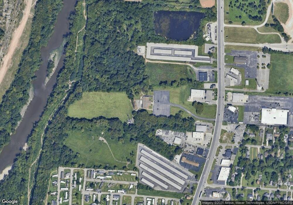
Map
Nearby Homes
- 202 Williams Rd
- 256 Rumsey Rd Unit 258
- 162 Phelps Rd
- 245 Marilla Rd
- 228 Currier Dr
- 2808 Dolby Dr
- 3380 Parsons Ave
- 145 Ziegler Ave
- 400 Colton Rd
- 312 Harland Dr
- 0 Jana Kay Ct
- 443 Carolann Ave
- 115 W Castle Rd
- 3714 Parsons Ave
- 525 Ashwood Rd
- 19 E Castle Rd
- 164 E Alcott Rd
- 0 F Ave Unit 224036459
- 0 Parsons Ave Unit 225012522
- 3158 F Ave