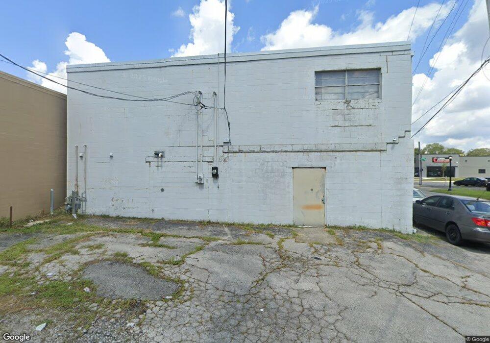
3253 W Broad St Columbus, OH 43204
Westgate NeighborhoodEstimated Value: $181,360
--
Bed
--
Bath
4,400
Sq Ft
$41/Sq Ft
Est. Value
About This Home
This home is located at 3253 W Broad St, Columbus, OH 43204 and is currently estimated at $181,360, approximately $41 per square foot. 3253 W Broad St is a home located in Franklin County with nearby schools including Westgate Alternative Elementary School, Westmoor Middle School, and West High School.
Ownership History
Date
Name
Owned For
Owner Type
Purchase Details
Closed on
Aug 7, 2024
Sold by
Max Auto Real Estate Llc
Bought by
One Billion Real Estate Llc
Current Estimated Value
Purchase Details
Closed on
Dec 17, 2015
Sold by
Arthur H Katz & Calvin Katz Real Estate
Bought by
Max Auto Real Estate Llc
Purchase Details
Closed on
Apr 1, 1993
Bought by
Katz Arthur H and Calvin Re
Create a Home Valuation Report for This Property
The Home Valuation Report is an in-depth analysis detailing your home's value as well as a comparison with similar homes in the area
Home Values in the Area
Average Home Value in this Area
Purchase History
| Date | Buyer | Sale Price | Title Company |
|---|---|---|---|
| One Billion Real Estate Llc | $180,000 | Search2close | |
| Max Auto Real Estate Llc | -- | Attorney | |
| Katz Arthur H | -- | -- |
Source: Public Records
Tax History Compared to Growth
Tax History
| Year | Tax Paid | Tax Assessment Tax Assessment Total Assessment is a certain percentage of the fair market value that is determined by local assessors to be the total taxable value of land and additions on the property. | Land | Improvement |
|---|---|---|---|---|
| 2024 | $5,763 | $77,640 | $14,180 | $63,460 |
| 2023 | $5,671 | $77,630 | $14,175 | $63,455 |
| 2022 | $5,045 | $67,270 | $12,390 | $54,880 |
| 2021 | $5,066 | $67,270 | $12,390 | $54,880 |
| 2020 | $5,032 | $67,270 | $12,390 | $54,880 |
| 2019 | $5,276 | $64,060 | $11,800 | $52,260 |
| 2018 | $2,630 | $64,060 | $11,800 | $52,260 |
| 2017 | $5,270 | $64,060 | $11,800 | $52,260 |
| 2016 | $5,331 | $61,260 | $11,800 | $49,460 |
| 2015 | $2,475 | $61,260 | $11,800 | $49,460 |
| 2014 | $4,947 | $61,260 | $11,800 | $49,460 |
| 2013 | $2,451 | $61,250 | $11,795 | $49,455 |
Source: Public Records
Map
Nearby Homes
- 32 Orel Ave
- 36-38 Orel Ave
- 43 Letchworth Ave
- 30 Demorest Rd
- 66 N Brinker Ave
- 3096 Ellis Place
- 133 S Brinker Ave
- 113 N Brinker Ave Unit 115
- 160 N Sylvan Ave
- 195 S Sylvan Ave
- 119 N Westgate Ave
- 180 N Sylvan Ave
- 3100 Steele Ave
- 253 Powhatan Ave
- 75 N Huron Ave
- 0 S Brinker Ave
- 267 S Westgate Ave
- 58 Binns Blvd
- 154-156 N Huron Ave
- 328 S Southampton Ave
- 25 S Sylvan Ave
- 34 S Sylvan Ave
- 31 S Sylvan Ave
- 33 Powhatan Ave
- 3225 W Broad St
- 3281 W Broad St
- 37 S Sylvan Ave
- 4 N Sylvan Ave
- 26 Powhatan Ave
- 26 S Southampton Ave
- 8 N Sylvan Ave
- 41 Powhatan Ave
- 45 S Sylvan Ave
- 3260 W Broad St
- 32 S Southampton Ave
- 47 Powhatan Ave
- 3274 W Broad St
- 3278 W Broad St
- 3252 W Broad St
- 51 S Sylvan Ave