3256 Borogrove Way Unit 57 Decatur, GA 30032
Estimated Value: $215,000 - $281,000
3
Beds
3
Baths
1,970
Sq Ft
$131/Sq Ft
Est. Value
About This Home
This home is located at 3256 Borogrove Way Unit 57, Decatur, GA 30032 and is currently estimated at $258,369, approximately $131 per square foot. 3256 Borogrove Way Unit 57 is a home located in DeKalb County with nearby schools including Snapfinger Elementary School, Columbia Middle School, and Columbia High School.
Ownership History
Date
Name
Owned For
Owner Type
Purchase Details
Closed on
Jul 24, 2006
Sold by
Whitehall Homes Inc;+
Bought by
Carter Geneva
Current Estimated Value
Home Financials for this Owner
Home Financials are based on the most recent Mortgage that was taken out on this home.
Original Mortgage
$189,900
Outstanding Balance
$153,020
Interest Rate
6.73%
Mortgage Type
New Conventional
Estimated Equity
$105,349
Create a Home Valuation Report for This Property
The Home Valuation Report is an in-depth analysis detailing your home's value as well as a comparison with similar homes in the area
Home Values in the Area
Average Home Value in this Area
Purchase History
| Date | Buyer | Sale Price | Title Company |
|---|---|---|---|
| Carter Geneva | $189,900 | -- |
Source: Public Records
Mortgage History
| Date | Status | Borrower | Loan Amount |
|---|---|---|---|
| Open | Carter Geneva | $189,900 |
Source: Public Records
Tax History Compared to Growth
Tax History
| Year | Tax Paid | Tax Assessment Tax Assessment Total Assessment is a certain percentage of the fair market value that is determined by local assessors to be the total taxable value of land and additions on the property. | Land | Improvement |
|---|---|---|---|---|
| 2024 | $3,437 | $113,680 | $20,000 | $93,680 |
| 2023 | $3,437 | $111,680 | $20,000 | $91,680 |
| 2022 | $2,973 | $95,920 | $14,000 | $81,920 |
| 2021 | $2,507 | $75,760 | $14,000 | $61,760 |
| 2020 | $2,284 | $68,640 | $14,000 | $54,640 |
| 2019 | $2,264 | $68,800 | $14,000 | $54,800 |
| 2018 | $1,468 | $50,640 | $10,000 | $40,640 |
| 2017 | $1,607 | $47,920 | $10,000 | $37,920 |
| 2016 | $1,555 | $47,560 | $7,600 | $39,960 |
| 2014 | $869 | $27,600 | $7,600 | $20,000 |
Source: Public Records
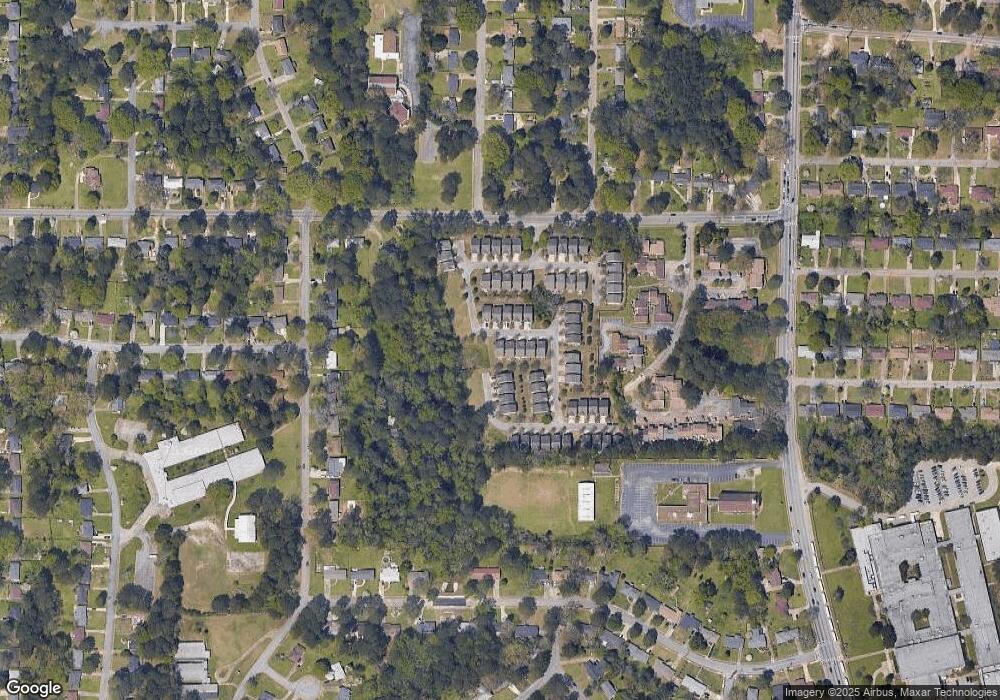
Map
Nearby Homes
- 3297 Sheffield Cir
- 2050 Oak Park Ln
- 2033 Oak Park Ln
- 2009 Oak Park Ln Unit 2009
- 2030 Shamrock Dr
- 2064 Shamrock Dr
- 2043 Columbia Dr
- 2004 Shamrock Dr
- 3235 Mcafee Rd
- 1990 Shamrock Dr
- 1997 Columbia Dr
- 2135 Kilarney Rd
- 1973 Columbia Dr
- 3199 Mcafee Rd
- 1986 Bandera Dr
- 3409 Hyland Dr
- 2167 Kilarney Rd
- 3415 Homera Place
- 1779 Rosewood Rd
- 2131 Columbia Dr
- 3254 Borogrove Way Unit 56
- 3254 Borogrove Way
- 3252 Borogrove Way Unit 55
- 3048 Momerath Ct Unit 45
- 3250 Borogrove Way Unit 42
- 0 Borogrove Way Unit 7353245
- 0 Borogrove Way Unit 7110152
- 0 Borogrove Way Unit 7008308
- 0 Borogrove Way Unit 7038567
- 0 Borogrove Way Unit 3163448
- 0 Borogrove Way Unit 8356488
- 0 Borogrove Way
- 3253 Borogrove Way
- 3253 Borogrove Way Unit 3253
- 3255 Borogrove Way
- 3249 Borogrove Way
- 3050 Momerath Ct
- 3248 Borogrove Way
- 3248 Borogrove Way
- 3247 Borogrove Way