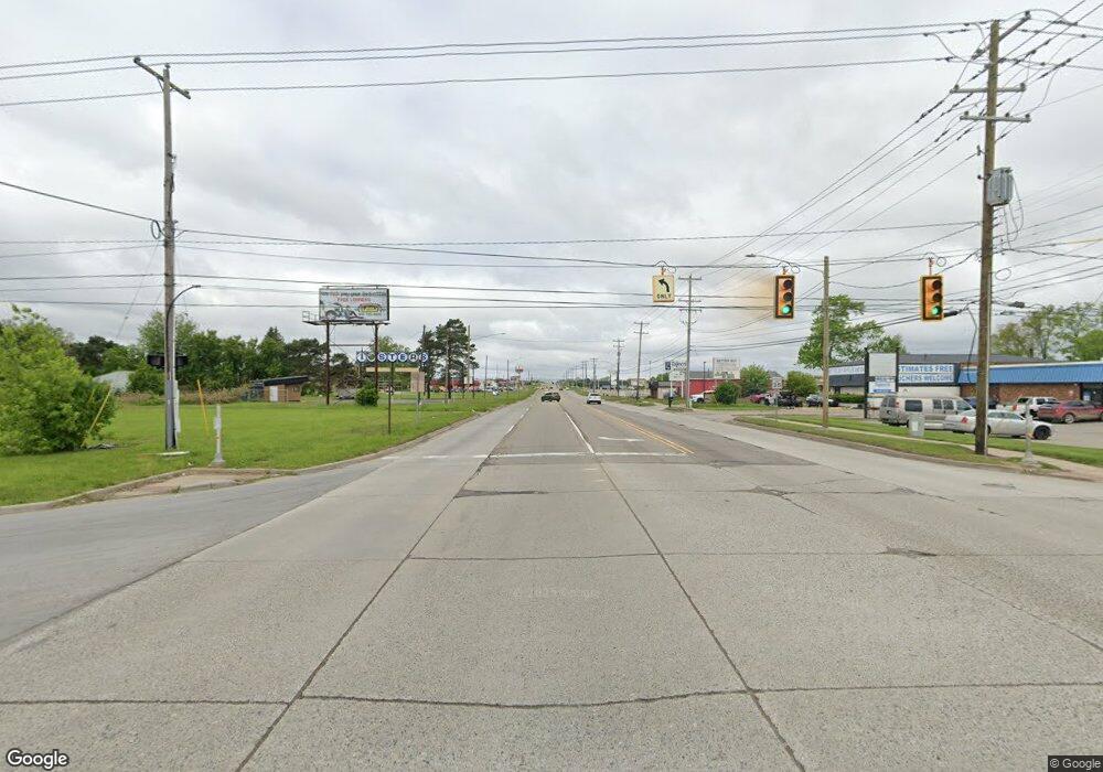
Estimated Value: $59,000 - $84,000
--
Bed
--
Bath
--
Sq Ft
5,227
Sq Ft Lot
About This Home
This home is located at 3256 W Pierson Rd, Flint, MI 48504 and is currently estimated at $71,538. 3256 W Pierson Rd is a home located in Genesee County with nearby schools including Col. Donald McMonagle Elementary School, Hamady Community Middle/High School, and Eagle's Nest Academy.
Ownership History
Date
Name
Owned For
Owner Type
Purchase Details
Closed on
May 9, 2008
Sold by
Knoblock Elmer F and Knoblock Beverly
Bought by
Bell Tracey E
Current Estimated Value
Purchase Details
Closed on
Aug 9, 2006
Sold by
Hajek Anthony P and Hajek Mildred Ann
Bought by
Knoblock Elmer F and Knoblock Beverly
Create a Home Valuation Report for This Property
The Home Valuation Report is an in-depth analysis detailing your home's value as well as a comparison with similar homes in the area
Home Values in the Area
Average Home Value in this Area
Purchase History
| Date | Buyer | Sale Price | Title Company |
|---|---|---|---|
| Bell Tracey E | $44,777 | Metropolitan Title Company | |
| Knoblock Elmer F | $7,500 | Sargents Title Company |
Source: Public Records
Tax History Compared to Growth
Tax History
| Year | Tax Paid | Tax Assessment Tax Assessment Total Assessment is a certain percentage of the fair market value that is determined by local assessors to be the total taxable value of land and additions on the property. | Land | Improvement |
|---|---|---|---|---|
| 2025 | $742 | $33,900 | $0 | $0 |
| 2024 | $151 | $31,100 | $0 | $0 |
| 2023 | $144 | $25,300 | $0 | $0 |
| 2022 | $662 | $22,100 | $0 | $0 |
| 2021 | $658 | $18,100 | $0 | $0 |
| 2020 | $131 | $17,300 | $0 | $0 |
| 2019 | $129 | $14,100 | $0 | $0 |
| 2018 | $601 | $11,800 | $0 | $0 |
| 2017 | $581 | $11,500 | $0 | $0 |
| 2016 | $577 | $11,400 | $0 | $0 |
| 2015 | $434 | $11,500 | $0 | $0 |
| 2014 | $119 | $10,700 | $0 | $0 |
| 2012 | -- | $12,600 | $12,600 | $0 |
Source: Public Records
Map
Nearby Homes
- 3299 W Ridgeway Ave
- VL W Parkway Ave
- 0 Gracelawn Ave
- 4203 Minerva Dr
- 4039 Oconner Rd
- 3330 Maywood Dr
- 4822 Birchcrest Dr
- 5106 Cloverlawn Dr
- 1913 Cherrylawn Dr
- 5905 Cloverlawn Dr
- 3145 Raywood St
- 2118 Santa Barbara Dr
- 5620 Marlowe Dr
- 1902 Marlowe Dr
- 2017 Chateau Dr
- 6310 Valorie Ln
- 5806 Marlowe Dr
- 3213 N Jennings Rd
- 1720 Marlowe Dr
- 4184 W Pierson Rd
- 3250 W Pierson Rd
- 3274 W Pierson Rd
- 3255 W Ridgeway Ave
- 3240 W Pierson Rd
- 3245 W Ridgeway Ave
- 3251 W Ridgeway Ave
- 3278 W Pierson Rd
- 4040 Minerva Dr
- 3283 W Ridgeway Ave
- 3225 W Ridgeway Ave
- 3231 W Ridgeway Ave
- 3228 W Pierson Rd
- 3232 W Ridgeway Ave
- 3515 Minerva Dr
- 3290 W Pierson Rd
- 3291 W Ridgeway Ave
- 3219 W Ridgeway Ave
- 3226 W Ridgeway Ave
- 3509 Minerva Dr
- 3291 W Pierson Rd
