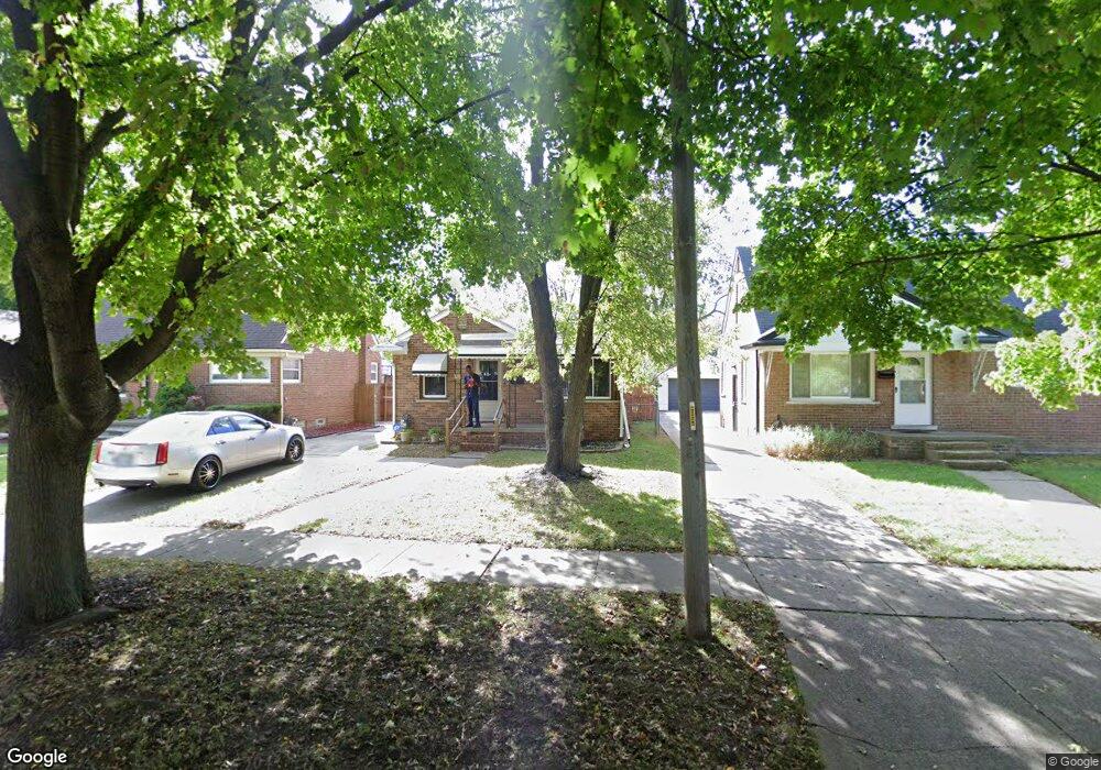
326 Amherst St Unit Bldg-Unit Inkster, MI 48141
Estimated Value: $133,146 - $167,000
--
Bed
2
Baths
900
Sq Ft
$165/Sq Ft
Est. Value
About This Home
This home is located at 326 Amherst St Unit Bldg-Unit, Inkster, MI 48141 and is currently estimated at $148,787, approximately $165 per square foot. 326 Amherst St Unit Bldg-Unit is a home located in Wayne County with nearby schools including David Hicks School, Marshall Upper Elementary School, and John Glenn High School.
Ownership History
Date
Name
Owned For
Owner Type
Purchase Details
Closed on
Aug 29, 2024
Sold by
Elbaba Mohamad
Bought by
Lilia Holdings Llc
Current Estimated Value
Purchase Details
Closed on
May 7, 2018
Sold by
Thompson Jeffery Allen and Thompson Sheryl Lynn
Bought by
Baba Mohamed El
Purchase Details
Closed on
Nov 19, 2005
Sold by
Thompson Jeffery Allen
Bought by
Thompson Jeffery Allen
Create a Home Valuation Report for This Property
The Home Valuation Report is an in-depth analysis detailing your home's value as well as a comparison with similar homes in the area
Home Values in the Area
Average Home Value in this Area
Purchase History
| Date | Buyer | Sale Price | Title Company |
|---|---|---|---|
| Lilia Holdings Llc | -- | None Listed On Document | |
| Baba Mohamed El | $35,000 | Fidelity National Title | |
| Thompson Jeffery Allen | -- | None Available |
Source: Public Records
Tax History Compared to Growth
Tax History
| Year | Tax Paid | Tax Assessment Tax Assessment Total Assessment is a certain percentage of the fair market value that is determined by local assessors to be the total taxable value of land and additions on the property. | Land | Improvement |
|---|---|---|---|---|
| 2025 | $1,639 | $57,700 | $0 | $0 |
| 2024 | $1,639 | $48,300 | $0 | $0 |
| 2023 | $1,618 | $38,400 | $0 | $0 |
| 2022 | $1,885 | $31,000 | $0 | $0 |
| 2021 | $1,968 | $28,000 | $0 | $0 |
| 2020 | $2,795 | $23,600 | $0 | $0 |
| 2019 | $2,925 | $19,800 | $0 | $0 |
| 2018 | $1,053 | $18,300 | $0 | $0 |
| 2017 | $594 | $18,100 | $0 | $0 |
| 2016 | $1,462 | $18,200 | $0 | $0 |
| 2015 | $2,580 | $25,800 | $0 | $0 |
| 2013 | $3,490 | $34,900 | $0 | $0 |
| 2012 | $1,900 | $36,700 | $3,400 | $33,300 |
Source: Public Records
Map
Nearby Homes
- 256 Brentwood St
- 742 Arlington St
- 26607 Monticello St
- 811 Arlington St
- 26476 Stollman Dr
- 26508 Monticello St
- 420 Fairwood St
- 212 Shadowlawn St
- 148 Rosemary St
- 26251 Somerset Dr
- 1014 Arlington St
- 784 Patterson Ct
- 9 Canfield Cir
- 1088 Arlington St
- 6 Canfield Cir
- 26431 Sunningdale Dr
- 391 Arcola St
- 26006 Cherry Hill Rd
- 375 Arcola St
- 26004 Shirley Ln
- 326 Amherst St
- 320 Amherst St
- 332 Amherst St
- 314 Amherst St
- 338 Amherst St
- 308 Amherst St
- 344 Amherst St
- 349 Brentwood St
- 357 Brentwood St
- 341 Brentwood St
- 333 Brentwood St
- 365 Brentwood St
- 350 Amherst St
- 302 Amherst St
- 325 Brentwood St
- 373 Brentwood St
- 329 Amherst St
- 356 Amherst St
- 335 Amherst St
- 317 Amherst St