326 Briarcliff Rd Grover, NC 28073
Estimated Value: $219,000 - $293,000
--
Bed
--
Bath
1,612
Sq Ft
$162/Sq Ft
Est. Value
About This Home
This home is located at 326 Briarcliff Rd, Grover, NC 28073 and is currently estimated at $261,411, approximately $162 per square foot. 326 Briarcliff Rd is a home located in Cleveland County with nearby schools including Grover Elementary School, Kings Mountain Middle, and Kings Mountain Intermediate School.
Ownership History
Date
Name
Owned For
Owner Type
Purchase Details
Closed on
Jul 24, 2006
Sold by
Charles David and Deaton Sherry L
Bought by
Deaton David Charles and Deaton Sherry L
Current Estimated Value
Home Financials for this Owner
Home Financials are based on the most recent Mortgage that was taken out on this home.
Original Mortgage
$32,000
Interest Rate
6.68%
Mortgage Type
Stand Alone Second
Create a Home Valuation Report for This Property
The Home Valuation Report is an in-depth analysis detailing your home's value as well as a comparison with similar homes in the area
Home Values in the Area
Average Home Value in this Area
Purchase History
| Date | Buyer | Sale Price | Title Company |
|---|---|---|---|
| Deaton David Charles | -- | None Available |
Source: Public Records
Mortgage History
| Date | Status | Borrower | Loan Amount |
|---|---|---|---|
| Closed | Deaton David Charles | $32,000 | |
| Open | Deaton David Charles | $128,000 |
Source: Public Records
Tax History Compared to Growth
Tax History
| Year | Tax Paid | Tax Assessment Tax Assessment Total Assessment is a certain percentage of the fair market value that is determined by local assessors to be the total taxable value of land and additions on the property. | Land | Improvement |
|---|---|---|---|---|
| 2025 | $2,767 | $272,611 | $11,766 | $260,845 |
| 2024 | $2,213 | $189,037 | $10,506 | $178,531 |
| 2023 | $2,202 | $189,037 | $10,506 | $178,531 |
| 2022 | $2,164 | $189,037 | $10,506 | $178,531 |
| 2021 | $2,175 | $189,037 | $10,506 | $178,531 |
| 2020 | $1,480 | $125,661 | $7,816 | $117,845 |
| 2019 | $1,480 | $125,661 | $7,816 | $117,845 |
| 2018 | $1,416 | $125,661 | $7,816 | $117,845 |
| 2017 | $1,409 | $125,661 | $7,816 | $117,845 |
| 2016 | $1,413 | $125,661 | $7,816 | $117,845 |
| 2015 | $1,515 | $134,832 | $7,816 | $127,016 |
| 2014 | $1,515 | $134,832 | $7,816 | $127,016 |
Source: Public Records
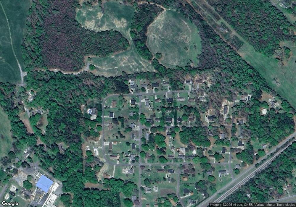
Map
Nearby Homes
- 105 Elm Rd
- 132 Hicks Rd Unit 1
- 111 Hicks Rd Unit 9
- 308 M H Camp Hwy
- 101 Melvin Ct
- 00 Bethlehem Church Rd
- 101 Park Ln
- 203 Bethlehem Church Rd
- 811 Cleveland Ave
- 303 Hardin Cir
- 129 Lakeview Dr
- 219 Watterson Rd
- 764 S Battleground Ave
- 210 Roy Bell Rd
- 00 Mill Creek Rd
- 164 Blackburn Dr
- 614 Tribal Rd
- 603 Tribal Rd
- 00 Bunny Run
- 131 Sam Smith Dr
- 215 N Timberland Dr
- 215 N Timberland Dr Unit 97
- 101 Woodside Dr
- 327 Briarcliff Rd
- 103 Woodside Dr
- 103 Woodside Dr
- 218 N Timberland Dr
- 216 N Timberland Dr
- 325 Briarcliff Rd
- 220 N Timberland Dr
- 105 Woodside Dr
- 214 N Timberland Dr
- 323 Briarcliff Rd
- 211 N Timberland Dr
- 301 W Timberland Dr
- 320 Briarcliff Rd
- 107 Woodside Dr
- 303 W Timberland Dr
- 321 Briarcliff Rd
- 106 Woodside Dr